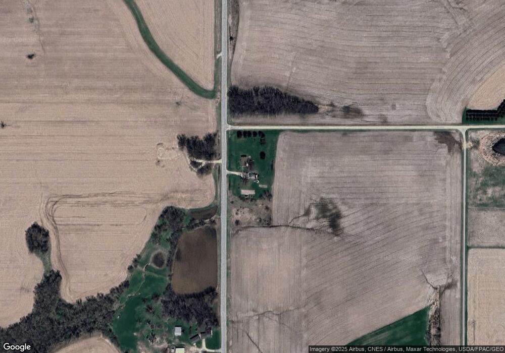
27048 County Road 19 Winona, MN 55987
Estimated Value: $258,000 - $311,485
3
Beds
1
Bath
1,196
Sq Ft
$245/Sq Ft
Est. Value
About This Home
This home is located at 27048 County Road 19, Winona, MN 55987 and is currently estimated at $292,871, approximately $244 per square foot. 27048 County Road 19 is a home located in Winona County with nearby schools including Washington-Kosciusko Elementary School, Winona Middle School, and Winona Senior High School.
Ownership History
Date
Name
Owned For
Owner Type
Purchase Details
Closed on
Mar 9, 2018
Sold by
Amann Diane A
Bought by
Amann David and Amann Tressie
Current Estimated Value
Home Financials for this Owner
Home Financials are based on the most recent Mortgage that was taken out on this home.
Original Mortgage
$132,000
Outstanding Balance
$112,682
Interest Rate
4.22%
Mortgage Type
New Conventional
Estimated Equity
$180,189
Purchase Details
Closed on
Jul 1, 2015
Sold by
Amann Diane Diane
Bought by
Amann David David
Create a Home Valuation Report for This Property
The Home Valuation Report is an in-depth analysis detailing your home's value as well as a comparison with similar homes in the area
Home Values in the Area
Average Home Value in this Area
Purchase History
| Date | Buyer | Sale Price | Title Company |
|---|---|---|---|
| Amann David | $150,000 | None Available | |
| Amann David David | $150,000 | -- |
Source: Public Records
Mortgage History
| Date | Status | Borrower | Loan Amount |
|---|---|---|---|
| Open | Amann David | $132,000 |
Source: Public Records
Tax History Compared to Growth
Tax History
| Year | Tax Paid | Tax Assessment Tax Assessment Total Assessment is a certain percentage of the fair market value that is determined by local assessors to be the total taxable value of land and additions on the property. | Land | Improvement |
|---|---|---|---|---|
| 2025 | $1,910 | $269,600 | $90,400 | $179,200 |
| 2024 | $1,910 | $253,300 | $85,300 | $168,000 |
| 2023 | $1,926 | $264,300 | $85,300 | $179,000 |
| 2022 | $1,630 | $258,800 | $86,900 | $171,900 |
| 2021 | $1,618 | $197,300 | $64,200 | $133,100 |
| 2020 | $1,768 | $191,700 | $62,200 | $129,500 |
| 2019 | $1,744 | $191,700 | $62,200 | $129,500 |
| 2018 | $1,702 | $182,800 | $57,000 | $125,800 |
| 2017 | $1,644 | $0 | $0 | $0 |
| 2016 | $1,556 | $0 | $0 | $0 |
| 2015 | $1,556 | $0 | $0 | $0 |
| 2014 | $1,732 | $0 | $0 | $0 |
Source: Public Records
Map
Nearby Homes
- TBD Lot 1 County Road 12
- 26228 Rocky Ridge Rd
- TBD Lot 2 Waida Rd
- TBD Lot 5 Waida Rd
- TBD Lot 4 Waida Rd
- TBD Lot 3 Waida Rd
- 26085 Frank Hill Rd
- 0 E Burns Valley Rd Unit 1933975
- 26283 Meadowbrook Ln
- 24242 Pfeiffer Hill Rd
- 23146 Highway 43
- TBD E Burns Valley Rd
- 34506 Pleasant Point Dr
- 169 Cobblestone Ln
- 851 6th St W
- 75 Debi Lei Dr
- 182 Treetops Ln
- 53 Rodeo Dr
- 58 Buck Ridge Dr
- 1376 Skyline Dr
- 27237 County Road 19
- 30603 Dairyland Dr
- 30499 Dairyland Dr
- 27539 County Road 19
- 27611 County Road 19
- 26431 County Road 19
- 29835 Elfmanns Dr
- 27658 County Road 19
- 27658 County Road 19
- 27658 County Road 19
- 27658 County Road 19
- 27658 County Road 19
- 27658 County Road 19
- 27658 County Road 19
- 27658 County Road 19
- 27658 County Road 19
- 27658 County Road 19
- 27658 County Road 19
- 26375 County Road 19
- 26375 County Road 19
