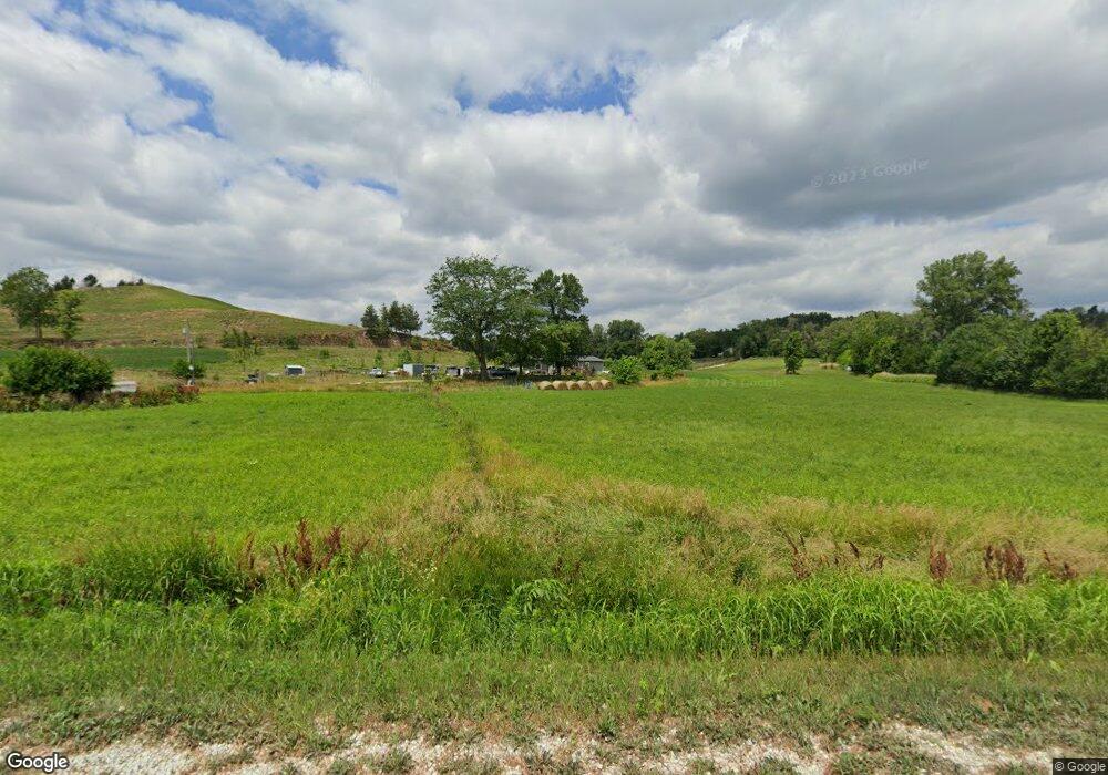
27048 Ski Hill Loop Honey Creek, IA 51542
Estimated Value: $388,000 - $565,000
3
Beds
2
Baths
1,740
Sq Ft
$270/Sq Ft
Est. Value
About This Home
This home is located at 27048 Ski Hill Loop, Honey Creek, IA 51542 and is currently estimated at $470,064, approximately $270 per square foot. 27048 Ski Hill Loop is a home located in Pottawattamie County with nearby schools including Crescent Elementary School, Gerald W. Kirn Middle School, and Abraham Lincoln High School.
Ownership History
Date
Name
Owned For
Owner Type
Purchase Details
Closed on
Nov 8, 2021
Sold by
Reese Emmalee A and Reese Micheal D
Bought by
Reese Emmalee A and Reese Micheal D
Current Estimated Value
Home Financials for this Owner
Home Financials are based on the most recent Mortgage that was taken out on this home.
Original Mortgage
$102,122
Outstanding Balance
$93,603
Interest Rate
3.01%
Mortgage Type
New Conventional
Estimated Equity
$376,461
Purchase Details
Closed on
Oct 3, 2016
Sold by
Estate Of Deborah A Cain
Bought by
Cain Emmalee A
Home Financials for this Owner
Home Financials are based on the most recent Mortgage that was taken out on this home.
Original Mortgage
$65,000
Interest Rate
3.46%
Mortgage Type
Commercial
Purchase Details
Closed on
Apr 15, 2011
Sold by
Federal National Mortgage Association
Bought by
Cain Deborah A and Driver Emma M
Create a Home Valuation Report for This Property
The Home Valuation Report is an in-depth analysis detailing your home's value as well as a comparison with similar homes in the area
Home Values in the Area
Average Home Value in this Area
Purchase History
| Date | Buyer | Sale Price | Title Company |
|---|---|---|---|
| Reese Emmalee A | -- | None Available | |
| Reese Emmalee A | -- | None Listed On Document | |
| Cain Emmalee A | $117,000 | None Available | |
| Cain Deborah A | -- | None Available |
Source: Public Records
Mortgage History
| Date | Status | Borrower | Loan Amount |
|---|---|---|---|
| Open | Reese Emmalee A | $102,122 | |
| Closed | Reese Emmalee A | $102,122 | |
| Previous Owner | Cain Emmalee A | $65,000 | |
| Previous Owner | Cain Emmalee A | $50,000 |
Source: Public Records
Tax History Compared to Growth
Tax History
| Year | Tax Paid | Tax Assessment Tax Assessment Total Assessment is a certain percentage of the fair market value that is determined by local assessors to be the total taxable value of land and additions on the property. | Land | Improvement |
|---|---|---|---|---|
| 2025 | $2,946 | $263,600 | $132,800 | $130,800 |
| 2024 | $2,946 | $225,400 | $115,500 | $109,900 |
| 2023 | $2,912 | $225,400 | $115,500 | $109,900 |
| 2022 | $2,910 | $189,900 | $98,600 | $91,300 |
| 2021 | $4,268 | $189,900 | $98,600 | $91,300 |
| 2020 | $2,687 | $156,750 | $70,680 | $86,070 |
| 2019 | $2,785 | $156,750 | $70,680 | $86,070 |
| 2018 | $2,730 | $156,750 | $70,680 | $86,070 |
| 2017 | $2,730 | $156,750 | $70,680 | $86,070 |
| 2015 | $2,574 | $156,750 | $70,680 | $86,070 |
| 2014 | $2,578 | $156,750 | $70,680 | $86,070 |
Source: Public Records
Map
Nearby Homes
- 28299 185th St
- 27019 195th St
- 205.14 AC Pinoak Rd
- 114 Riordan St
- 162.11 AC Cougar Ave
- 143.23 AC 195th St
- 29965 185th St
- 20 ACRES Old Lincoln Hwy
- 32 ACRES Old Lincoln Hwy
- 104 E Florence St
- 92.1 ACRES 185th St
- 111.89 AC 208th St
- 26366 208th St
- 1321 Copper Mountain Dr
- 1317 Silver Ln
- 1315 Silver Ln
- 1318 Silver Ln
- 30238 Nixon Dr
- 1314 Silver Ln
- 230.67 AC 208th St
- 27124 Ski Hill Loop
- 26888 Ski Hill Loop
- 26990 Ski Hill Loop
- 26952 Ski Hill Loop
- 26840 Ski Hill Loop
- 26786 Ski Hill Loop
- 26654 Ski Hill Loop
- 17655 Page Ln
- 27564 Ski Hill Loop
- 27638 Ski Hill Loop
- 17486 Pheasant Run Rd
- 17370 Pheasant Run Rd
- 27446 Old Lincoln Hwy
- 26480 Ski Hill Loop
- 27485 185th St
- 27861 Old Lincoln Hwy
- 27526 185th St
- 27853 Old Lincoln Hwy
- 26752 Old Lincoln Hwy
- 27692 185th St
