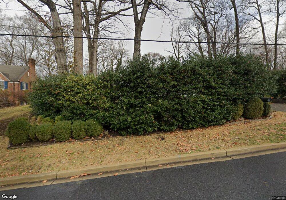
2705 Daniel Rd Chevy Chase, MD 20815
Chevy Chase Park NeighborhoodEstimated Value: $2,247,000 - $3,624,000
--
Bed
4
Baths
6,681
Sq Ft
$420/Sq Ft
Est. Value
About This Home
This home is located at 2705 Daniel Rd, Chevy Chase, MD 20815 and is currently estimated at $2,802,746, approximately $419 per square foot. 2705 Daniel Rd is a home located in Montgomery County with nearby schools including Long Prairie-Grey Eagle Elementary, Hoover School, and Rosemary Hills Elementary School.
Ownership History
Date
Name
Owned For
Owner Type
Purchase Details
Closed on
Nov 30, 2012
Sold by
Furchtgott Roth Harold W and Revocable Trust Agreement Of A
Bought by
Furchtgott Roth Harold W and Revocable Trust Agreement Of H
Current Estimated Value
Purchase Details
Closed on
Mar 17, 2004
Sold by
Cogen Fran R
Bought by
Furchtgot Furchtgot and Furchtgot Diana E
Purchase Details
Closed on
Oct 1, 2003
Sold by
Cogen Philip H and Cogen R F
Bought by
Cogen Fran R
Purchase Details
Closed on
Feb 10, 1997
Sold by
Ruth Resnick Tr
Bought by
R Philip H and R Cogen F
Create a Home Valuation Report for This Property
The Home Valuation Report is an in-depth analysis detailing your home's value as well as a comparison with similar homes in the area
Home Values in the Area
Average Home Value in this Area
Purchase History
| Date | Buyer | Sale Price | Title Company |
|---|---|---|---|
| Furchtgott Roth Harold W | -- | None Available | |
| Furchtgot Furchtgot | $1,302,500 | -- | |
| Cogen Fran R | -- | -- | |
| R Philip H | $730,000 | -- |
Source: Public Records
Tax History Compared to Growth
Tax History
| Year | Tax Paid | Tax Assessment Tax Assessment Total Assessment is a certain percentage of the fair market value that is determined by local assessors to be the total taxable value of land and additions on the property. | Land | Improvement |
|---|---|---|---|---|
| 2025 | $31,015 | $2,618,800 | $913,600 | $1,705,200 |
| 2024 | $31,015 | $2,618,800 | $913,600 | $1,705,200 |
| 2023 | $30,311 | $2,618,800 | $913,600 | $1,705,200 |
| 2022 | $29,054 | $2,625,600 | $830,500 | $1,795,100 |
| 2021 | $28,935 | $2,625,600 | $830,500 | $1,795,100 |
| 2020 | $28,935 | $2,625,600 | $830,500 | $1,795,100 |
| 2019 | $31,504 | $2,863,100 | $754,900 | $2,108,200 |
| 2018 | $30,825 | $2,799,267 | $0 | $0 |
| 2017 | $30,660 | $2,735,433 | $0 | $0 |
| 2016 | -- | $2,671,600 | $0 | $0 |
| 2015 | $12,553 | $2,511,067 | $0 | $0 |
| 2014 | $12,553 | $2,350,533 | $0 | $0 |
Source: Public Records
Map
Nearby Homes
- 2714 Washington Ave
- 8006 Ellingson Dr
- 8002 Ellingson Dr
- 2725 Washington Ave
- 2729 Washington Ave
- 2701 Blaine Dr
- 8209 Meadowbrook Ln
- 3112 Rolling Rd
- 2611 E West Hwy
- 3113 Brooklawn Terrace
- 6923 Western Ave NW
- 2704 Ross Rd
- 7966 W Beach Dr NW
- 2403 Colston Dr
- 2944 Terrace Dr
- 2312 Colston Dr Unit 201
- 2223 Washington Ave Unit 2223-W
- 6702 Oregon Ave NW
- 6674 32nd St NW
- 2205 Washington Ave Unit 102
- 2703 Daniel Rd
- 2715 Daniel Rd
- 2701 Daniel Rd
- 2717 Daniel Rd
- 7420 Western Ave
- 2710 Daniel Rd
- 2719 Daniel Rd
- 7416 Western Ave
- 7080 Oregon Ave NW
- 2721 Daniel Rd
- 7076 Oregon Ave NW
- 2720 Daniel Rd
- 7401 Western Ave NW
- 7410 Western Ave
- 2725 Daniel Rd
- 7070 Oregon Ave NW
- 2726 Daniel Rd
- 7069 31st St NW
- 2729 Daniel Rd
- 7080 31st St NW
