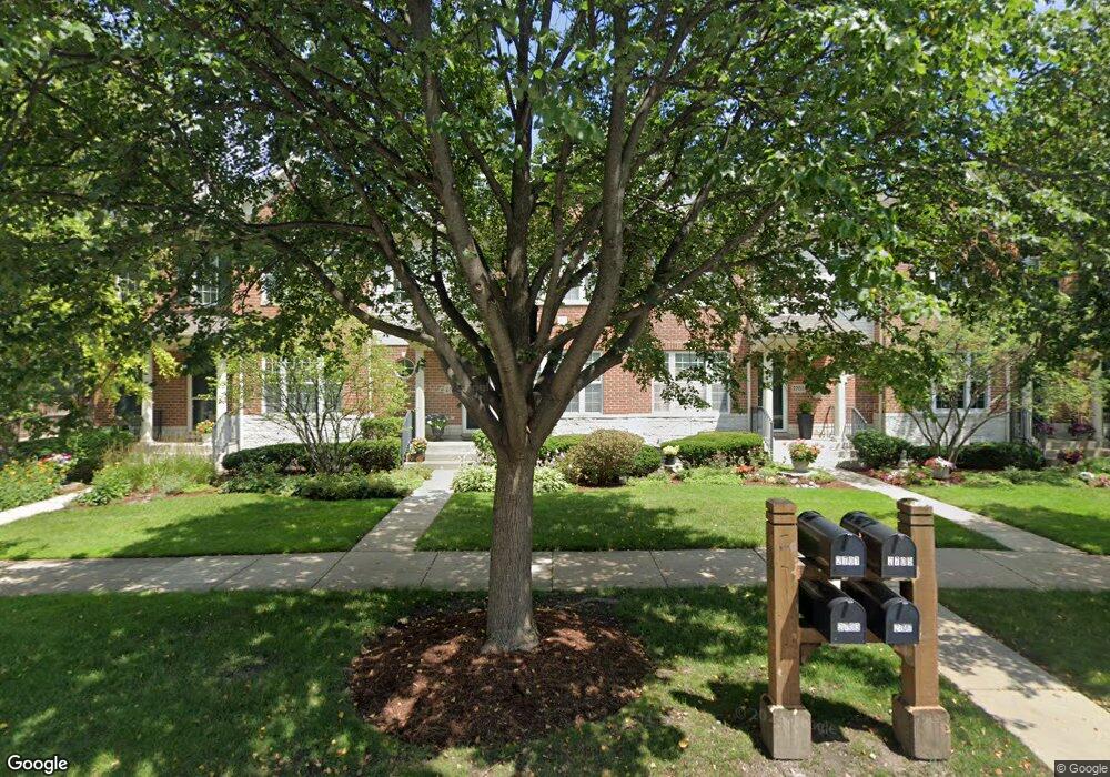
2705 Langley Cir Unit 401027 Glenview, IL 60026
The Glen NeighborhoodEstimated Value: $571,984 - $673,000
2
Beds
3
Baths
1,865
Sq Ft
$342/Sq Ft
Est. Value
About This Home
This home is located at 2705 Langley Cir Unit 401027, Glenview, IL 60026 and is currently estimated at $637,746, approximately $341 per square foot. 2705 Langley Cir Unit 401027 is a home located in Cook County with nearby schools including Westbrook Elementary School, Glen Grove Elementary School, and Attea Middle School.
Ownership History
Date
Name
Owned For
Owner Type
Purchase Details
Closed on
Sep 26, 2000
Sold by
Glenbase Venture
Bought by
Fuog Ellen
Current Estimated Value
Home Financials for this Owner
Home Financials are based on the most recent Mortgage that was taken out on this home.
Original Mortgage
$210,400
Outstanding Balance
$75,798
Interest Rate
7.75%
Estimated Equity
$561,949
Create a Home Valuation Report for This Property
The Home Valuation Report is an in-depth analysis detailing your home's value as well as a comparison with similar homes in the area
Home Values in the Area
Average Home Value in this Area
Purchase History
| Date | Buyer | Sale Price | Title Company |
|---|---|---|---|
| Fuog Ellen | $371,000 | -- |
Source: Public Records
Mortgage History
| Date | Status | Borrower | Loan Amount |
|---|---|---|---|
| Open | Fuog Ellen | $210,400 |
Source: Public Records
Tax History Compared to Growth
Tax History
| Year | Tax Paid | Tax Assessment Tax Assessment Total Assessment is a certain percentage of the fair market value that is determined by local assessors to be the total taxable value of land and additions on the property. | Land | Improvement |
|---|---|---|---|---|
| 2024 | $7,480 | $48,435 | $3,564 | $44,871 |
| 2023 | $7,500 | $48,435 | $3,564 | $44,871 |
| 2022 | $7,500 | $48,435 | $3,564 | $44,871 |
| 2021 | $8,450 | $44,998 | $2,895 | $42,103 |
| 2020 | $7,778 | $44,998 | $2,895 | $42,103 |
| 2019 | $7,292 | $49,555 | $2,895 | $46,660 |
| 2018 | $8,054 | $42,786 | $2,505 | $40,281 |
| 2017 | $7,702 | $42,786 | $2,505 | $40,281 |
| 2016 | $8,145 | $42,786 | $2,505 | $40,281 |
| 2015 | $8,932 | $40,130 | $2,004 | $38,126 |
| 2014 | $8,781 | $40,130 | $2,004 | $38,126 |
| 2013 | $8,500 | $40,130 | $2,004 | $38,126 |
Source: Public Records
Map
Nearby Homes
- 2750 Langley Cir Unit 203013
- 1088 Shermer Rd Unit DW
- 2701 Commons Dr Unit 210
- 1045 Crystal Ct
- 1735 Patriot Blvd
- 1891 Admiral Ct Unit 79
- 3081 Saratoga Ln
- 1867 Admiral Ct Unit 91
- 2156 Rugen Rd Unit A
- 3212 Lindenwood Ln
- 2137 Glenview Rd
- 1615 Greenwood Rd
- 3335 Elmdale Rd
- 705 Glendale Rd
- 2005 Valor Ct Unit 43
- 1341 Greenwillow Ln Unit C
- 521 Michael Manor
- 2701 Langley Cir Unit 401025
- 2707 Langley Cir Unit 401028
- 2703 Langley Cir Unit 401026
- 2709 Langley Cir Unit 402029
- 2711 Langley Cir Unit 402030
- 2713 Langley Cir Unit 402031
- 2699 Independence Ave Unit 1
- 2715 Langley Cir Unit 402032
- 2714 Langley Cir Unit 201004
- 2718 Langley Cir Unit 201005
- 2722 Langley Cir Unit 201006
- 2710 Langley Cir Unit 201003
- 2706 Langley Cir Unit 201002
- 2691 Independence Ave
- 2717 Langley Cir Unit 402033
- 2719 Langley Cir Unit 402034
- 2703 Independence Ave
- 2721 Langley Cir Unit 403035
- 2683 Independence Ave
- 2723 Langley Cir Unit 403036