2705 W Blue Creek Rd Waverly, TN 37185
Estimated Value: $354,000 - $402,000
--
Bed
2
Baths
1,589
Sq Ft
$236/Sq Ft
Est. Value
About This Home
This home is located at 2705 W Blue Creek Rd, Waverly, TN 37185 and is currently estimated at $375,043, approximately $236 per square foot. 2705 W Blue Creek Rd is a home located in Humphreys County.
Ownership History
Date
Name
Owned For
Owner Type
Purchase Details
Closed on
Oct 5, 2021
Sold by
Kiser Vivian G and Kiser Vivian
Bought by
Jewell Patricia K and Jewell William A
Current Estimated Value
Home Financials for this Owner
Home Financials are based on the most recent Mortgage that was taken out on this home.
Original Mortgage
$100,000
Outstanding Balance
$76,331
Interest Rate
2.1%
Mortgage Type
New Conventional
Estimated Equity
$298,712
Purchase Details
Closed on
Aug 22, 1972
Bought by
Kiser William O and Kiser Vivian G
Create a Home Valuation Report for This Property
The Home Valuation Report is an in-depth analysis detailing your home's value as well as a comparison with similar homes in the area
Home Values in the Area
Average Home Value in this Area
Purchase History
| Date | Buyer | Sale Price | Title Company |
|---|---|---|---|
| Jewell Patricia K | $300,000 | None Available | |
| Kiser William O | -- | -- |
Source: Public Records
Mortgage History
| Date | Status | Borrower | Loan Amount |
|---|---|---|---|
| Open | Jewell Patricia K | $100,000 |
Source: Public Records
Tax History Compared to Growth
Tax History
| Year | Tax Paid | Tax Assessment Tax Assessment Total Assessment is a certain percentage of the fair market value that is determined by local assessors to be the total taxable value of land and additions on the property. | Land | Improvement |
|---|---|---|---|---|
| 2025 | $1,492 | $81,100 | $0 | $0 |
| 2024 | $1,492 | $81,100 | $19,600 | $61,500 |
| 2023 | $1,492 | $81,100 | $19,600 | $61,500 |
| 2022 | $1,185 | $54,350 | $16,375 | $37,975 |
| 2021 | $994 | $54,350 | $16,375 | $37,975 |
| 2020 | $994 | $45,600 | $7,625 | $37,975 |
| 2019 | $758 | $37,275 | $6,800 | $30,475 |
| 2018 | $758 | $37,275 | $6,800 | $30,475 |
| 2017 | $758 | $37,275 | $6,800 | $30,475 |
| 2016 | $771 | $35,025 | $6,025 | $29,000 |
| 2015 | $771 | $35,025 | $6,025 | $29,000 |
| 2014 | $770 | $35,015 | $0 | $0 |
Source: Public Records
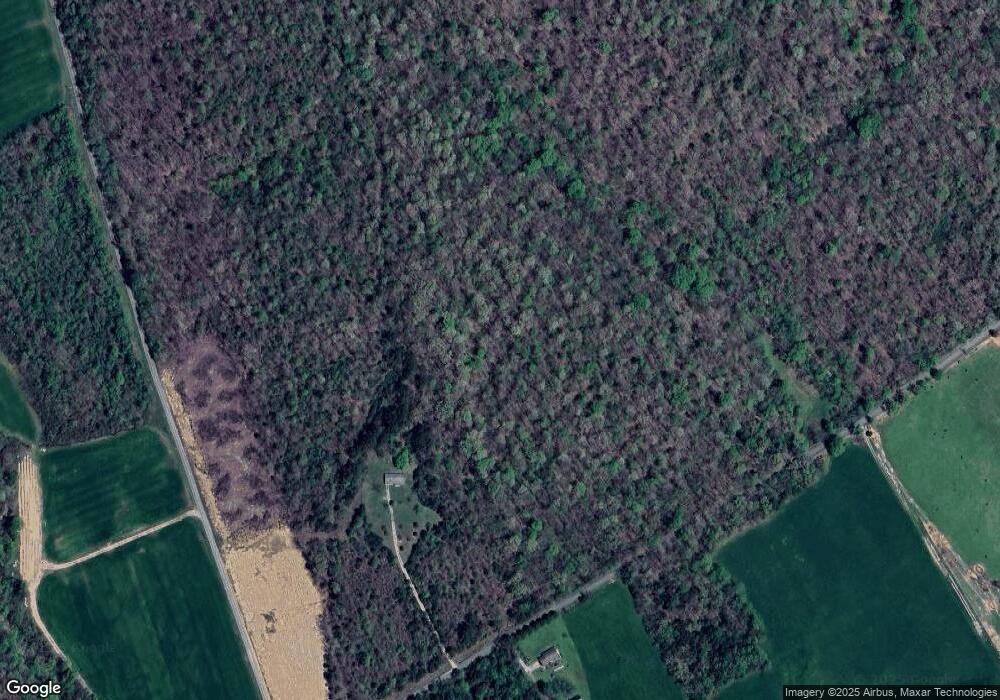
Map
Nearby Homes
- 0 Rustic Valley Dr Unit RTC2887773
- 0 Prince Phillip Ct Unit RTC2825233
- 0 Forrest Crossing Unit 16796966
- 0 Forrest Crossing Unit RTC2657467
- 0 Blackhawk Ct Unit RTC2621595
- 0 Prince Phillip Ct Unit RTC2447764
- 0 W Blue Creek Rd
- 191 Forks River Rd
- 2151 Bakerville Rd
- 1640 Bucket Branch Rd
- 695 Bucket Branch Rd
- 107 W End Dr
- 1825 Highway 13 S
- 4551 Highway 13 S
- 781 Highway 13 S
- 1 Main St W
- 444 Cooley Rd
- 201 Park Cir
- 106 Dupont Ave
- 202 Bowen Heights Dr
- 2754 W Blue Creek Rd
- 2152 Pumpkin Creek Rd
- 2286 W Blue Creek Rd
- 1026 Forks River Rd
- 2122 W Blue Creek Rd
- 432 Horner Ln
- 951 Forks River Rd
- 962 Forks River Rd
- 0 Forrest Crossing Unit 1816772
- 0 Forrest Crossing Unit 1816770
- 0 Blackhawk Ct Unit 1911282
- 0 Prince Phillip Ct Unit 1542851
- 0 Prince Phillip Ct Unit 1542850
- 0 Cleburne Point Unit 1542848
- 0 Prince Phillip Ct Unit 1542849
- 0 Prince Phillip Ct Unit 1607387
- 0 Prince Phillip Ct Unit 1607334
- 0 Prince Phillip Ct Unit 1607318
- 0 Cleburne Point Unit 1606901
- 0 Rocky Top Cove Unit 1589616