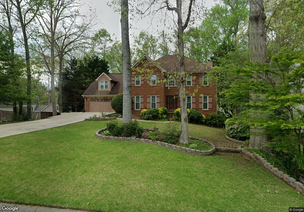
2705 Wynford Ave SW Unit 1 Marietta, GA 30064
West Cobb NeighborhoodEstimated Value: $511,000 - $553,000
7
Beds
4
Baths
3,064
Sq Ft
$174/Sq Ft
Est. Value
About This Home
This home is located at 2705 Wynford Ave SW Unit 1, Marietta, GA 30064 and is currently estimated at $533,680, approximately $174 per square foot. 2705 Wynford Ave SW Unit 1 is a home located in Cobb County with nearby schools including Dowell Elementary School, Lovinggood Middle School, and Hillgrove High School.
Ownership History
Date
Name
Owned For
Owner Type
Purchase Details
Closed on
Jan 2, 2000
Sold by
Wanex Jana S
Bought by
Daniels Pauline E
Current Estimated Value
Home Financials for this Owner
Home Financials are based on the most recent Mortgage that was taken out on this home.
Original Mortgage
$180,405
Interest Rate
7.75%
Mortgage Type
New Conventional
Create a Home Valuation Report for This Property
The Home Valuation Report is an in-depth analysis detailing your home's value as well as a comparison with similar homes in the area
Home Values in the Area
Average Home Value in this Area
Purchase History
| Date | Buyer | Sale Price | Title Company |
|---|---|---|---|
| Daniels Pauline E | $189,900 | -- |
Source: Public Records
Mortgage History
| Date | Status | Borrower | Loan Amount |
|---|---|---|---|
| Previous Owner | Daniels Pauline E | $180,405 |
Source: Public Records
Tax History Compared to Growth
Tax History
| Year | Tax Paid | Tax Assessment Tax Assessment Total Assessment is a certain percentage of the fair market value that is determined by local assessors to be the total taxable value of land and additions on the property. | Land | Improvement |
|---|---|---|---|---|
| 2024 | $1,222 | $251,188 | $34,000 | $217,188 |
| 2023 | $847 | $194,908 | $34,000 | $160,908 |
| 2022 | $905 | $145,192 | $26,000 | $119,192 |
| 2021 | $3,077 | $127,688 | $21,600 | $106,088 |
| 2020 | $2,803 | $115,188 | $21,600 | $93,588 |
| 2019 | $2,803 | $115,188 | $21,600 | $93,588 |
| 2018 | $2,803 | $115,188 | $21,600 | $93,588 |
| 2017 | $2,456 | $103,180 | $21,600 | $81,580 |
| 2016 | $2,461 | $103,180 | $21,600 | $81,580 |
| 2015 | $2,183 | $88,448 | $21,660 | $66,788 |
| 2014 | $2,198 | $88,448 | $0 | $0 |
Source: Public Records
Map
Nearby Homes
- 1234 Wynford Colony SW
- 2866 Wynford Dr SW Unit 2
- 1518 Sage Ridge Dr
- 3006 Coffman Ct SW
- 1237 Wynford Woods SW
- 1209 Wilkes Way SW Unit 1
- 1567 Vine Leaf Dr
- 1311 Bustling Ln SW
- 1765 Dew Place
- 1004 Villa Rica Rd SW
- 2673 Altony Dr SW
- 3001 Ashland Ct SW
- 2418 Southern Oak Dr SW
- 1204 Commonwealth Ave SW
- 3416 N Cook Rd
- 3354 Hannah Ct
- 1884 Dovonshire Rd SW
- 1853 Edington Rd SW
- 2703 Wynford Ave SW
- 2703 Wynford Ave SW Unit 1
- 2707 Wynford Ave SW
- 2891 Wynford Dr SW
- 1342 Wynford Walk SW
- 2704 Wynford Ave SW
- 2890 Wynford Dr SW
- 0 Wynford Walk Unit 7329835
- 0 Wynford Walk Unit 7108348
- 0 Wynford Walk
- 2701 Wynford Ave SW
- 2706 Wynford Ave SW Unit 1
- 1224 Wynford Colony SW
- 2708 Wynford Ave SW
- 1344 Wynford Walk SW
- 3185 Wynford Dr
- 1220 Wynford Colony SW
- 2889 Wynford Dr SW
- 2709 Wynford Ave SW
- 2888 Wynford Dr SW