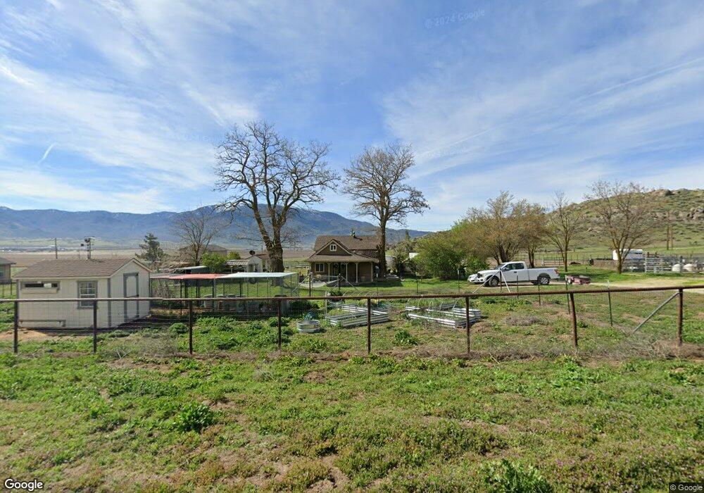
27050 Assault Dr Tehachapi, CA 93561
Estimated Value: $226,000 - $301,000
3
Beds
1
Bath
834
Sq Ft
$305/Sq Ft
Est. Value
About This Home
This home is located at 27050 Assault Dr, Tehachapi, CA 93561 and is currently estimated at $254,300, approximately $304 per square foot. 27050 Assault Dr is a home located in Kern County with nearby schools including Cummings Valley Elementary School, Jacobsen Middle School, and Tehachapi High School.
Ownership History
Date
Name
Owned For
Owner Type
Purchase Details
Closed on
Apr 22, 2009
Sold by
Deutsche Bank National Trust Company
Bought by
Havlik Fred T and Havlik Janice L
Current Estimated Value
Purchase Details
Closed on
Apr 24, 2008
Sold by
Hinkle James William
Bought by
Deutsche Bank National Trust Co
Purchase Details
Closed on
Oct 3, 2005
Sold by
Kuegeler Wilhelm and Kuegeler Ana Maria
Bought by
Hinkle James William
Home Financials for this Owner
Home Financials are based on the most recent Mortgage that was taken out on this home.
Original Mortgage
$50,000
Interest Rate
6.36%
Mortgage Type
Stand Alone Second
Create a Home Valuation Report for This Property
The Home Valuation Report is an in-depth analysis detailing your home's value as well as a comparison with similar homes in the area
Home Values in the Area
Average Home Value in this Area
Purchase History
| Date | Buyer | Sale Price | Title Company |
|---|---|---|---|
| Havlik Fred T | $103,000 | Placer Title Company | |
| Deutsche Bank National Trust Co | $184,000 | Accommodation | |
| Hinkle James William | $250,000 | Public |
Source: Public Records
Mortgage History
| Date | Status | Borrower | Loan Amount |
|---|---|---|---|
| Previous Owner | Hinkle James William | $50,000 |
Source: Public Records
Tax History
| Year | Tax Paid | Tax Assessment Tax Assessment Total Assessment is a certain percentage of the fair market value that is determined by local assessors to be the total taxable value of land and additions on the property. | Land | Improvement |
|---|---|---|---|---|
| 2025 | $1,690 | $132,620 | $38,623 | $93,997 |
| 2024 | $1,629 | $130,020 | $37,866 | $92,154 |
| 2023 | $1,629 | $127,472 | $37,124 | $90,348 |
| 2022 | $1,608 | $124,974 | $36,397 | $88,577 |
| 2021 | $1,563 | $122,525 | $35,684 | $86,841 |
| 2020 | $1,557 | $121,270 | $35,319 | $85,951 |
| 2019 | $1,557 | $121,270 | $35,319 | $85,951 |
| 2018 | $1,503 | $116,563 | $33,949 | $82,614 |
| 2017 | $1,502 | $114,279 | $33,284 | $80,995 |
| 2016 | $1,463 | $112,039 | $32,632 | $79,407 |
| 2015 | $1,394 | $110,357 | $32,142 | $78,215 |
| 2014 | $1,379 | $108,196 | $31,513 | $76,683 |
Source: Public Records
Map
Nearby Homes
- 0 Vl 448-051-41 Unit 25003065
- 0 Vl 448-051-42 Unit 25003066
- 10 Assault Dr
- 27450 Harness Dr
- 26852 Trotter Dr
- 21900 Horizon Ct
- 0 Vl 313-262-06 Unit 25006695
- 21900 Cottonwood Ct
- 0 Big Sky Ct
- 22401 Saddleback Dr
- 22481 Saddleback Dr
- 0 Skyline Dr Unit 9990016
- 0 Skyline Dr Unit 25885685
- 0 Skyline Dr Unit 9992737
- 22980 San Juan Dr
- 0 Buckthorne Ct
- 0 Cumberland Unit 9984468
- 0 Cumberland Unit 9993625
- 0 Shenandoah Place
- 21751 Buckthorne Ct
- 21041 Castle Gate Dr
- 21101 Castle Gate Dr
- 0 Giraudo Rd Unit 9969361
- 0 Giraudo Rd Unit 9970913
- 0 Giraudo Rd Unit 9973424
- 0 Giraudo Rd Unit 9977310
- 0 Giraudo Rd Unit 9983112
- 0 Giraudo Rd Unit 9983888
- 0 Giraudo Rd Unit 1300728
- 0 Giraudo Rd Unit 1304785
- 0 Giraudo Rd Unit 1312652
- 0 Giraudo Rd Unit V1-10592
- 0 Giraudo Rd Unit LOT 29 9979845
- 0 Giraudo Rd
- 27100 Assault Dr
- 11 Assault Dr
- 21050 Mount Place
- 0 Castle Gate Lot 7
- 27250 Assault Dr
- 0 Castle Gate Dr Unit 9991493
Your Personal Tour Guide
Ask me questions while you tour the home.