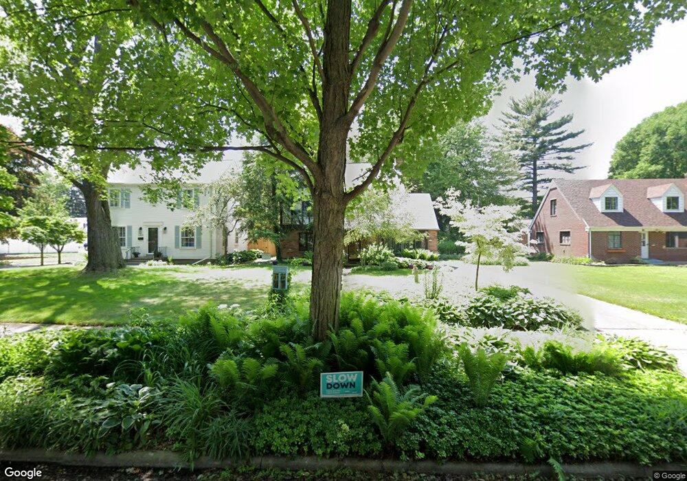
2707 Densmore Dr Toledo, OH 43606
Ottawa NeighborhoodEstimated Value: $238,000 - $285,000
3
Beds
3
Baths
1,765
Sq Ft
$149/Sq Ft
Est. Value
About This Home
This home is located at 2707 Densmore Dr, Toledo, OH 43606 and is currently estimated at $262,104, approximately $148 per square foot. 2707 Densmore Dr is a home located in Lucas County with nearby schools including Old Orchard Elementary School, Start High School, and Central Academy Of Ohio.
Ownership History
Date
Name
Owned For
Owner Type
Purchase Details
Closed on
May 7, 2004
Sold by
Stein Joan E and Baker Chad R
Bought by
Meyer Heather I
Current Estimated Value
Home Financials for this Owner
Home Financials are based on the most recent Mortgage that was taken out on this home.
Original Mortgage
$151,500
Interest Rate
5.85%
Mortgage Type
Balloon
Purchase Details
Closed on
Aug 21, 1998
Sold by
Stein Richard G
Bought by
Stein Joan E
Purchase Details
Closed on
Oct 4, 1990
Sold by
Janicki Thomas M
Create a Home Valuation Report for This Property
The Home Valuation Report is an in-depth analysis detailing your home's value as well as a comparison with similar homes in the area
Home Values in the Area
Average Home Value in this Area
Purchase History
| Date | Buyer | Sale Price | Title Company |
|---|---|---|---|
| Meyer Heather I | $191,500 | Louisville Title Agency For | |
| Stein Joan E | -- | -- | |
| -- | $130,000 | -- |
Source: Public Records
Mortgage History
| Date | Status | Borrower | Loan Amount |
|---|---|---|---|
| Closed | Meyer Heather I | $151,500 |
Source: Public Records
Tax History
| Year | Tax Paid | Tax Assessment Tax Assessment Total Assessment is a certain percentage of the fair market value that is determined by local assessors to be the total taxable value of land and additions on the property. | Land | Improvement |
|---|---|---|---|---|
| 2025 | -- | $72,135 | $11,725 | $60,410 |
| 2024 | $2,179 | $72,135 | $11,725 | $60,410 |
| 2023 | $3,825 | $60,515 | $11,550 | $48,965 |
| 2022 | $3,831 | $60,515 | $11,550 | $48,965 |
| 2021 | $3,927 | $60,515 | $11,550 | $48,965 |
| 2020 | $3,656 | $49,665 | $9,485 | $40,180 |
| 2019 | $3,559 | $49,665 | $9,485 | $40,180 |
| 2018 | $3,563 | $49,665 | $9,485 | $40,180 |
| 2017 | $3,570 | $47,215 | $10,535 | $36,680 |
| 2016 | $3,556 | $134,900 | $30,100 | $104,800 |
| 2015 | $3,520 | $134,900 | $30,100 | $104,800 |
| 2014 | $2,970 | $47,220 | $10,540 | $36,680 |
| 2013 | $2,970 | $47,220 | $10,540 | $36,680 |
Source: Public Records
Map
Nearby Homes
- 3456 Gallatin Rd
- 2509 Meadowwood Dr
- 3010 W Central Ave Unit 105
- 3010 W Central Ave
- 2702 Goddard Rd
- 2804 Goddard Rd
- 2850 Kenwood Blvd
- 2356 Secor Rd
- 2714 Evergreen Rd
- 2410 Drummond Rd
- 2904 Isha Laye Way
- 3175 Cheltenham Rd
- 3127 Evergreen Rd
- 2360 Cheltenham Rd
- 3305 W Bancroft St
- 3433 Goddard Rd
- 3155 Kylemore Rd
- 3205 Kylemore Rd
- 3446 Stanhope Dr
- 4302 Monroe St
- 2703 Densmore Dr
- 2715 Densmore Dr
- 2723 Densmore Dr
- 2710 Secor Rd
- 2704 Secor Rd
- 2673 Densmore Dr
- 2718 Secor Rd
- 2731 Densmore Dr
- 2708 Densmore Dr
- 2716 Densmore Dr
- 2704 Densmore Dr
- 2667 Densmore Dr
- 2674 Secor Rd
- 2728 Secor Rd
- 2722 Densmore Dr
- 3625 Christie St
- 3660 Christie St
- 2674 Densmore Dr
- 2663 Densmore Dr
- 2661 Densmore Dr
Your Personal Tour Guide
Ask me questions while you tour the home.