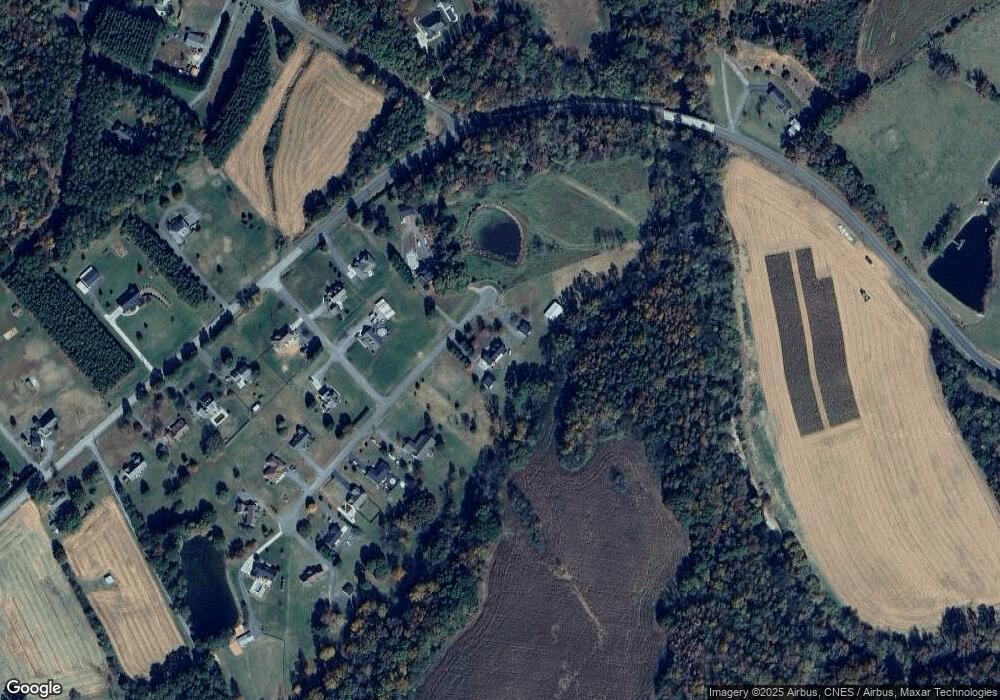
27074 Crepts Branch Rd Locust, NC 28097
Estimated Value: $542,000
5
Beds
3
Baths
3,729
Sq Ft
$145/Sq Ft
Est. Value
About This Home
This home is located at 27074 Crepts Branch Rd, Locust, NC 28097 and is currently priced at $542,000, approximately $145 per square foot. 27074 Crepts Branch Rd is a home located in Stanly County with nearby schools including Locust Elementary School, West Stanly Middle School, and West Stanly High School.
Ownership History
Date
Name
Owned For
Owner Type
Purchase Details
Closed on
Jan 16, 2021
Sold by
Vaughn Paula J and Vaughn Richard E
Bought by
Padgett Danny and Supe Deborah A
Current Estimated Value
Purchase Details
Closed on
Jan 24, 2020
Sold by
Vaughn Paula J and Vaughn Richard E
Bought by
Bennett Robert Michael and Bennett Sonya Palmer
Home Financials for this Owner
Home Financials are based on the most recent Mortgage that was taken out on this home.
Original Mortgage
$326,800
Interest Rate
3.73%
Mortgage Type
New Conventional
Purchase Details
Closed on
Jul 16, 2018
Sold by
Vaughn Paula J and Vaughn Richard E
Bought by
Vaughn Paula J and Vaughn Richard E
Purchase Details
Closed on
Oct 2, 2012
Sold by
Vaughn Richard E and Vaughn Paula J
Bought by
Vaughn Paula J
Create a Home Valuation Report for This Property
The Home Valuation Report is an in-depth analysis detailing your home's value as well as a comparison with similar homes in the area
Home Values in the Area
Average Home Value in this Area
Purchase History
| Date | Buyer | Sale Price | Title Company |
|---|---|---|---|
| Padgett Danny | $50,000 | None Available | |
| Bennett Robert Michael | $344,000 | None Available | |
| Vaughn Paula J | -- | None Available | |
| Vaughn Paula J | -- | None Available |
Source: Public Records
Mortgage History
| Date | Status | Borrower | Loan Amount |
|---|---|---|---|
| Previous Owner | Bennett Robert Michael | $326,800 |
Source: Public Records
Tax History Compared to Growth
Tax History
| Year | Tax Paid | Tax Assessment Tax Assessment Total Assessment is a certain percentage of the fair market value that is determined by local assessors to be the total taxable value of land and additions on the property. | Land | Improvement |
|---|---|---|---|---|
| 2021 | $3,243 | $464,882 | $79,885 | $384,997 |
| 2020 | $3,200 | $410,207 | $71,120 | $339,087 |
| 2019 | $3,227 | $417,957 | $78,870 | $339,087 |
| 2018 | $3,316 | $425,097 | $86,010 | $339,087 |
| 2017 | $3,316 | $425,097 | $86,010 | $339,087 |
| 2016 | $3,121 | $406,506 | $80,145 | $326,361 |
| 2015 | $3,121 | $406,506 | $80,145 | $326,361 |
| 2014 | $2,925 | $406,506 | $80,145 | $326,361 |
Source: Public Records
Map
Nearby Homes
- 00 Millingport Rd Unit 1
- 00 Millingport Rd Unit 3
- 27040 Crepts Branch Rd
- Lot 6 Flint Ridge Rd Unit 6
- 21035 Old Mill Rd
- 17427 Purser Dr
- 26565 Red Barn Trail
- 03 Ramsey Rd
- 24924 Birdhouse Ln Unit 2
- 24910 Birdhouse Ln
- 24910 Birdhouse Ln Unit 1
- 20420 Ridgecrest Rd
- 20673 Sam Rd
- 24501 Canton Rd
- 34568 Glory Hills Dr Unit Glory Hills Estates
- 25683 April Ln
- 21056 Running Creek Dr
- 21063 Running Creek Dr
- 21048 Running Creek Dr
- 21040 Running Creek Dr
- 27028 Crepts Branch Rd
- 27081 Crepts Branch Rd
- 20231 Bear Creek Place
- 20234 Bear Creek Place
- 20215 Bear Creek Place
- 27024 Crepts Branch Rd
- 00 Millingport Rd
- 000 Millingport Rd
- 27023 Crepts Branch Rd
- 25506 Millingport Rd
- 21035 Millingport Rd
- 27010 Crepts Branch Rd
- 57 Ac Millingport Rd
- 25494 Millingport Rd
- 27011 Crepts Branch Rd
- 25536 Millingport Rd
- 27004 Crepts Branch Rd
- 25482 Millingport Rd
- 27005 Crepts Branch Rd
- 00000 Flint Ridge Rd
