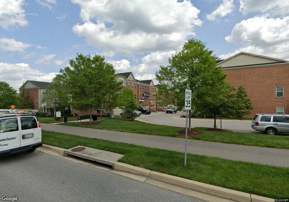
2708 Amber Crest Rd Hanover, MD 21076
Estimated Value: $466,000 - $524,000
Studio
2
Baths
1,892
Sq Ft
$263/Sq Ft
Est. Value
About This Home
This home is located at 2708 Amber Crest Rd, Hanover, MD 21076 and is currently estimated at $498,150, approximately $263 per square foot. 2708 Amber Crest Rd is a home located in Anne Arundel County with nearby schools including Hebron-Harman Elementary School, MacArthur Middle School, and Meade High School.
Ownership History
Date
Name
Owned For
Owner Type
Purchase Details
Closed on
Mar 28, 2013
Sold by
M I Homes Of Dc Llc
Bought by
Brodie Maurice D
Current Estimated Value
Home Financials for this Owner
Home Financials are based on the most recent Mortgage that was taken out on this home.
Original Mortgage
$299,950
Outstanding Balance
$212,489
Interest Rate
3.55%
Mortgage Type
New Conventional
Estimated Equity
$285,661
Create a Home Valuation Report for This Property
The Home Valuation Report is an in-depth analysis detailing your home's value as well as a comparison with similar homes in the area
Home Values in the Area
Average Home Value in this Area
Purchase History
| Date | Buyer | Sale Price | Title Company |
|---|---|---|---|
| Brodie Maurice D | $374,990 | None Available |
Source: Public Records
Mortgage History
| Date | Status | Borrower | Loan Amount |
|---|---|---|---|
| Open | Brodie Maurice D | $299,950 |
Source: Public Records
Tax History
| Year | Tax Paid | Tax Assessment Tax Assessment Total Assessment is a certain percentage of the fair market value that is determined by local assessors to be the total taxable value of land and additions on the property. | Land | Improvement |
|---|---|---|---|---|
| 2025 | $4,788 | $429,400 | $120,000 | $309,400 |
| 2024 | $4,788 | $412,733 | $0 | $0 |
| 2023 | $4,655 | $396,067 | $0 | $0 |
| 2022 | $3,965 | $379,400 | $120,000 | $259,400 |
| 2020 | $4,303 | $379,400 | $120,000 | $259,400 |
| 2019 | $8,473 | $397,800 | $160,000 | $237,800 |
| 2018 | $3,899 | $384,533 | $0 | $0 |
| 2017 | $4,060 | $371,267 | $0 | $0 |
| 2016 | -- | $358,000 | $0 | $0 |
| 2015 | -- | $353,100 | $0 | $0 |
| 2014 | -- | $348,200 | $0 | $0 |
Source: Public Records
Map
Nearby Homes
- 7810 Clark Rd Unit D-64
- 7810 Clark Rd Unit D91
- 7810 Clark Rd Unit D88
- 7617 Elmcrest Rd
- 2284 Brimstone Place
- 2854 Brewers Crossing Way Unit 1
- 2816 Brewers Crossing Way
- 2812 Brewers Crossing Way Unit 43
- 2918 Middleham Ct
- 2914 Middleham Ct
- 1705 Wolcott Way
- 7818 Metacomet Rd
- 7725 Duncannon Ln
- 7729 Duncannon Ln
- 7652 Telamon Way
- 2932 Hebron Ln
- 1917 Pometacom Dr
- 7740 Rotherham Dr
- 7839 Patterson Way
- 2007 Twisted Oak Place
- 2706 Amber Crest Rd
- 2710 Amber Crest Rd
- 2704 Amber Crest Rd
- 2712 Amber Crest Rd
- 2702 Amber Crest Rd
- 2714 Amber Crest Rd
- 7861 Crystal Brook Way
- 7863 Crystal Brook Way
- 2716 Amber Crest Rd
- 7859 Crystal Brook Way
- 7857 Crystal Brook Way
- 7869 Crystal Brook Way
- 7867 Crystal Brook Way
- 2707 Amber Crest Rd
- 2709 Amber Crest Rd
- 2711 Amber Crest Rd
- 2705 Amber Crest Rd
- 2713 Amber Crest Rd
- 2703 Amber Crest Rd
- 7871 Crystal Brook Way
Your Personal Tour Guide
Ask me questions while you tour the home.