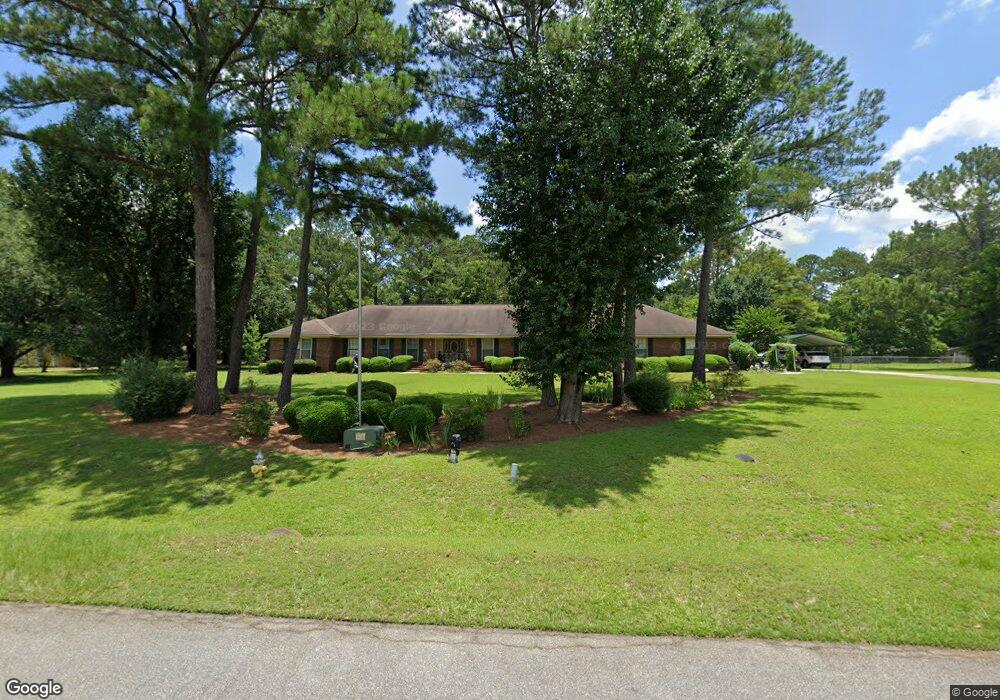
2708 Brittany Rd Albany, GA 31721
Estimated Value: $236,000 - $377,351
4
Beds
4
Baths
3,798
Sq Ft
$88/Sq Ft
Est. Value
About This Home
This home is located at 2708 Brittany Rd, Albany, GA 31721 and is currently estimated at $332,838, approximately $87 per square foot. 2708 Brittany Rd is a home located in Dougherty County with nearby schools including Live Oak Elementary School, Merry Acres Middle School, and Westover High School.
Ownership History
Date
Name
Owned For
Owner Type
Purchase Details
Closed on
Aug 20, 2004
Sold by
Henderson Katy
Bought by
Henderson Philip Franklin
Current Estimated Value
Purchase Details
Closed on
Jun 10, 2002
Sold by
Meadows Albert C
Bought by
Henderson Philip and Henderson Katy
Purchase Details
Closed on
Jan 21, 1985
Sold by
Holyard Paul
Bought by
Meadows Albert C
Create a Home Valuation Report for This Property
The Home Valuation Report is an in-depth analysis detailing your home's value as well as a comparison with similar homes in the area
Home Values in the Area
Average Home Value in this Area
Purchase History
| Date | Buyer | Sale Price | Title Company |
|---|---|---|---|
| Henderson Philip Franklin | -- | -- | |
| Henderson Philip | $220,000 | -- | |
| Meadows Albert C | $67,000 | -- |
Source: Public Records
Tax History Compared to Growth
Tax History
| Year | Tax Paid | Tax Assessment Tax Assessment Total Assessment is a certain percentage of the fair market value that is determined by local assessors to be the total taxable value of land and additions on the property. | Land | Improvement |
|---|---|---|---|---|
| 2024 | $5,147 | $109,880 | $24,000 | $85,880 |
| 2023 | $4,188 | $109,880 | $24,000 | $85,880 |
| 2022 | $5,045 | $109,880 | $24,000 | $85,880 |
| 2021 | $4,677 | $109,880 | $24,000 | $85,880 |
| 2020 | $4,297 | $118,680 | $24,000 | $94,680 |
| 2019 | $5,090 | $118,680 | $24,000 | $94,680 |
| 2018 | $5,111 | $118,680 | $24,000 | $94,680 |
| 2017 | $4,761 | $118,680 | $24,000 | $94,680 |
| 2016 | $4,764 | $118,680 | $24,000 | $94,680 |
| 2015 | $4,777 | $118,680 | $24,000 | $94,680 |
| 2014 | $4,562 | $114,840 | $20,160 | $94,680 |
Source: Public Records
Map
Nearby Homes
- 3408 Forest Ridge Dr
- 134 Hollister Dr
- 171 Hollister Dr
- 2600 Shannon Rd
- 2732 Dover Ln
- 2738 Dover Ln
- 127 Cambridge Rd
- 3101 Old Dawson Rd
- 112 Berkeley Rd
- N/A N Doublegate Dr
- 2527 Brookhaven Ct
- 2511 Wexford Dr
- 2509 E Alberson Dr
- 316 N Doublegate Dr
- 2707 Somerset Dr
- 2507 Wexford Dr
- 150 Hugh Rd
- 3203 Wexford Dr
- 2715 N Doublegate Dr
- 274 N Doublegate Dr
- 2712 Brittany Rd
- 3405 Forest Ridge Dr
- 2706 Brittany Rd
- 3403 Forest Ridge Dr
- 2709 Brittany Rd
- 2714 Brittany Rd
- 2704 Brittany Rd
- 2711 Brittany Rd
- 3411 Forest Ridge Dr
- 3401 Forest Ridge Dr
- 2713 Brittany Rd
- 3413 Forest Ridge Dr
- 2627 Lansing Dr
- 3404 Forest Ridge Dr
- 2716 Brittany Rd
- 2705 Brittany Rd
- 2715 Brittany Rd
- 2702 Brittany Rd
- 3402 Forest Ridge Dr
- 3406 Forest Ridge Dr