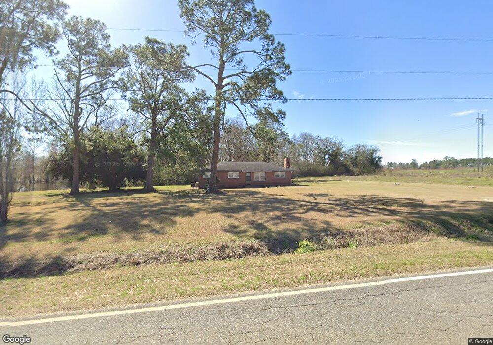
2709 Harmony Rd SE Pelham, GA 31779
Estimated Value: $141,656 - $195,000
3
Beds
2
Baths
1,880
Sq Ft
$89/Sq Ft
Est. Value
About This Home
This home is located at 2709 Harmony Rd SE, Pelham, GA 31779 and is currently estimated at $166,914, approximately $88 per square foot. 2709 Harmony Rd SE is a home located in Mitchell County with nearby schools including Mitchell County Primary School, Mitchell County Elementary School, and Mitchell County Middle School.
Ownership History
Date
Name
Owned For
Owner Type
Purchase Details
Closed on
Feb 8, 2023
Sold by
Fenn Van K
Bought by
Choates Torrance D
Current Estimated Value
Home Financials for this Owner
Home Financials are based on the most recent Mortgage that was taken out on this home.
Original Mortgage
$72,000
Outstanding Balance
$63,429
Interest Rate
5.52%
Mortgage Type
New Conventional
Estimated Equity
$103,485
Create a Home Valuation Report for This Property
The Home Valuation Report is an in-depth analysis detailing your home's value as well as a comparison with similar homes in the area
Home Values in the Area
Average Home Value in this Area
Purchase History
| Date | Buyer | Sale Price | Title Company |
|---|---|---|---|
| Choates Torrance D | $90,000 | -- |
Source: Public Records
Mortgage History
| Date | Status | Borrower | Loan Amount |
|---|---|---|---|
| Open | Choates Torrance D | $72,000 |
Source: Public Records
Tax History Compared to Growth
Tax History
| Year | Tax Paid | Tax Assessment Tax Assessment Total Assessment is a certain percentage of the fair market value that is determined by local assessors to be the total taxable value of land and additions on the property. | Land | Improvement |
|---|---|---|---|---|
| 2024 | $1,845 | $52,649 | $4,360 | $48,289 |
| 2023 | $1,897 | $51,649 | $4,360 | $47,289 |
| 2022 | $1,398 | $40,169 | $4,360 | $35,809 |
| 2021 | $1,310 | $34,769 | $4,120 | $30,649 |
| 2020 | $1,310 | $34,769 | $4,120 | $30,649 |
| 2019 | $1,304 | $34,769 | $4,120 | $30,649 |
| 2018 | $1,266 | $34,769 | $4,120 | $30,649 |
| 2017 | $1,325 | $34,064 | $4,146 | $29,918 |
| 2016 | $1,162 | $34,063 | $4,146 | $29,918 |
| 2015 | $1,162 | $34,063 | $4,146 | $29,918 |
| 2014 | $1,162 | $34,063 | $4,146 | $29,918 |
| 2013 | $1,162 | $32,795 | $2,878 | $29,917 |
Source: Public Records
Map
Nearby Homes
- 1181 U S 19
- 1197 U S 19
- 00 Laverne Ln
- 547 Cotton Rd NE
- 375 Baggs Ave SE
- 482 Curry St NE
- 438 Dogwood Dr NE
- 1168 Mitchell Road (112 Acres)
- 335 Curry St NE
- 323 Curry St NE
- 183 Baggs Ave SE
- 3** Youngs Mill Rd
- 831 Cottonwood Rd
- 199 Carroll St NE
- 135 Baggs Ave SE
- 1168 Mitchell Rd
- 209 McDonald St SW
- 212 Hand Ave W
- 210 Castleberry St NW
- 233 Cannon St NW
- 2725 Harmony Rd SE
- 2724 Harmony Rd SE
- 2760 Harmony Rd SE
- 2821 Harmony Rd SE
- 2610 Harmony Rd SE
- 2851 Harmony Rd SE
- 2849 Harmony Rd SE
- 2470 Harmony Rd SE
- 2943 Harmony Rd SE
- 2259 Harmony Rd SE
- 2989 Harmony Rd SE
- 2994 Harmony Rd SE
- 3008 Harmony Rd SE
- 2199 Harmony Rd SE
- 1502 Us Highway 19 SE
- 1316 Us Highway 19
- 3021 Harmony Rd SE
- 1424 Us Highway 19
- 2051 Harmony Rd SE
- 3022 Harmony Rd SE