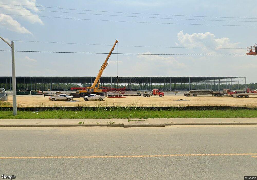
271 Benton Rd Suffolk, VA 23434
Holy Neck NeighborhoodEstimated Value: $4,376,362
Studio
--
Bath
4,800
Sq Ft
$912/Sq Ft
Est. Value
About This Home
This home is located at 271 Benton Rd, Suffolk, VA 23434 and is currently priced at $4,376,362, approximately $911 per square foot. 271 Benton Rd is a home located in Suffolk City with nearby schools including Kilby Shores Elementary School, Forest Glen Middle School, and Lakeland High School.
Ownership History
Date
Name
Owned For
Owner Type
Purchase Details
Closed on
Oct 24, 2024
Sold by
Suffolk Benton Llc
Bought by
Suffolk Benton Industrial Llc
Current Estimated Value
Home Financials for this Owner
Home Financials are based on the most recent Mortgage that was taken out on this home.
Original Mortgage
$74,000,000
Outstanding Balance
$72,950,202
Interest Rate
6.08%
Mortgage Type
Credit Line Revolving
Purchase Details
Closed on
Jun 16, 2021
Sold by
Br Land Lc
Bought by
Suffolk Benton Llc
Create a Home Valuation Report for This Property
The Home Valuation Report is an in-depth analysis detailing your home's value as well as a comparison with similar homes in the area
Home Values in the Area
Average Home Value in this Area
Purchase History
| Date | Buyer | Sale Price | Title Company |
|---|---|---|---|
| Suffolk Benton Industrial Llc | -- | First American Title | |
| Suffolk Benton Llc | $3,548,307 | Attorney |
Source: Public Records
Mortgage History
| Date | Status | Borrower | Loan Amount |
|---|---|---|---|
| Open | Suffolk Benton Industrial Llc | $74,000,000 |
Source: Public Records
Tax History
| Year | Tax Paid | Tax Assessment Tax Assessment Total Assessment is a certain percentage of the fair market value that is determined by local assessors to be the total taxable value of land and additions on the property. | Land | Improvement |
|---|---|---|---|---|
| 2025 | $1,153,828 | $101,660,600 | $3,944,600 | $97,716,000 |
| 2024 | $1,153,828 | $99,158,300 | $3,944,600 | $95,213,700 |
| 2023 | $1,061,084 | $3,944,600 | $3,944,600 | $0 |
| 2022 | $801 | $924,700 | $924,700 | $0 |
| 2021 | $803 | $72,300 | $72,300 | $0 |
| 2020 | $938 | $924,700 | $924,700 | $0 |
| 2019 | $992 | $924,700 | $924,700 | $0 |
| 2018 | $774 | $924,700 | $924,700 | $0 |
| 2017 | $733 | $924,700 | $924,700 | $0 |
| 2016 | $744 | $69,500 | $69,500 | $0 |
| 2015 | $208 | $72,400 | $72,400 | $0 |
| 2014 | $208 | $57,700 | $57,700 | $0 |
Source: Public Records
Map
Nearby Homes
- 29-57 Suffolk St
- MM Everest
- MM Charleston Expy
- .40-AC Holland Rd
- MM Hawthorne
- MM Ravello Dr
- .23 AC Nansemond Pkwy
- 768 Carolina Rd
- 1204 Brianna (Lot 32) Ln
- 315 Greenfield Crescent
- 711 Brook Ave
- 730 Brook Ave
- LOT 18 Brook Ave
- 721 Ashley Ave Unit A
- 608 Battery Ave
- 532 Battery Ave
- MM Hill Point Farms (Davidson)
- 15 Acres Cypress Chapel Rd
- 45.5 Acres Cypress Chapel Rd
- 6022 Sam Callis Cir
- 276 Benton Rd
- 278 Benton Rd
- 272 Benton Rd
- 200 Judkins Ct
- 280 Benton Rd
- MM the Landon at Patriots Walke
- 301 Benton Rd
- 305 Benton Rd
- 309 Benton Rd
- 257 Benton Rd
- 110 Judkins Ct
- 260 Benton Rd
- 311 Benton Rd
- 240 Benton Rd
- 201 Benton Rd
- 315 Benton Rd
- 119 Benton Rd
- 725 Carolina Rd
- 317 Benton Rd
- 317 Benton Rd
Your Personal Tour Guide
Ask me questions while you tour the home.