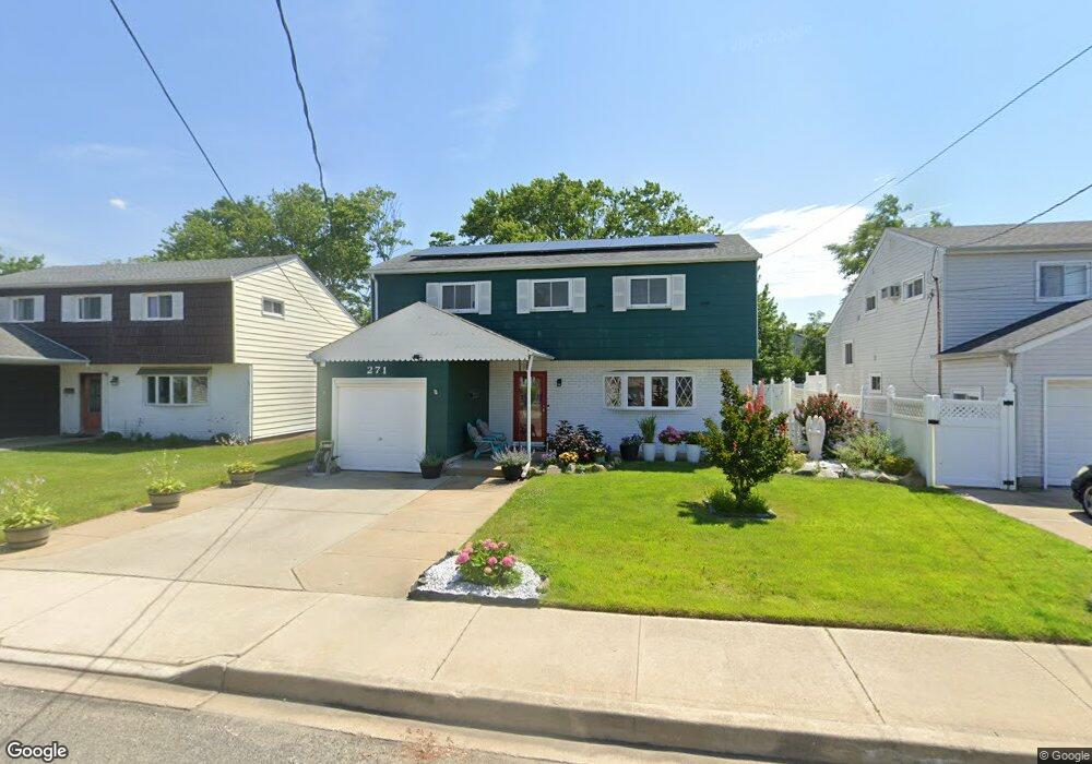
271 Branch Ave Freeport, NY 11520
Estimated Value: $619,372 - $662,000
3
Beds
2
Baths
1,413
Sq Ft
$453/Sq Ft
Est. Value
About This Home
This home is located at 271 Branch Ave, Freeport, NY 11520 and is currently estimated at $640,686, approximately $453 per square foot. 271 Branch Ave is a home located in Nassau County with nearby schools including Columbus Avenue School, Caroline G. Atkinson Intermediate School, and John W Dodd Middle School.
Ownership History
Date
Name
Owned For
Owner Type
Purchase Details
Closed on
Feb 19, 2021
Sold by
Dohm Eric
Bought by
Markowski Jon and Markowski Cynthia
Current Estimated Value
Home Financials for this Owner
Home Financials are based on the most recent Mortgage that was taken out on this home.
Original Mortgage
$432,250
Outstanding Balance
$386,800
Interest Rate
2.73%
Mortgage Type
New Conventional
Estimated Equity
$253,886
Create a Home Valuation Report for This Property
The Home Valuation Report is an in-depth analysis detailing your home's value as well as a comparison with similar homes in the area
Home Values in the Area
Average Home Value in this Area
Purchase History
| Date | Buyer | Sale Price | Title Company |
|---|---|---|---|
| Markowski Jon | $455,000 | Judicial Title |
Source: Public Records
Mortgage History
| Date | Status | Borrower | Loan Amount |
|---|---|---|---|
| Open | Markowski Jon | $432,250 |
Source: Public Records
Tax History
| Year | Tax Paid | Tax Assessment Tax Assessment Total Assessment is a certain percentage of the fair market value that is determined by local assessors to be the total taxable value of land and additions on the property. | Land | Improvement |
|---|---|---|---|---|
| 2025 | $7,719 | $358 | $133 | $225 |
| 2024 | $747 | $358 | $133 | $225 |
Source: Public Records
Map
Nearby Homes
- 300 Branch Ave
- 711 S Bayview Ave
- 51 Irving Ave
- 292 Westside Ave
- 55 Lester Ave
- 49 Lester Ave
- 587 S Bayview Ave
- 226 Westside Ave Unit B
- 572 S Bayview Ave
- 28 Florence Ave
- 8 Florence Ave Unit 16C
- 210 Westend Ave Unit 8B
- 210 Westend Ave Unit 8A
- 160 Saint Marks Ave
- 744 S Long Beach Ave
- 12 Florence Ave Unit 29A
- 1137 Northern Blvd
- 14 Florence Ave Unit 25B
- 77 Hampton Place
- 1108 Washington Place
- 267 Branch Ave
- 279 Branch Ave
- 312 Saint Marks Ave
- 263 Branch Ave
- 285 Branch Ave
- 304 Saint Marks Ave
- 318 Saint Marks Ave
- 270 Branch Ave
- 322 Saint Marks Ave
- 280 Branch Ave
- 300 Saint Marks Ave
- 259 Branch Ave
- 293 Branch Ave
- 328 Saint Marks Ave
- 296 Saint Marks Ave
- 255 Branch Ave
- 258 Branch Ave
- 297 Branch Ave
- 685 S Bayview Ave
- 334 Saint Marks Ave
Your Personal Tour Guide
Ask me questions while you tour the home.