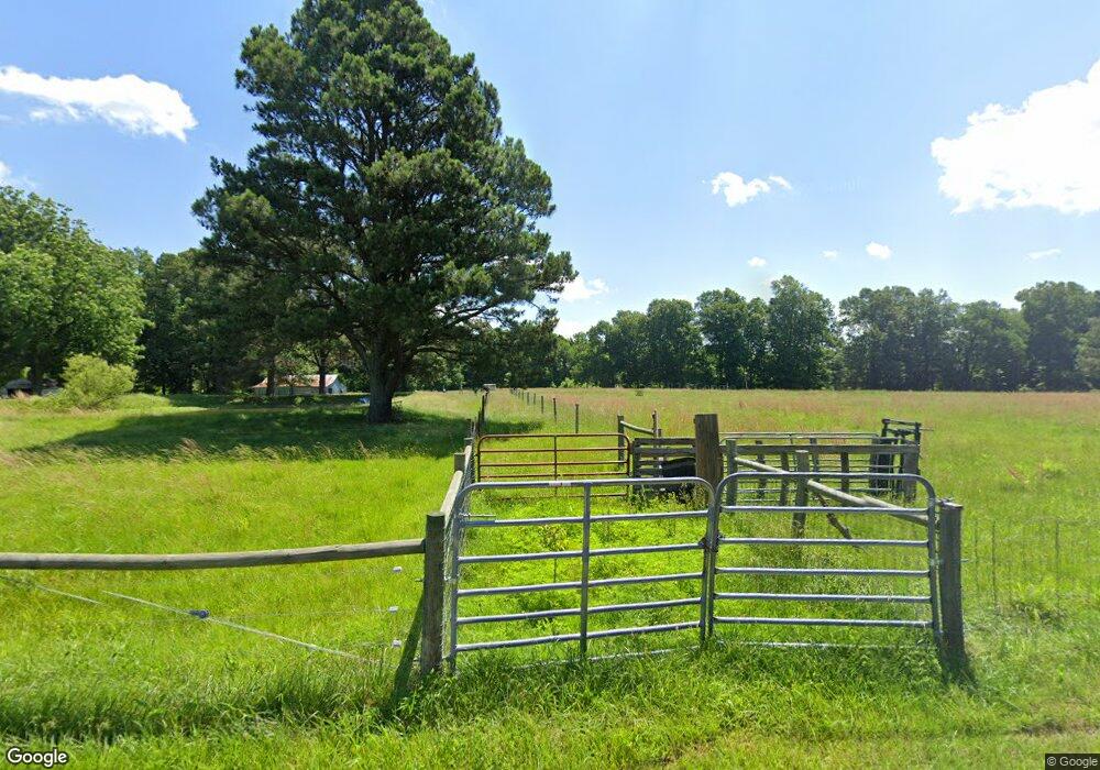
271 Donoho Rd Martin, TN 38237
Estimated Value: $126,217 - $172,000
--
Bed
1
Bath
1,324
Sq Ft
$115/Sq Ft
Est. Value
About This Home
This home is located at 271 Donoho Rd, Martin, TN 38237 and is currently estimated at $151,804, approximately $114 per square foot. 271 Donoho Rd is a home located in Weakley County.
Ownership History
Date
Name
Owned For
Owner Type
Purchase Details
Closed on
Aug 18, 2017
Sold by
Pollard Susan and Judkins James Paul
Bought by
Buttery Brad and Buttrey Emalee
Current Estimated Value
Home Financials for this Owner
Home Financials are based on the most recent Mortgage that was taken out on this home.
Original Mortgage
$71,992
Outstanding Balance
$60,072
Interest Rate
3.96%
Mortgage Type
Unknown
Estimated Equity
$91,732
Purchase Details
Closed on
Apr 2, 2009
Sold by
Jones Betty J
Bought by
Pollard Susan
Create a Home Valuation Report for This Property
The Home Valuation Report is an in-depth analysis detailing your home's value as well as a comparison with similar homes in the area
Home Values in the Area
Average Home Value in this Area
Purchase History
| Date | Buyer | Sale Price | Title Company |
|---|---|---|---|
| Buttery Brad | $80,000 | None Available | |
| Pollard Susan | -- | -- |
Source: Public Records
Mortgage History
| Date | Status | Borrower | Loan Amount |
|---|---|---|---|
| Open | Buttery Brad | $71,992 |
Source: Public Records
Tax History Compared to Growth
Tax History
| Year | Tax Paid | Tax Assessment Tax Assessment Total Assessment is a certain percentage of the fair market value that is determined by local assessors to be the total taxable value of land and additions on the property. | Land | Improvement |
|---|---|---|---|---|
| 2024 | $409 | $29,825 | $16,450 | $13,375 |
| 2023 | $409 | $29,825 | $16,450 | $13,375 |
| 2022 | $394 | $19,975 | $11,375 | $8,600 |
| 2021 | $394 | $19,975 | $11,375 | $8,600 |
| 2020 | $394 | $19,975 | $11,375 | $8,600 |
| 2019 | $394 | $19,975 | $11,375 | $8,600 |
| 2018 | $441 | $22,350 | $11,375 | $10,975 |
| 2017 | $454 | $21,325 | $9,875 | $11,450 |
| 2016 | $454 | $21,325 | $0 | $0 |
| 2015 | $454 | $21,320 | $0 | $0 |
| 2014 | $454 | $21,320 | $0 | $0 |
Source: Public Records
Map
Nearby Homes
- 921 Old Troy Rd
- 105 Dogwood Ln
- 1127 Harrison Rd
- 1035 Harrison Rd
- 239 Charger Ln
- 00 Highway 45 S
- 131 Big John Dr
- 110 3 Point Rd
- 0 Highway 45 S
- 0 Highway 45 S Unit 191677
- 0 Highway 45 S Unit 210137
- 0 Highway 45 S Unit RRA43050
- 500 Fowler Rd
- 338 Mount Pelia Rd
- 126 Lilly Pond Ln
- 235 Lewis Taylor Rd
- 299 Tarver Rd
- 304 Tyler Austin Rd
- 663 Gaylord Rd
- 102 Cherry Dr
- 331 Donaho Rd
- 214 Donoho Rd
- 345 Donoho Rd
- 5729 Stella Ruth Rd
- 5040 Stella Ruth Rd
- 150 Herman Brooks Rd
- 160 Herman Brooks Rd
- 5720 Stella Ruth Rd
- 170 Herman Brooks Rd
- 5252 Stella Ruth Rd
- 179 Herman Brooks Rd
- 186 Herman Brooks Rd
- 730 Doran Rd
- 185 Herman Brooks Rd
- 195 Herman Brooks Rd
- 4461 Stella Ruth Rd
- 205 Herman Brooks Rd
- 714 Doran Rd
- 672 Doran Rd
- 221 Herman Brooks Rd
