271 Durham Point Rd Unit A Durham, NH 03824
Estimated Value: $1,085,000 - $1,667,000
2
Beds
2
Baths
3,127
Sq Ft
$443/Sq Ft
Est. Value
About This Home
This home is located at 271 Durham Point Rd Unit A, Durham, NH 03824 and is currently estimated at $1,384,552, approximately $442 per square foot. 271 Durham Point Rd Unit A is a home located in Strafford County with nearby schools including Mast Way School, Oyster River Middle School, and Oyster River High School.
Ownership History
Date
Name
Owned For
Owner Type
Purchase Details
Closed on
Oct 31, 2024
Sold by
Chase Security Ft and Chase
Bought by
Chase David J and Chase Mary A
Current Estimated Value
Purchase Details
Closed on
Apr 17, 2008
Sold by
Malcolm J Chase Jr Ret
Bought by
Chase Family Security
Home Financials for this Owner
Home Financials are based on the most recent Mortgage that was taken out on this home.
Original Mortgage
$330,000
Interest Rate
6.1%
Mortgage Type
Purchase Money Mortgage
Create a Home Valuation Report for This Property
The Home Valuation Report is an in-depth analysis detailing your home's value as well as a comparison with similar homes in the area
Home Values in the Area
Average Home Value in this Area
Purchase History
| Date | Buyer | Sale Price | Title Company |
|---|---|---|---|
| Chase David J | -- | None Available | |
| Chase David J | -- | None Available | |
| Chase Family Security | $350,000 | -- |
Source: Public Records
Mortgage History
| Date | Status | Borrower | Loan Amount |
|---|---|---|---|
| Previous Owner | Chase Family Security | $330,000 |
Source: Public Records
Tax History
| Year | Tax Paid | Tax Assessment Tax Assessment Total Assessment is a certain percentage of the fair market value that is determined by local assessors to be the total taxable value of land and additions on the property. | Land | Improvement |
|---|---|---|---|---|
| 2024 | $24,426 | $1,201,500 | $664,200 | $537,300 |
| 2023 | $24,607 | $1,201,500 | $664,200 | $537,300 |
| 2022 | $22,741 | $783,100 | $443,500 | $339,600 |
| 2021 | $20,070 | $719,100 | $438,000 | $281,100 |
| 2020 | $19,941 | $719,100 | $438,000 | $281,100 |
| 2019 | $19,725 | $719,100 | $438,000 | $281,100 |
| 2018 | $20,346 | $759,200 | $461,000 | $298,200 |
| 2017 | $19,205 | $647,300 | $314,200 | $333,100 |
| 2016 | $19,244 | $647,300 | $314,200 | $333,100 |
| 2015 | $19,322 | $647,300 | $314,200 | $333,100 |
| 2014 | $19,756 | $647,300 | $314,200 | $333,100 |
| 2013 | $19,535 | $642,400 | $314,200 | $328,200 |
Source: Public Records
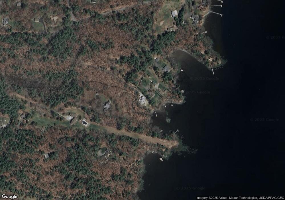
Map
Nearby Homes
- 11 Willey Creek Rd
- 1 Riverview Ct
- 18 Deborah Ln
- 41 Clearwater Dr
- 18 Little Bay Dr
- 354 Dover Point Rd
- 348 Dover Point Rd
- 71 Shipwright Way
- 0 Cote Dr Unit 55B
- 274 Bay Rd
- 10 Shipwright Way
- Slip B18 Little Bay
- 10 Young Dr
- 9 Young Dr
- 14 Young Dr
- 36 Woodman Rd
- 25 Fosters Dr
- 3 Greenfield Dr Unit C
- 17 Foss Farm Rd
- 19 Lenox Dr Unit A
- 271 Durham Point Rd
- 271A Durham Point Rd
- 269 Durham Point Rd
- 267 Durham Point Rd
- 265 Durham Point Rd
- 273 Durham Point Rd
- 263 Durham Point Rd
- 279 Durham Point Rd
- 18 Colony Cove Rd
- 275 Durham Point Rd
- 20 Colony Cove Rd
- 22 Colony Cove Rd
- 24 Colony Cove Rd
- 15 Colony Cove Rd
- 11 Colony Cove Rd
- 283 Durham Point Rd
- 19 Colony Cove Rd
- 28 Colony Cove Rd
- 7 Colony Cove Rd
- 30 Colony Cove Rd
Your Personal Tour Guide
Ask me questions while you tour the home.