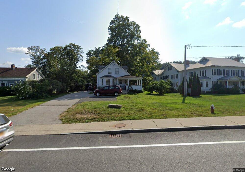
271 Main St Sturbridge, MA 01566
Estimated Value: $290,000 - $467,000
4
Beds
1
Bath
1,392
Sq Ft
$263/Sq Ft
Est. Value
About This Home
This home is located at 271 Main St, Sturbridge, MA 01566 and is currently estimated at $365,430, approximately $262 per square foot. 271 Main St is a home located in Worcester County with nearby schools including Burgess Elementary School, Tantasqua Regional Junior High School, and Tantasqua Regional High School.
Ownership History
Date
Name
Owned For
Owner Type
Purchase Details
Closed on
Jun 2, 1997
Sold by
Obrien Lena M
Bought by
Wheeler Fred R and Wheeler Cecile Y
Current Estimated Value
Home Financials for this Owner
Home Financials are based on the most recent Mortgage that was taken out on this home.
Original Mortgage
$48,599
Outstanding Balance
$6,077
Interest Rate
8.09%
Mortgage Type
Purchase Money Mortgage
Estimated Equity
$359,353
Purchase Details
Closed on
Feb 28, 1995
Sold by
Schuster Rlty Inc
Bought by
Colonero Patrick and Colonero Maryanne
Home Financials for this Owner
Home Financials are based on the most recent Mortgage that was taken out on this home.
Original Mortgage
$88,350
Interest Rate
9.17%
Mortgage Type
Purchase Money Mortgage
Create a Home Valuation Report for This Property
The Home Valuation Report is an in-depth analysis detailing your home's value as well as a comparison with similar homes in the area
Home Values in the Area
Average Home Value in this Area
Purchase History
| Date | Buyer | Sale Price | Title Company |
|---|---|---|---|
| Wheeler Fred R | $49,000 | -- | |
| Colonero Patrick | $93,000 | -- |
Source: Public Records
Mortgage History
| Date | Status | Borrower | Loan Amount |
|---|---|---|---|
| Open | Colonero Patrick | $48,599 | |
| Previous Owner | Colonero Patrick | $88,350 |
Source: Public Records
Tax History
| Year | Tax Paid | Tax Assessment Tax Assessment Total Assessment is a certain percentage of the fair market value that is determined by local assessors to be the total taxable value of land and additions on the property. | Land | Improvement |
|---|---|---|---|---|
| 2025 | $4,511 | $283,200 | $67,800 | $215,400 |
| 2024 | $4,320 | $262,000 | $66,400 | $195,600 |
| 2023 | $4,084 | $226,000 | $58,200 | $167,800 |
| 2022 | $3,939 | $205,700 | $53,100 | $152,600 |
| 2021 | $3,555 | $186,900 | $50,700 | $136,200 |
| 2020 | $3,555 | $186,900 | $50,700 | $136,200 |
| 2019 | $3,188 | $166,500 | $52,200 | $114,300 |
| 2018 | $3,066 | $157,700 | $49,700 | $108,000 |
| 2017 | $2,920 | $150,500 | $47,700 | $102,800 |
| 2016 | $2,797 | $145,600 | $46,400 | $99,200 |
| 2015 | $2,701 | $140,400 | $46,400 | $94,000 |
Source: Public Records
Map
Nearby Homes
- 10 Maple St
- 9 Haynes St
- 200 Main St
- 368 Main St
- 19 Preserve Way
- 8 Blueberry Ln
- 1 Chase Rd
- 0 Fiske Hill Rd
- 73 New Boston Rd
- 26 Cedar Lake Dr
- 74 Fairview Park Rd
- Lot B-6 River Rd
- 43 Mountain Brook Rd
- 69 Farquhar Rd
- 55 Fiske Hill Rd
- 7 Crescent Way Unit 105
- 7 Crescent Way Unit 315
- 3 Berry Farms Road - Jv
- 74 River Rd
- 19 Arnold Rd
- 271 Main St Unit 1
- 269 Main St
- 267 Main St
- 265 Main St
- 277B Main St Behind Publick House
- 272 Main St
- 266 Main St
- 4 Charlton St
- 6 Charlton St
- 283 Main St
- 262 Main St
- 260 Main St
- 10 Charlton St
- 5 Charlton St
- 67 Hall
- 209 Main St-Lots 2-6
- 6E Berry Farms Rd
- 6B Berry Farms Rd
- 6C Berry Farms Rd
- 6A Berry Farms Rd