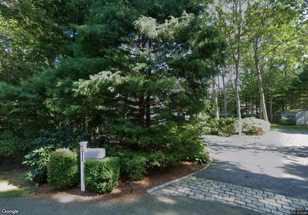
271 Mockingbird Ln Marstons Mills, MA 02648
Marstons Mills NeighborhoodEstimated Value: $869,730 - $1,144,000
3
Beds
2
Baths
2,201
Sq Ft
$435/Sq Ft
Est. Value
About This Home
This home is located at 271 Mockingbird Ln, Marstons Mills, MA 02648 and is currently estimated at $956,933, approximately $434 per square foot. 271 Mockingbird Ln is a home located in Barnstable County with nearby schools including West Villages Elementary School, Barnstable United Elementary School, and Barnstable Intermediate School.
Ownership History
Date
Name
Owned For
Owner Type
Purchase Details
Closed on
Oct 3, 2003
Sold by
Kaffenburgh Janet Susan and Thimme Susan K
Bought by
Altoonian James J
Current Estimated Value
Create a Home Valuation Report for This Property
The Home Valuation Report is an in-depth analysis detailing your home's value as well as a comparison with similar homes in the area
Home Values in the Area
Average Home Value in this Area
Purchase History
| Date | Buyer | Sale Price | Title Company |
|---|---|---|---|
| Altoonian James J | $485,000 | -- |
Source: Public Records
Mortgage History
| Date | Status | Borrower | Loan Amount |
|---|---|---|---|
| Previous Owner | Altoonian James J | $400,000 | |
| Previous Owner | Altoonian James J | $250,000 | |
| Previous Owner | Altoonian James J | $175,000 |
Source: Public Records
Tax History
| Year | Tax Paid | Tax Assessment Tax Assessment Total Assessment is a certain percentage of the fair market value that is determined by local assessors to be the total taxable value of land and additions on the property. | Land | Improvement |
|---|---|---|---|---|
| 2025 | $7,266 | $898,100 | $249,900 | $648,200 |
| 2024 | $6,810 | $871,900 | $249,900 | $622,000 |
| 2023 | $6,423 | $770,200 | $227,400 | $542,800 |
| 2022 | $6,043 | $626,900 | $157,200 | $469,700 |
| 2021 | $6,009 | $572,800 | $159,600 | $413,200 |
| 2020 | $1,989 | $566,900 | $171,400 | $395,500 |
| 2019 | $0 | $547,500 | $181,800 | $365,700 |
| 2018 | $2,099 | $539,000 | $211,900 | $327,100 |
| 2017 | $1,829 | $510,700 | $211,900 | $298,800 |
| 2016 | $5,466 | $501,500 | $213,100 | $288,400 |
| 2015 | $5,423 | $499,800 | $204,100 | $295,700 |
Source: Public Records
Map
Nearby Homes
- 19 Oriole Ln
- 48 Holly Ridge Dr
- 35 Santuit Pond Way Unit 7B
- 152 Wakeby Rd
- 24 Widow Coombs Walk
- 36 Moon Compass Ln
- 78 Brittany Dr
- 2 Open Space Dr
- 315 Blackthorn Rd
- 318 Old Mill Rd
- 16 Newtown Rd
- 544 Cotuit Rd
- 170 Forest Hills Rd
- 68 Fox Hill Rd
- 45 Fox Hill Rd
- 22 Candlewood Ln
- 10 Candlewood Ln
- 1456 Santuit-Newtown Rd
- 16 Balfour Ln
- 23 Middle Pond Path
- 254 Long Pond Rd
- 61 Wren Ln
- 249 Mockingbird Ln
- 266 Long Pond Rd
- 266 Long Pond Rd
- 260 Long Pond Rd
- 45 Wren Ln
- 62 Wren Ln
- 237 Mockingbird Ln
- 282 Long Pond Rd
- 244 Mockingbird Ln
- 52 Wren Ln
- 232 Mockingbird Ln
- 296 Long Pond Rd
- 225 Mockingbird Ln
- 38 Wren Ln
- 31 Wren Ln
- 218 Mockingbird Ln
- 312 Long Pond Rd
- 184 Long Pond Rd
Your Personal Tour Guide
Ask me questions while you tour the home.