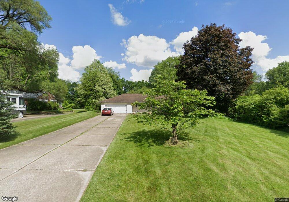
271 N Messner Rd New Franklin, OH 44319
Estimated Value: $231,000 - $251,000
3
Beds
1
Bath
1,456
Sq Ft
$165/Sq Ft
Est. Value
About This Home
This home is located at 271 N Messner Rd, New Franklin, OH 44319 and is currently estimated at $240,292, approximately $165 per square foot. 271 N Messner Rd is a home located in Summit County.
Ownership History
Date
Name
Owned For
Owner Type
Purchase Details
Closed on
Feb 29, 1996
Sold by
Est Audra M Morgan
Bought by
Strickland Beverly K and Strickland Lewis E
Current Estimated Value
Home Financials for this Owner
Home Financials are based on the most recent Mortgage that was taken out on this home.
Original Mortgage
$76,000
Outstanding Balance
$2,993
Interest Rate
7.07%
Mortgage Type
New Conventional
Estimated Equity
$237,299
Create a Home Valuation Report for This Property
The Home Valuation Report is an in-depth analysis detailing your home's value as well as a comparison with similar homes in the area
Home Values in the Area
Average Home Value in this Area
Purchase History
| Date | Buyer | Sale Price | Title Company |
|---|---|---|---|
| Strickland Beverly K | $95,000 | -- |
Source: Public Records
Mortgage History
| Date | Status | Borrower | Loan Amount |
|---|---|---|---|
| Open | Strickland Beverly K | $76,000 |
Source: Public Records
Tax History Compared to Growth
Tax History
| Year | Tax Paid | Tax Assessment Tax Assessment Total Assessment is a certain percentage of the fair market value that is determined by local assessors to be the total taxable value of land and additions on the property. | Land | Improvement |
|---|---|---|---|---|
| 2025 | $3,436 | $67,439 | $16,692 | $50,747 |
| 2024 | $3,436 | $67,439 | $16,692 | $50,747 |
| 2023 | $3,436 | $67,439 | $16,692 | $50,747 |
| 2022 | $3,126 | $47,832 | $11,841 | $35,991 |
| 2021 | $3,137 | $47,832 | $11,841 | $35,991 |
| 2020 | $3,083 | $47,830 | $11,840 | $35,990 |
| 2019 | $3,151 | $43,720 | $9,690 | $34,030 |
| 2018 | $2,728 | $43,720 | $9,690 | $34,030 |
| 2017 | $1,978 | $43,720 | $9,690 | $34,030 |
| 2016 | $1,954 | $38,190 | $9,690 | $28,500 |
| 2015 | $1,978 | $38,190 | $9,690 | $28,500 |
| 2014 | $1,963 | $38,190 | $9,690 | $28,500 |
| 2013 | $2,634 | $39,780 | $9,690 | $30,090 |
Source: Public Records
Map
Nearby Homes
- 451 Yager Rd
- 427 Center Rd
- 5776 Harter Home Dr
- 715 Highland Park Dr
- 781 Leeman Dr
- 6407 Southview Dr
- S/L 14,15 Shakes Hotel Dr
- 4 Shrakes Hotel Dr
- 6 Shrakes Hotel Dr
- 7 Shrakes Hotel Dr
- 5 Shrakes Hotel Dr
- 3 Shrakes Hotel Dr
- 4881 S Main St
- 4831 Christman Rd
- 4944 Coleman Dr
- 899 Loway Dr
- 6090 Manchester Rd Unit 6096
- 5892 Woodward Dr
- 1062 Stump Rd
- lot 8 Whyem Dr
- 257 N Messner Rd
- 281 N Messner Rd
- 253 N Messner Rd
- 240 N Messner Rd Unit 244
- 272 N Messner Rd
- 262 N Messner Rd
- 241 N Messner Rd
- 291 N Messner Rd
- 236 N Messner Rd Unit 238
- 236 N Messner Rd
- 307 N Messner Rd
- 223 N Messner Rd
- 232 N Messner Rd
- 318 N Messner Rd
- 323 N Messner Rd
- 331 N Messner Rd
- 324 N Messner Rd
- 209 N Messner Rd
- 218 N Messner Rd
- 166 W Nimisila Rd