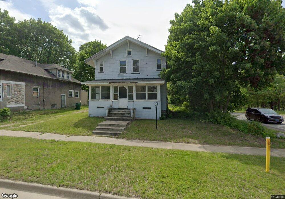
271 Oneita St Battle Creek, MI 49037
North Central NeighborhoodEstimated Value: $106,357 - $146,000
4
Beds
1
Bath
1,344
Sq Ft
$90/Sq Ft
Est. Value
About This Home
This home is located at 271 Oneita St, Battle Creek, MI 49037 and is currently estimated at $121,589, approximately $90 per square foot. 271 Oneita St is a home located in Calhoun County with nearby schools including Dudley School, Northwestern Middle School, and Battle Creek Central High School.
Ownership History
Date
Name
Owned For
Owner Type
Purchase Details
Closed on
Sep 5, 2014
Sold by
Calhoun County Treasurer
Bought by
Freeman Quincy
Current Estimated Value
Purchase Details
Closed on
Sep 13, 2011
Sold by
Calhoun County Land Bank Authority
Bought by
Freeman Quincy
Purchase Details
Closed on
Sep 9, 2011
Sold by
County Of Calhoun
Bought by
The Calhoun County Land Bank Authority
Create a Home Valuation Report for This Property
The Home Valuation Report is an in-depth analysis detailing your home's value as well as a comparison with similar homes in the area
Home Values in the Area
Average Home Value in this Area
Purchase History
| Date | Buyer | Sale Price | Title Company |
|---|---|---|---|
| Freeman Quincy | -- | None Available | |
| Freeman Quincy | $2,190 | None Available | |
| The Calhoun County Land Bank Authority | $1,699 | None Available |
Source: Public Records
Tax History Compared to Growth
Tax History
| Year | Tax Paid | Tax Assessment Tax Assessment Total Assessment is a certain percentage of the fair market value that is determined by local assessors to be the total taxable value of land and additions on the property. | Land | Improvement |
|---|---|---|---|---|
| 2025 | -- | $31,400 | $0 | $0 |
| 2024 | $844 | $26,080 | $0 | $0 |
| 2023 | $1,173 | $22,363 | $0 | $0 |
| 2022 | $786 | $18,305 | $0 | $0 |
| 2021 | $1,013 | $17,163 | $0 | $0 |
| 2020 | $617 | $14,959 | $0 | $0 |
| 2019 | $770 | $13,448 | $0 | $0 |
| 2018 | $770 | $13,274 | $558 | $12,716 |
| 2017 | $1,064 | $15,020 | $0 | $0 |
| 2016 | $1,102 | $17,131 | $0 | $0 |
| 2015 | $807 | $19,138 | $2,620 | $16,518 |
| 2014 | $807 | $17,504 | $2,620 | $14,884 |
Source: Public Records
Map
Nearby Homes
- 435 Kendall St N
- 5 Beglin Ct
- 188 Roseneath Ave
- 52 Roseneath Ave
- 224 Hubbard St
- 129 Fox Ave
- 216 Kendall St N
- 161 Wilds Ave
- 706 Washington Ave N
- 253 Greenwood Ave
- 000 5 Mile Rd
- 89 Somerset Ave
- 125 Oaklawn Ave
- 60 Graves Ave
- 69 Jordan St
- 46 Walter Ave
- 69 Coolidge Ave W
- 562 Van Buren St W
- 35 Hubbard St
- 0 W Vanburen 027 St Unit 22040287
- 267 Oneita St
- 261 Oneita St
- 170 Goodale Ave W
- 166 Goodale Ave W
- 430 Wood St N
- 255 Oneita St
- 160 Goodale Ave W
- 266 Oneita St
- 416 Wood St N
- 251 Oneita St
- 158 Goodale Ave W
- 410 Wood St N
- 258 Oneita St
- 254 Oneita St
- 156 Goodale Ave W
- 247 Oneita St
- 301 Oneita St
- 250 Oneita St
- 154 Goodale Ave W
- 441 Kendall St N