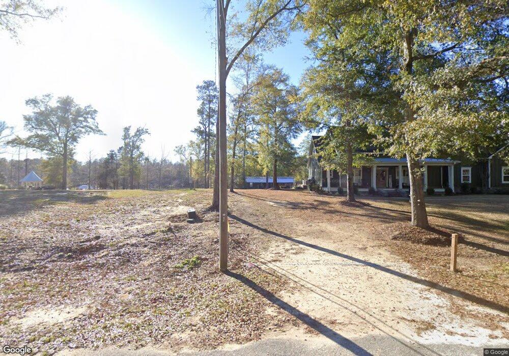
271 Rivervale Dr Bainbridge, GA 39817
Estimated Value: $443,000 - $670,963
Studio
1
Bath
2,908
Sq Ft
$199/Sq Ft
Est. Value
About This Home
This home is located at 271 Rivervale Dr, Bainbridge, GA 39817 and is currently estimated at $577,741, approximately $198 per square foot. 271 Rivervale Dr is a home with nearby schools including Bainbridge High School.
Ownership History
Date
Name
Owned For
Owner Type
Purchase Details
Closed on
Nov 15, 2018
Sold by
Bostwick Bobby J
Bought by
Whiddon Talmadge W and Whiddon Roxane C
Current Estimated Value
Home Financials for this Owner
Home Financials are based on the most recent Mortgage that was taken out on this home.
Original Mortgage
$55,000
Interest Rate
4.9%
Mortgage Type
New Conventional
Purchase Details
Closed on
Jan 24, 2014
Sold by
Brock Construction & Rea
Bought by
Decatur County Development Llc
Create a Home Valuation Report for This Property
The Home Valuation Report is an in-depth analysis detailing your home's value as well as a comparison with similar homes in the area
Purchase History
| Date | Buyer | Sale Price | Title Company |
|---|---|---|---|
| Whiddon Talmadge W | $100,000 | -- | |
| Decatur County Development Llc | $1,370,000 | -- |
Source: Public Records
Mortgage History
| Date | Status | Borrower | Loan Amount |
|---|---|---|---|
| Closed | Whiddon Talmadge W | $55,000 |
Source: Public Records
Tax History
| Year | Tax Paid | Tax Assessment Tax Assessment Total Assessment is a certain percentage of the fair market value that is determined by local assessors to be the total taxable value of land and additions on the property. | Land | Improvement |
|---|---|---|---|---|
| 2024 | $7,396 | $235,761 | $40,000 | $195,761 |
| 2023 | $6,888 | $235,761 | $40,000 | $195,761 |
| 2022 | $6,618 | $216,340 | $40,000 | $176,340 |
| 2021 | $2,052 | $64,800 | $40,000 | $24,800 |
| 2020 | $696 | $20,800 | $20,000 | $800 |
| 2019 | $723 | $20,800 | $20,000 | $800 |
| 2018 | $714 | $20,800 | $20,000 | $800 |
| 2017 | $727 | $20,800 | $20,000 | $800 |
| 2016 | $727 | $20,800 | $20,000 | $800 |
| 2015 | $748 | $20,800 | $20,000 | $800 |
| 2014 | $693 | $20,800 | $20,000 | $800 |
| 2013 | -- | $20,800 | $20,000 | $800 |
Source: Public Records
Map
Nearby Homes
- Tract 1 Rivervale Dr
- 150 Rivervale Dr
- 141 Aryola Dr
- 116 Flint River Heights Rd
- 0 Pine St Unit 10993
- 1813 E Forest Ln
- 000 E River Rd
- 1002 Mildred St
- 2032 Lexington Ave
- 1302 Majestic Ave
- 1215 Majestic Ave
- 1606 Hemlock St
- 1702 Vada Rd
- 757 Manhole Rd
- 1503 Smart St
- 709 N Miller Ave
- 604 Martin St
- 533 Flint River Heights Rd
- 00 Manhole Rd
- 936 Cooper St
- 267 Rivervale Dr
- 285 Rivervale Dr
- Lot 16 River Vale
- 293 Rivervale Dr
- 261 Rivervale Dr
- 301 Rivervale Dr
- 245 Rivervale Dr
- 73.44 Ac Rivervale Road On the East Side
- 239 Rivervale Dr
- 233 Rivervale Dr
- 223 Rivervale Dr
- 219 Rivervale Dr
- 102 River Ridge Dr
- 211 Rivervale Dr
- 104 River Ridge Dr
- 110 River Ridge Dr
- 114 River Ridge Dr
- Lots1& 2 Rivervale Dr
- Lot 16 Rivervale Dr
- Lots1-12 Rivervale Rd