271 Trask Side Rd Alton Bay, NH 03810
Estimated Value: $1,039,096 - $1,187,000
3
Beds
2
Baths
1,360
Sq Ft
$798/Sq Ft
Est. Value
About This Home
This home is located at 271 Trask Side Rd, Alton Bay, NH 03810 and is currently estimated at $1,085,524, approximately $798 per square foot. 271 Trask Side Rd is a home with nearby schools including Alton Central School (Elem) and Prospect Mountain High School.
Ownership History
Date
Name
Owned For
Owner Type
Purchase Details
Closed on
Oct 1, 2019
Sold by
Jordan Eric E and Jordan Gail J
Bought by
Eric & Gail Jordan Ft
Current Estimated Value
Purchase Details
Closed on
May 19, 2010
Sold by
George M Christenton R
Bought by
Jordan Eric E and Jordan Gail J
Home Financials for this Owner
Home Financials are based on the most recent Mortgage that was taken out on this home.
Original Mortgage
$350,000
Interest Rate
5.23%
Mortgage Type
Purchase Money Mortgage
Create a Home Valuation Report for This Property
The Home Valuation Report is an in-depth analysis detailing your home's value as well as a comparison with similar homes in the area
Home Values in the Area
Average Home Value in this Area
Purchase History
| Date | Buyer | Sale Price | Title Company |
|---|---|---|---|
| Eric & Gail Jordan Ft | -- | -- | |
| Jordan Eric E | $326,100 | -- |
Source: Public Records
Mortgage History
| Date | Status | Borrower | Loan Amount |
|---|---|---|---|
| Previous Owner | Jordan Eric E | $350,000 |
Source: Public Records
Tax History Compared to Growth
Tax History
| Year | Tax Paid | Tax Assessment Tax Assessment Total Assessment is a certain percentage of the fair market value that is determined by local assessors to be the total taxable value of land and additions on the property. | Land | Improvement |
|---|---|---|---|---|
| 2024 | $11,625 | $895,600 | $735,300 | $160,300 |
| 2022 | $10,183 | $895,600 | $735,300 | $160,300 |
| 2021 | $10,192 | $895,600 | $735,300 | $160,300 |
| 2020 | $10,502 | $752,800 | $629,400 | $123,400 |
| 2019 | $9,418 | $752,800 | $629,400 | $123,400 |
| 2018 | $9,526 | $743,300 | $629,400 | $113,900 |
| 2017 | $9,540 | $741,800 | $629,400 | $112,400 |
| 2016 | $9,267 | $654,900 | $552,400 | $102,500 |
| 2015 | $9,023 | $632,300 | $529,800 | $102,500 |
| 2014 | $9,396 | $678,400 | $576,800 | $101,600 |
| 2013 | $8,727 | $649,300 | $547,700 | $101,600 |
Source: Public Records
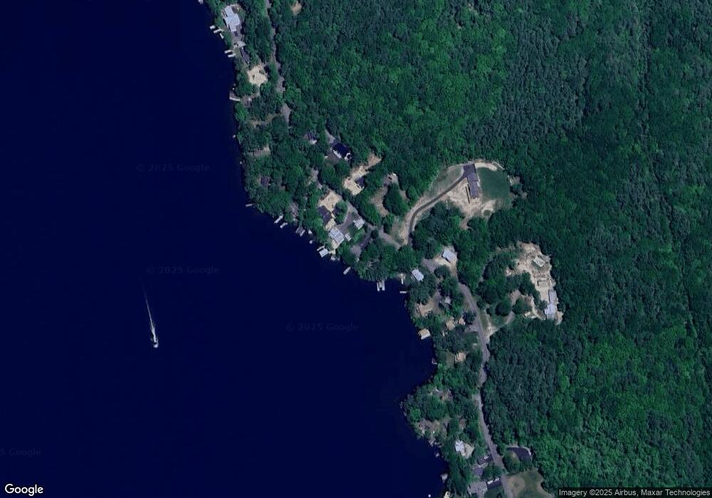
Map
Nearby Homes
- 204 Route 11-D
- 581 E Side Dr
- Lot 13 Jaytee Dr
- Lots 134-135 Wendy Dr
- Lot 5-2-1 Jesus Valley Rd
- 74 Jesus Valley Rd
- 00 Old Wolfeboro Rd Unit 40
- 25 Georges Rd
- 241 Mount Major Hwy
- 510 Old Wolfeboro Rd
- 11/13/A High Point Dr
- 104 Hopewell Rd
- 141 Lakewood Dr
- 115 Mount Major Hwy
- 654 Alton Mountain Rd
- 120 Big Barndoor Island
- 650 Alton Mountain Rd
- 642 Alton Mountain Rd
- 606 Alton Mountain Rd
- 1425 Mount Major Hwy
- 267 Trask Side Rd
- 277 Trask Side Rd
- 187 Trask Unit Road
- 299 Trask Unit road
- 331 Trask Unit Road
- 277 Trask Unit Road
- 270 Trask Unit Road
- 279 Trask Side Rd
- 272 Trask Side Rd
- 263 Trask Side Rd
- 264 Trask Side Rd
- 272 Trask Unit Road
- 283 Trask Side Rd
- 268 Trask Side Rd
- 270 Trask Side Rd
- 257 Trask Side Rd
- 290 Trask Side Rd
- 290 Trask Side Rd Unit 13 & 15
- 00 Trask Side Rd
- 287 Trask Side Rd