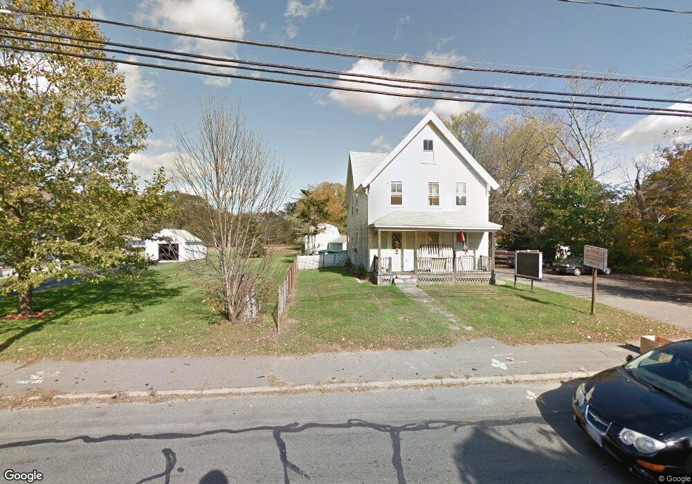
271 Tremont St Unit 1 Taunton, MA 02780
Oakland NeighborhoodEstimated Value: $532,000
3
Beds
1
Bath
1,500
Sq Ft
$355/Sq Ft
Est. Value
About This Home
This home is located at 271 Tremont St Unit 1, Taunton, MA 02780 and is currently estimated at $532,000, approximately $354 per square foot. 271 Tremont St Unit 1 is a home located in Bristol County with nearby schools including Benjamin Friedman Middle School, Joseph C. Chamberlain Elementary School, and Taunton High School.
Ownership History
Date
Name
Owned For
Owner Type
Purchase Details
Closed on
Jul 25, 2018
Sold by
Benoit Robyn E and Benoit Richard A
Bought by
Skinner Sarah M and Skinner David
Current Estimated Value
Home Financials for this Owner
Home Financials are based on the most recent Mortgage that was taken out on this home.
Original Mortgage
$189,654
Outstanding Balance
$166,999
Interest Rate
5.25%
Mortgage Type
FHA
Estimated Equity
$365,001
Purchase Details
Closed on
Aug 11, 2010
Sold by
Robyn Ellis Ret and Ellis
Bought by
Ellis Robyn
Create a Home Valuation Report for This Property
The Home Valuation Report is an in-depth analysis detailing your home's value as well as a comparison with similar homes in the area
Home Values in the Area
Average Home Value in this Area
Purchase History
| Date | Buyer | Sale Price | Title Company |
|---|---|---|---|
| Skinner Sarah M | $159,000 | -- | |
| Skinner Sarah M | $159,000 | -- | |
| Skinner Sarah M | $159,000 | -- | |
| Ellis Robyn | -- | -- | |
| Ellis Robyn | -- | -- |
Source: Public Records
Mortgage History
| Date | Status | Borrower | Loan Amount |
|---|---|---|---|
| Open | Skinner Sarah M | $189,654 | |
| Closed | Skinner Sarah M | $189,654 |
Source: Public Records
Tax History Compared to Growth
Tax History
| Year | Tax Paid | Tax Assessment Tax Assessment Total Assessment is a certain percentage of the fair market value that is determined by local assessors to be the total taxable value of land and additions on the property. | Land | Improvement |
|---|---|---|---|---|
| 2025 | $4,611 | $477,200 | $133,500 | $343,700 |
| 2024 | $4,611 | $412,100 | $133,500 | $278,600 |
| 2023 | $0 | $337,800 | $111,500 | $226,300 |
| 2022 | $0 | $287,100 | $101,500 | $185,600 |
| 2021 | $0 | $269,900 | $101,500 | $168,400 |
| 2020 | $0 | $255,400 | $101,500 | $153,900 |
| 2019 | $2,028 | $233,300 | $106,600 | $126,700 |
| 2018 | $0 | $227,600 | $107,500 | $120,100 |
| 2017 | $0 | $213,300 | $102,500 | $110,800 |
| 2016 | $3,805 | $206,200 | $99,400 | $106,800 |
| 2015 | $3,805 | $198,300 | $99,400 | $98,900 |
| 2014 | $3,805 | $198,300 | $99,400 | $98,900 |
Source: Public Records
Map
Nearby Homes
- 13 Northway
- 17 Davis St
- 0 Norton Ave Unit 73445127
- 166 Alfred Lord Blvd
- 193 Tremont St Unit 124
- Lot 6 Tremont St
- 218 Dunbar St
- 10 1/2 Worcester St
- 137 Tremont St
- 79 Fremont St
- 45 Fisher St
- 193 Fremont St
- 16 Hunter St Unit A
- 50 Rosewood Dr
- 108 Tremont St
- 427 W Britannia St
- 110 Eldridge St Unit B
- 214 Eldridge St
- 6 Grove Ave
- 115 Ice House Rd
- 271 Tremont St
- 269 Tremont St
- 273 Tremont St
- 263 Tremont St
- 265 Tremont St
- 277 Tremont St
- 280 Tremont St
- 11 Merrill Ave
- 274 Tremont St
- 281 Tremont St
- 272 Tremont St
- 261 Tremont St
- 261 Tremont St
- 270 Tremont St
- 1 Walker Ave
- 15 Merrill Ave
- 283 Tremont St
- 283 Tremont St Unit 1
- 286 Tremont St
- 2 Walker Ave