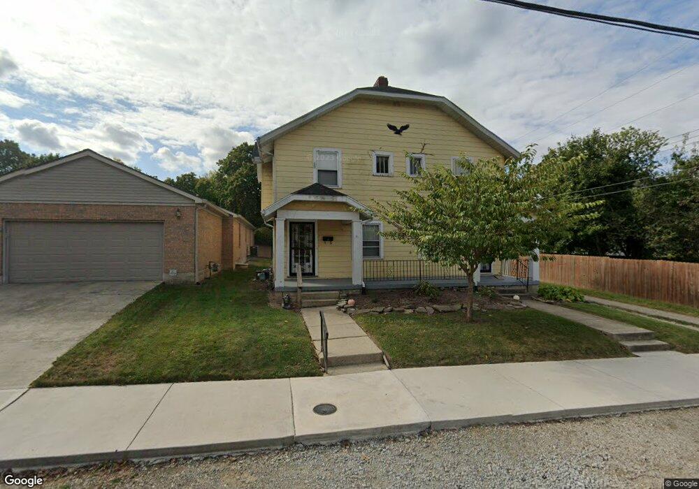
271 W 2nd St Unit 273 Springfield, OH 45504
Estimated Value: $159,000 - $184,019
6
Beds
2
Baths
2,352
Sq Ft
$72/Sq Ft
Est. Value
About This Home
This home is located at 271 W 2nd St Unit 273, Springfield, OH 45504 and is currently estimated at $168,505, approximately $71 per square foot. 271 W 2nd St Unit 273 is a home located in Clark County with nearby schools including Snowhill Elementary School, Roosevelt Middle School, and Springfield High School.
Ownership History
Date
Name
Owned For
Owner Type
Purchase Details
Closed on
Dec 1, 2021
Sold by
Linkhart James R
Bought by
Cober Properties Llc
Current Estimated Value
Purchase Details
Closed on
May 17, 1996
Sold by
Snow Ronald D
Bought by
Linkhart James R
Home Financials for this Owner
Home Financials are based on the most recent Mortgage that was taken out on this home.
Original Mortgage
$370,000
Interest Rate
7.86%
Mortgage Type
New Conventional
Purchase Details
Closed on
Jun 15, 1992
Create a Home Valuation Report for This Property
The Home Valuation Report is an in-depth analysis detailing your home's value as well as a comparison with similar homes in the area
Home Values in the Area
Average Home Value in this Area
Purchase History
| Date | Buyer | Sale Price | Title Company |
|---|---|---|---|
| Cober Properties Llc | $110,000 | Team Ttl & Closing Svcs Llc | |
| Linkhart James R | $97,000 | -- | |
| -- | $85,500 | -- |
Source: Public Records
Mortgage History
| Date | Status | Borrower | Loan Amount |
|---|---|---|---|
| Previous Owner | Linkhart James R | $370,000 |
Source: Public Records
Tax History
| Year | Tax Paid | Tax Assessment Tax Assessment Total Assessment is a certain percentage of the fair market value that is determined by local assessors to be the total taxable value of land and additions on the property. | Land | Improvement |
|---|---|---|---|---|
| 2025 | $2,217 | $57,000 | $8,210 | $48,790 |
| 2024 | $2,161 | $43,750 | $7,330 | $36,420 |
| 2023 | $2,161 | $43,750 | $7,330 | $36,420 |
| 2022 | $2,214 | $43,750 | $7,330 | $36,420 |
| 2021 | $1,950 | $35,490 | $5,870 | $29,620 |
| 2020 | $1,955 | $35,490 | $5,870 | $29,620 |
| 2019 | $1,959 | $35,490 | $5,870 | $29,620 |
| 2018 | $1,798 | $31,250 | $5,590 | $25,660 |
| 2017 | $1,796 | $31,249 | $5,590 | $25,659 |
| 2016 | $1,799 | $31,249 | $5,590 | $25,659 |
| 2015 | $3,808 | $31,249 | $5,590 | $25,659 |
| 2014 | $1,826 | $31,249 | $5,590 | $25,659 |
| 2013 | $6,626 | $31,249 | $5,590 | $25,659 |
Source: Public Records
Map
Nearby Homes
- 125 Hawthorne Rd
- 0 E McCreight Ave
- 1107 N Fountain Ave
- 1330 Garfield Ave
- 24 Bill Edwards Dr
- 1023 Garfield Ave
- 119 E McCreight Ave
- 648 N Tanglewood Dr
- 25 Englewood Rd
- 327 Ardmore Rd
- 1425 Sheaff Rd
- 735 Tanglewood Dr
- 1007 N Limestone St
- 820 W 1st St
- 827 Snowhill Blvd
- 120 E Ward St
- 275 Ridge Rd
- 308 Ridge Rd
- 310 E 3rd St
- 1224 Glenmore Dr
- 269 W 2nd St
- 1330 N Lowry Ave
- 1328 N Lowry Ave
- 1333 Pythian Ave
- 1404 N Lowry Ave
- 260 W 2nd St
- 1324 N Lowry Ave
- 1329 Pythian Ave
- 272 W 2nd St Unit 274
- 268 W 2nd St Unit 270
- 1406 N Lowry Ave
- 1320 N Lowry Ave
- 1409 Pythian Ave
- 1327 Pythian Ave
- 303 Second St
- 1412 N Lowry Ave Unit 1414
- 1411 Pythian Ave
- 1316 N Lowry Ave
- 1317 Pythian Ave
- 204 W 2nd St
Your Personal Tour Guide
Ask me questions while you tour the home.