2710 Cook Rd Hastings, MI 49058
Estimated Value: $225,000 - $396,000
3
Beds
2
Baths
1,512
Sq Ft
$190/Sq Ft
Est. Value
About This Home
This home is located at 2710 Cook Rd, Hastings, MI 49058 and is currently estimated at $287,000, approximately $189 per square foot. 2710 Cook Rd is a home located in Barry County with nearby schools including Hastings High School.
Ownership History
Date
Name
Owned For
Owner Type
Purchase Details
Closed on
Jun 11, 2025
Sold by
Adrianson Laurence and Adrianson Jill Lauren
Bought by
Adrianson Laurence D and Adrianson Jill L
Current Estimated Value
Purchase Details
Closed on
May 18, 2015
Sold by
Adrianson Laurence and Adrianson Jill Lauren
Bought by
Adrianson Laurene and Adrianson Jill Laurel
Home Financials for this Owner
Home Financials are based on the most recent Mortgage that was taken out on this home.
Original Mortgage
$85,173
Interest Rate
3.75%
Mortgage Type
FHA
Create a Home Valuation Report for This Property
The Home Valuation Report is an in-depth analysis detailing your home's value as well as a comparison with similar homes in the area
Home Values in the Area
Average Home Value in this Area
Purchase History
| Date | Buyer | Sale Price | Title Company |
|---|---|---|---|
| Adrianson Laurence D | -- | None Listed On Document | |
| Adrianson Laurene | -- | Netco Title |
Source: Public Records
Mortgage History
| Date | Status | Borrower | Loan Amount |
|---|---|---|---|
| Previous Owner | Adrianson Laurene | $85,173 |
Source: Public Records
Tax History Compared to Growth
Tax History
| Year | Tax Paid | Tax Assessment Tax Assessment Total Assessment is a certain percentage of the fair market value that is determined by local assessors to be the total taxable value of land and additions on the property. | Land | Improvement |
|---|---|---|---|---|
| 2025 | $650 | $0 | $0 | $0 |
| 2024 | $698 | $39,700 | $0 | $0 |
| 2023 | $650 | $29,100 | $0 | $0 |
| 2022 | $650 | $29,100 | $0 | $0 |
| 2021 | $650 | $27,100 | $0 | $0 |
| 2020 | $770 | $25,200 | $0 | $0 |
| 2019 | $770 | $29,000 | $0 | $0 |
| 2018 | $0 | $35,300 | $0 | $0 |
| 2017 | $0 | $35,200 | $0 | $0 |
| 2016 | -- | $33,400 | $0 | $0 |
| 2015 | -- | $33,700 | $0 | $0 |
| 2014 | -- | $33,700 | $0 | $0 |
Source: Public Records
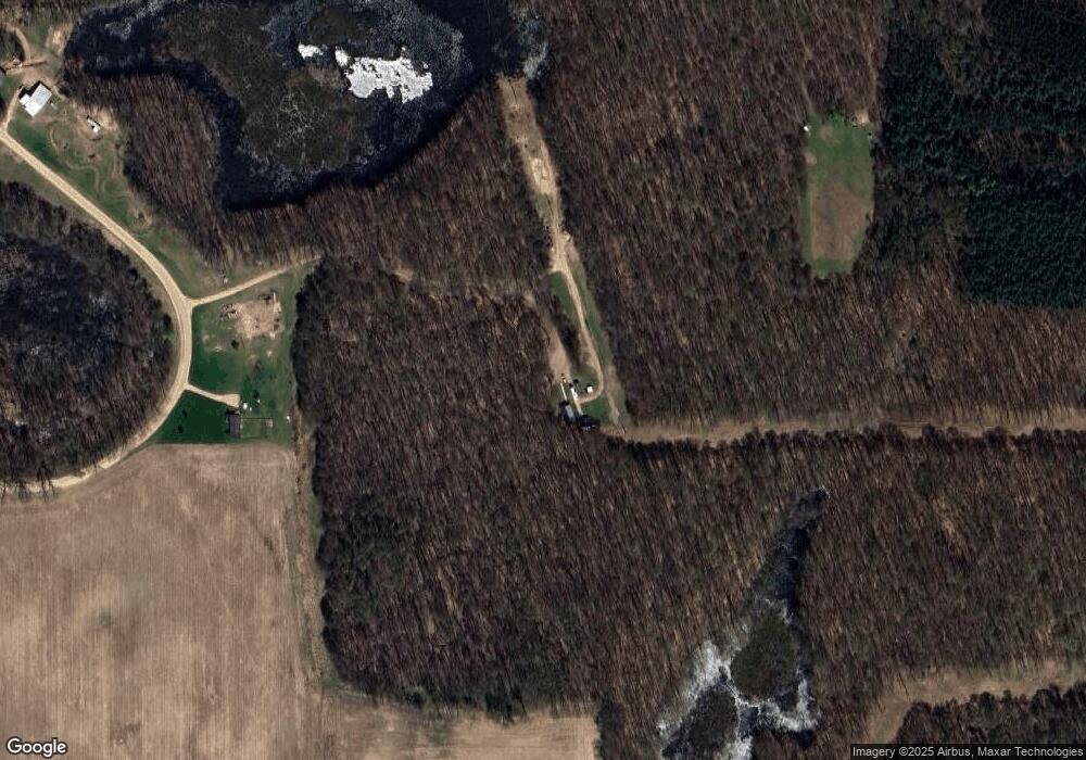
Map
Nearby Homes
- 641 W Quimby Rd
- 1969 Campground Rd
- 2101 Maple Ln
- 0 Michigan 79 Unit 25022518
- V/L Michigan 79
- 236 W Nelson St
- 3275 S M 37 Hwy
- 932 Redwood Dr
- 331 W South St
- 1859 Jester Dr
- 1002 S Broadway St
- 916 Wintergreen Dr
- 2050 Tanner Lake Rd
- 1634 Lavender Dr
- 1325 S Montgomery St
- 720 W Bond St
- 736 W Grand St
- 720 S Jefferson St Unit 722
- 610 S Park St
- 1625 Secluded Acres Dr
- 2735 Cook Rd
- 610 W Quimby Rd
- 2675 Cook Rd
- 430 W Quimby Rd
- 2750 S Broadway Rd
- 2750 S Broadway Rd
- 250 W Quimby Rd
- 2700 S Broadway Rd
- 1015 W Quimby Rd
- 1049 Hall Rd
- 2556 S Broadway Rd
- 2351 Cook Rd
- 1080 W Quimby Rd
- 2546 S Broadway Rd
- 3185 Cook Rd
- 2540 S Broadway Rd
- 2224 S Broadway Rd
- 2224 S Broadway Rd
- 2543 S Broadway Rd
- 2478 Robinwood Dr