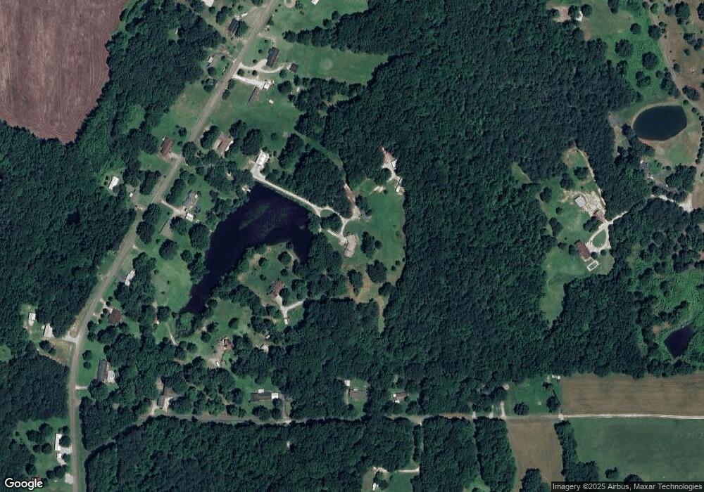
2710 Old Highway 69 Camden, TN 38320
Estimated Value: $231,000 - $313,000
--
Bed
3
Baths
1,722
Sq Ft
$158/Sq Ft
Est. Value
About This Home
This home is located at 2710 Old Highway 69, Camden, TN 38320 and is currently estimated at $272,499, approximately $158 per square foot. 2710 Old Highway 69 is a home located in Benton County with nearby schools including Camden Elementary School, Briarwood School, and Camden Junior High School.
Ownership History
Date
Name
Owned For
Owner Type
Purchase Details
Closed on
Oct 3, 2020
Sold by
Fuller Marlene
Bought by
Lashlee Frank P
Current Estimated Value
Purchase Details
Closed on
Oct 30, 2012
Sold by
Federal Home Loan Mortgage Corporation
Bought by
Lashlee Bridgette
Home Financials for this Owner
Home Financials are based on the most recent Mortgage that was taken out on this home.
Original Mortgage
$75,000
Outstanding Balance
$51,788
Interest Rate
3.45%
Mortgage Type
Cash
Estimated Equity
$220,711
Purchase Details
Closed on
Jun 7, 2012
Sold by
Pennington Harold E
Bought by
Federal Home Loan Mortgage Corporation
Purchase Details
Closed on
Feb 3, 2006
Sold by
Rogers Phillip H
Bought by
Pennington Harold G
Purchase Details
Closed on
Jan 13, 1976
Bought by
Rogers Phillip H and Rogers Dorothy
Purchase Details
Closed on
May 16, 1970
Create a Home Valuation Report for This Property
The Home Valuation Report is an in-depth analysis detailing your home's value as well as a comparison with similar homes in the area
Home Values in the Area
Average Home Value in this Area
Purchase History
| Date | Buyer | Sale Price | Title Company |
|---|---|---|---|
| Lashlee Frank P | -- | None Available | |
| Lashlee Bridgette | $82,500 | -- | |
| Federal Home Loan Mortgage Corporation | -- | -- | |
| Pennington Harold G | $115,000 | -- | |
| Rogers Phillip H | -- | -- | |
| -- | -- | -- |
Source: Public Records
Mortgage History
| Date | Status | Borrower | Loan Amount |
|---|---|---|---|
| Open | Lashlee Bridgette | $75,000 |
Source: Public Records
Tax History Compared to Growth
Tax History
| Year | Tax Paid | Tax Assessment Tax Assessment Total Assessment is a certain percentage of the fair market value that is determined by local assessors to be the total taxable value of land and additions on the property. | Land | Improvement |
|---|---|---|---|---|
| 2025 | $865 | $67,425 | $0 | $0 |
| 2024 | $865 | $31,700 | $6,200 | $25,500 |
| 2023 | $865 | $31,700 | $6,200 | $25,500 |
| 2022 | $865 | $31,700 | $6,200 | $25,500 |
| 2021 | $865 | $31,700 | $6,200 | $25,500 |
| 2020 | $865 | $31,700 | $6,200 | $25,500 |
| 2019 | $925 | $31,350 | $6,200 | $25,150 |
| 2018 | $925 | $31,350 | $6,200 | $25,150 |
| 2017 | $925 | $31,350 | $6,200 | $25,150 |
| 2016 | $976 | $33,075 | $6,200 | $26,875 |
| 2015 | $989 | $33,075 | $6,200 | $26,875 |
| 2014 | $955 | $33,075 | $6,200 | $26,875 |
| 2013 | $955 | $32,499 | $0 | $0 |
Source: Public Records
Map
Nearby Homes
- 2550 Old Highway 69
- 290 Rose Ave
- 1105 Eastview Rd
- 2765 Birdsong Rd
- 320 S Point Dr
- 201 S Point Dr
- 310 Benco Hills Dr
- 000 Blackberry Rd
- 160 Ginger Ln
- 3830 Birdsong Rd
- 385 Crossroads Church Rd
- 0 Old Sawmill Road Lots 12 13
- 167 Cherokee Ave
- 162 Factory St
- 6010 Highway 70 W
- 000 Wyly St
- 4135 Highway 70 E
- 77 Highway 641 S
- 129 S Forrest Ave
- 00 Stones Rd
- 2722 Old Highway 69
- 2690 Old 69s
- 240 Prairie Branch Rd
- 2690 Old Highway 69
- 280 Prairie Branch Rd
- 2750 Old Highway 69
- 160 Prairie Branch Rd
- 2820 Old Highway 69
- 2820 Old Highway 69
- 2725 Hwy 69 S
- 6008 Old Highway 69
- 350 Prairie Branch Rd
- 2610 Old Highway 69
- 2725 Old Highway 69
- 0 Old Highway 69
- 2775 Old Highway 69
- 90 Prairie Branch Rd
- 2830 Old Highway 69
- 2645 Old Highway 69
- 195 Davis Kee Rd
