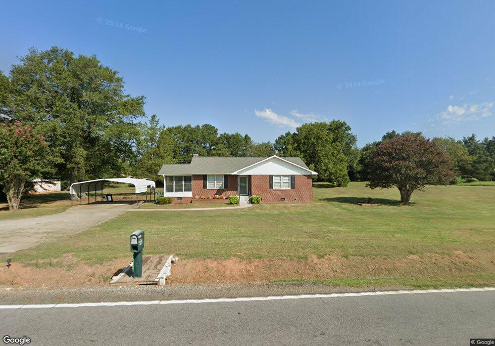
2710 Whitehall Rd Anderson, SC 29625
Estimated Value: $196,000 - $264,000
2
Beds
--
Bath
1,244
Sq Ft
$180/Sq Ft
Est. Value
About This Home
This home is located at 2710 Whitehall Rd, Anderson, SC 29625 and is currently estimated at $223,658, approximately $179 per square foot. 2710 Whitehall Rd is a home located in Anderson County with nearby schools including New Prospect Elementary School, Robert Anderson Middle School, and Westside High School.
Ownership History
Date
Name
Owned For
Owner Type
Purchase Details
Closed on
Jul 28, 2022
Sold by
Wiles Jr Jerry H
Bought by
Emory Charles T
Current Estimated Value
Home Financials for this Owner
Home Financials are based on the most recent Mortgage that was taken out on this home.
Original Mortgage
$121,500
Outstanding Balance
$110,598
Interest Rate
5.78%
Mortgage Type
New Conventional
Estimated Equity
$113,060
Purchase Details
Closed on
May 19, 2017
Sold by
Howell Preston and Koch Linda Jane
Bought by
Wiles Makayla E and Wiles Jerry H
Purchase Details
Closed on
Oct 10, 2013
Sold by
Estate Of Leo Raymond Koch and Koch Linda Jane
Bought by
Koch Linda Jane
Create a Home Valuation Report for This Property
The Home Valuation Report is an in-depth analysis detailing your home's value as well as a comparison with similar homes in the area
Home Values in the Area
Average Home Value in this Area
Purchase History
| Date | Buyer | Sale Price | Title Company |
|---|---|---|---|
| Emory Charles T | $135,000 | Holliday Ingram Llc | |
| Wiles Makayla E | $75,000 | None Available | |
| Koch Linda Jane | -- | -- |
Source: Public Records
Mortgage History
| Date | Status | Borrower | Loan Amount |
|---|---|---|---|
| Open | Emory Charles T | $121,500 |
Source: Public Records
Tax History Compared to Growth
Tax History
| Year | Tax Paid | Tax Assessment Tax Assessment Total Assessment is a certain percentage of the fair market value that is determined by local assessors to be the total taxable value of land and additions on the property. | Land | Improvement |
|---|---|---|---|---|
| 2024 | $2,697 | $8,090 | $1,360 | $6,730 |
| 2023 | $2,697 | $8,090 | $1,360 | $6,730 |
| 2022 | $434 | $3,380 | $900 | $2,480 |
| 2021 | $400 | $2,860 | $640 | $2,220 |
| 2020 | $394 | $2,860 | $640 | $2,220 |
| 2019 | $394 | $2,860 | $640 | $2,220 |
| 2018 | $1,431 | $4,300 | $960 | $3,340 |
| 2017 | -- | $2,860 | $640 | $2,220 |
| 2016 | $131 | $3,030 | $800 | $2,230 |
| 2015 | $133 | $3,030 | $800 | $2,230 |
| 2014 | $133 | $3,030 | $800 | $2,230 |
Source: Public Records
Map
Nearby Homes
- 201 Knollwood Dr
- 347 Knollwood Dr
- 110 Peartree Ln
- 114 Peartree Ln
- 924 Axmann Dr
- 144 Old Asbury Rd
- 4123 Old Portman Rd
- 4082 Old Portman Rd
- 108 Lakewood Ln
- 202 Highway 187 S
- 215 Spruce Creek
- 1511 Cherokee Cir
- 118 Pritchards Dr
- 4450 Highway 24 Hwy
- 100 Grandview Dr
- 101 Victorian Dr
- 129 Saddle Brook
- 2026 Avant Cir
- 303 Elm Ave
- 302 Elm Ave
- 2716A B Whitehall Rd
- 2704 Whitehall Rd
- 2718 Whitehall Rd
- 2702 Whitehall Rd
- 205 Knollwood Dr
- 207 Knollwood Dr
- 203 Knollwood Dr
- 209 Knollwood Dr
- 2700 Whitehall Rd
- 2722 Whitehall Rd
- 301 Knollwood Dr
- 501 Noel Ct
- 303 Knollwood Dr
- 204 Knollwood Dr
- 206 Knollwood Dr
- 102 Sugar Creek Ln
- 1234 New Hope Rd
- 2726 Whitehall Rd
- 500 Noel Ct
- 202 Knollwood Dr