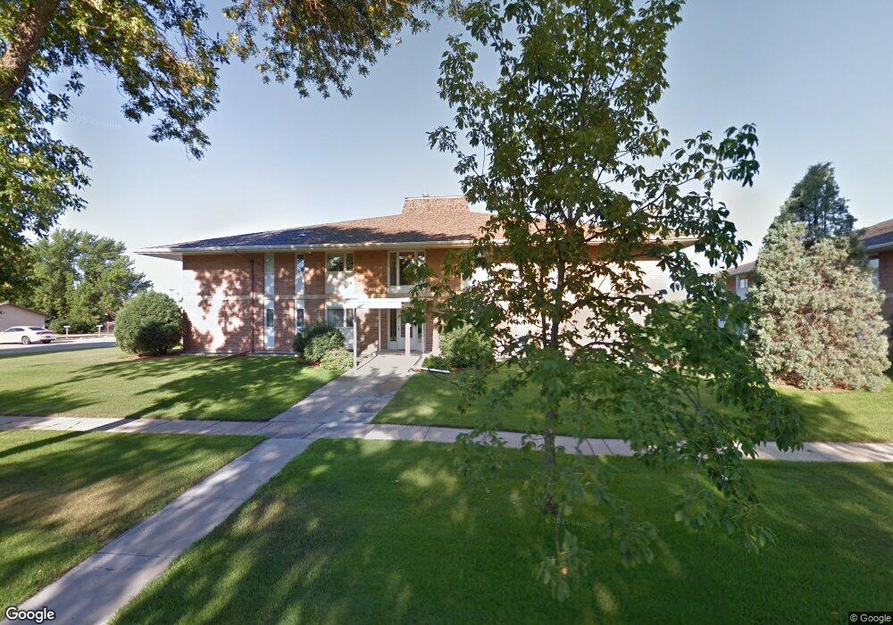
2711 12th St S Unit 8 Fargo, ND 58103
Lincoln NeighborhoodEstimated Value: $148,379 - $188,000
3
Beds
2
Baths
1,242
Sq Ft
$135/Sq Ft
Est. Value
About This Home
This home is located at 2711 12th St S Unit 8, Fargo, ND 58103 and is currently estimated at $167,095, approximately $134 per square foot. 2711 12th St S Unit 8 is a home located in Cass County with nearby schools including Lincoln Elementary School, Carl Ben Eielson Middle School, and South High School.
Ownership History
Date
Name
Owned For
Owner Type
Purchase Details
Closed on
Feb 6, 2009
Sold by
The Bank Of New York
Bought by
Frider Jeffry
Current Estimated Value
Create a Home Valuation Report for This Property
The Home Valuation Report is an in-depth analysis detailing your home's value as well as a comparison with similar homes in the area
Home Values in the Area
Average Home Value in this Area
Purchase History
| Date | Buyer | Sale Price | Title Company |
|---|---|---|---|
| Frider Jeffry | -- | -- |
Source: Public Records
Tax History Compared to Growth
Tax History
| Year | Tax Paid | Tax Assessment Tax Assessment Total Assessment is a certain percentage of the fair market value that is determined by local assessors to be the total taxable value of land and additions on the property. | Land | Improvement |
|---|---|---|---|---|
| 2024 | $1,286 | $95,850 | $6,050 | $89,800 |
| 2023 | $0 | $83,350 | $6,050 | $77,300 |
| 2022 | $2,019 | $74,400 | $6,050 | $68,350 |
| 2021 | $1,635 | $61,350 | $8,500 | $52,850 |
| 2020 | $1,613 | $61,350 | $8,500 | $52,850 |
| 2019 | $1,615 | $61,350 | $5,300 | $56,050 |
| 2018 | $1,594 | $61,350 | $5,300 | $56,050 |
| 2017 | $1,502 | $58,450 | $5,300 | $53,150 |
| 2016 | $1,377 | $56,750 | $5,300 | $51,450 |
| 2015 | $1,246 | $48,000 | $3,600 | $44,400 |
| 2014 | $1,165 | $43,650 | $3,600 | $40,050 |
| 2013 | $1,166 | $43,650 | $3,600 | $40,050 |
Source: Public Records
Map
Nearby Homes
- 2517 W Country Club Dr S Unit 10
- 2825 11th St S
- 2650 15th St S Unit 203
- 909 Southwood Dr S
- 1523 28th Ave S
- 3200 11th St S Unit 103
- 2309 9th St S
- 2440 15th St S Unit B14
- 2636 18th St S Unit 8
- 2636 18th St S Unit 3
- 1813 27th Ave S
- 3126 18th St S
- 26 40th Avenue Oak Cir S
- 2119 27th Ave S
- 1172 Eagle Park Dr S
- 1834 14 1 2 St S
- 2402 18th St S Unit 3
- 2304 37th Ave S
- 2316 37th Ave S
- 4213 S Rivershore Dr
- 2711 12th St S Unit 3
- 2711 12th St S Unit 7
- 2711 12th St S Unit 6
- 2711 12th St S Unit 5
- 2711 12th St S Unit 4
- 2711 12th St S Unit 1
- 2711 12th St S
- 2701 12th St S Unit 15
- 2701 12th St S Unit 10
- 2701 12th St S Unit 16
- 2701 12th St S Unit 14
- 2701 12th St S Unit 13
- 2701 12th St S Unit 12
- 2701 12th St S Unit 11
- 2701 12th St S Unit 9
- 2701 12th St S
- 2801 12th St S
- 2714 12th St S
- 2710 12th St S
- 1117 28th Ave S