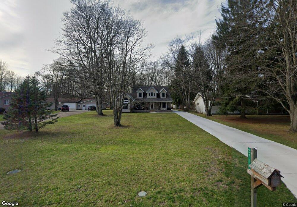
2711 Alger Rd Port Huron, MI 48060
Estimated Value: $249,000 - $322,000
Studio
--
Bath
2,146
Sq Ft
$133/Sq Ft
Est. Value
About This Home
This home is located at 2711 Alger Rd, Port Huron, MI 48060 and is currently estimated at $286,452, approximately $133 per square foot. 2711 Alger Rd is a home located in St. Clair County with nearby schools including Michigamme Elementary School, Central Middle School, and Port Huron High School.
Create a Home Valuation Report for This Property
The Home Valuation Report is an in-depth analysis detailing your home's value as well as a comparison with similar homes in the area
Home Values in the Area
Average Home Value in this Area
Tax History
| Year | Tax Paid | Tax Assessment Tax Assessment Total Assessment is a certain percentage of the fair market value that is determined by local assessors to be the total taxable value of land and additions on the property. | Land | Improvement |
|---|---|---|---|---|
| 2025 | $1,748 | $144,800 | $0 | $0 |
| 2024 | $1,696 | $126,500 | $0 | $0 |
| 2023 | $1,566 | $123,100 | $0 | $0 |
| 2022 | $2,893 | $118,300 | $0 | $0 |
| 2020 | $2,653 | $97,500 | $97,500 | $0 |
| 2019 | $2,599 | $74,400 | $0 | $0 |
| 2018 | $2,558 | $74,400 | $0 | $0 |
| 2017 | $2,551 | $75,800 | $0 | $0 |
| 2016 | $1,309 | $75,800 | $0 | $0 |
| 2015 | -- | $79,900 | $79,900 | $0 |
| 2014 | -- | $73,700 | $73,700 | $0 |
| 2013 | -- | $72,600 | $0 | $0 |
Source: Public Records
Map
Nearby Homes
- 4380 Lapeer Rd
- 0000 W Water St
- 3075 Westcott Dr
- 2940 Westland Dr
- 3115 Spruce Dr
- 0 Wall Rd Unit 50185999
- 3101 Range Rd
- 4224 Atkins Rd
- 3408 N Burwick Dr
- 3255 Harrington Rd
- 3345 Beach Rd
- 0 Lapeer Rd Unit 50137357
- 000 Atkins Rd Atkins Rd
- 0000 Atkins Atkins Rd
- 0000 Range Rd
- 4459 Cambridge Dr
- 4911 Castlewood Dr
- 0000 Manuel Street Manuel St
- 2335 Water St
- 0000 Henry Street Henry St
Your Personal Tour Guide
Ask me questions while you tour the home.