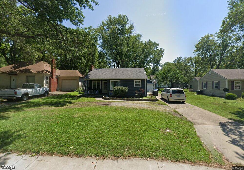
2711 SW 10th Ave Topeka, KS 66604
Central Topeka NeighborhoodEstimated Value: $110,256 - $130,000
2
Beds
1
Bath
992
Sq Ft
$121/Sq Ft
Est. Value
About This Home
This home is located at 2711 SW 10th Ave, Topeka, KS 66604 and is currently estimated at $120,314, approximately $121 per square foot. 2711 SW 10th Ave is a home located in Shawnee County with nearby schools including Buckeye Elementary School, Martin Park Elementary School, and Randolph Elementary School.
Ownership History
Date
Name
Owned For
Owner Type
Purchase Details
Closed on
Jun 22, 2022
Sold by
Lisa Mcdaniel
Bought by
Burton Scott and Burton Lisa
Current Estimated Value
Purchase Details
Closed on
Jul 23, 2006
Sold by
Clark Rebekah J
Bought by
Mcdaniel Lisa and Mcdaniel Lisa M
Home Financials for this Owner
Home Financials are based on the most recent Mortgage that was taken out on this home.
Original Mortgage
$68,032
Interest Rate
6.62%
Mortgage Type
FHA
Create a Home Valuation Report for This Property
The Home Valuation Report is an in-depth analysis detailing your home's value as well as a comparison with similar homes in the area
Home Values in the Area
Average Home Value in this Area
Purchase History
| Date | Buyer | Sale Price | Title Company |
|---|---|---|---|
| Burton Scott | -- | None Listed On Document | |
| Mcdaniel Lisa | -- | Capital Title Insurance Comp |
Source: Public Records
Mortgage History
| Date | Status | Borrower | Loan Amount |
|---|---|---|---|
| Previous Owner | Mcdaniel Lisa | $68,032 |
Source: Public Records
Tax History Compared to Growth
Tax History
| Year | Tax Paid | Tax Assessment Tax Assessment Total Assessment is a certain percentage of the fair market value that is determined by local assessors to be the total taxable value of land and additions on the property. | Land | Improvement |
|---|---|---|---|---|
| 2025 | $1,400 | $10,873 | -- | -- |
| 2023 | $1,400 | $9,866 | $0 | $0 |
| 2022 | $1,235 | $8,579 | $0 | $0 |
| 2021 | $1,205 | $7,815 | $0 | $0 |
| 2020 | $1,132 | $7,442 | $0 | $0 |
| 2019 | $1,116 | $7,296 | $0 | $0 |
| 2018 | $1,083 | $7,084 | $0 | $0 |
| 2017 | $1,086 | $7,084 | $0 | $0 |
| 2014 | $1,179 | $7,595 | $0 | $0 |
Source: Public Records
Map
Nearby Homes
- 923 SW High Ave
- 1147 SW Webster Ave
- 1115 SW Billard Ave
- 1150 SW Collins Ave
- 1022 SW MacVicar Ave
- 829 SW Oakley Ave
- 2330 SW Hazelton Ct
- 1164 SW MacVicar Ave
- 1115 SW Woodward Ave
- 1181 SW MacVicar Ave
- 2204 SW Kensington Ct
- 912 SW Frazier Ave
- 626 SW Medford Ave
- 2012 SW 10th Ave
- 618 SW Randolph Ave
- 2812 SW Huntoon St
- 614 SW Webster Ave
- 2516 SW Huntoon St
- 1156 SW Woodward Ave
- 3005 SW 6th Ave Unit 6th
- 2711 SW 10th St
- 2709 SW 10th Ave
- 2715 SW 10th Ave
- 1014 SW Webster Ave
- 2701 SW 10th Ave
- 1015 SW Randolph Ave
- 1018 SW Webster Ave
- 1019 SW Randolph Ave
- 1019 SW Randolph Ave Unit 1310 SW 14th St
- 1021 SW Randolph Ave
- 1022 SW Webster Ave
- 2712 SW 10th Ave
- 2706 SW 10th St
- 2706 SW 10th Ave
- 2722 SW 10th Ave
- 1001 SW Webster Ave
- 2700 SW 10th Ave
- 1027 SW Randolph Ave
- 1002 SW Randolph Ave
- 1009 SW Webster Ave