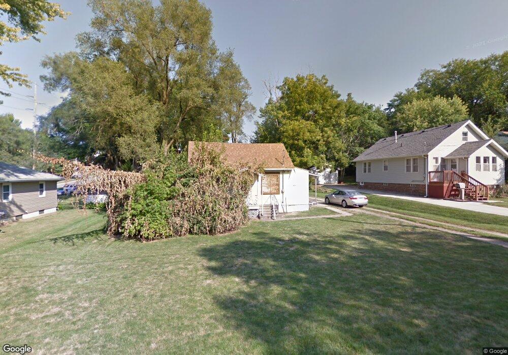
2711 SW 12th St Des Moines, IA 50315
Greater South Side NeighborhoodEstimated Value: $136,000 - $160,000
2
Beds
1
Bath
793
Sq Ft
$184/Sq Ft
Est. Value
About This Home
This home is located at 2711 SW 12th St, Des Moines, IA 50315 and is currently estimated at $145,769, approximately $183 per square foot. 2711 SW 12th St is a home located in Polk County with nearby schools including Park Avenue Elementary School, Brody Middle School, and Lincoln High School.
Ownership History
Date
Name
Owned For
Owner Type
Purchase Details
Closed on
Apr 21, 2006
Sold by
Marturello Conchetta Rose
Bought by
Crowe Michael T
Current Estimated Value
Purchase Details
Closed on
Mar 9, 2002
Sold by
Marturello Conchetta Rose and Marturello Connie
Bought by
Crowe Michael T
Home Financials for this Owner
Home Financials are based on the most recent Mortgage that was taken out on this home.
Original Mortgage
$30,000
Interest Rate
6%
Mortgage Type
Seller Take Back
Create a Home Valuation Report for This Property
The Home Valuation Report is an in-depth analysis detailing your home's value as well as a comparison with similar homes in the area
Home Values in the Area
Average Home Value in this Area
Purchase History
| Date | Buyer | Sale Price | Title Company |
|---|---|---|---|
| Crowe Michael T | $39,500 | None Available | |
| Crowe Michael T | $39,900 | -- |
Source: Public Records
Mortgage History
| Date | Status | Borrower | Loan Amount |
|---|---|---|---|
| Previous Owner | Crowe Michael T | $30,000 |
Source: Public Records
Tax History Compared to Growth
Tax History
| Year | Tax Paid | Tax Assessment Tax Assessment Total Assessment is a certain percentage of the fair market value that is determined by local assessors to be the total taxable value of land and additions on the property. | Land | Improvement |
|---|---|---|---|---|
| 2025 | $1,724 | $121,000 | $43,400 | $77,600 |
| 2024 | $1,724 | $105,100 | $37,700 | $67,400 |
| 2023 | $1,956 | $105,100 | $37,700 | $67,400 |
| 2022 | $1,940 | $91,900 | $33,600 | $58,300 |
| 2021 | $1,782 | $91,900 | $33,600 | $58,300 |
| 2020 | $1,846 | $80,000 | $29,400 | $50,600 |
| 2019 | $1,712 | $80,000 | $29,400 | $50,600 |
| 2018 | $1,688 | $72,200 | $26,200 | $46,000 |
| 2017 | $1,566 | $72,200 | $26,200 | $46,000 |
| 2016 | $1,520 | $66,400 | $24,100 | $42,300 |
| 2015 | $1,520 | $66,400 | $24,100 | $42,300 |
| 2014 | $1,446 | $63,100 | $22,600 | $40,500 |
Source: Public Records
Map
Nearby Homes
- 2720 Glover Ave
- 1209 Edgemont St
- 1220 Creston Ave
- 820 Creston Ave
- 3125 SW 13th Place
- 804 Lacona Ave
- 1230 Park Ave
- 1328 Thomas Beck Rd Unit 33
- 1328 Thomas Beck Rd Unit 35
- 1328 Thomas Beck Rd Unit 31
- 1328 Thomas Beck Rd Unit 29
- 1328 Thomas Beck Rd Unit 30
- 612 Creston Ave
- 916 Davis Ave
- 2455 SW 7th St
- 3224 SW 13th Place
- 2401 Courtland Dr
- 3308 SW 7th St
- 3006 SW 18th St
- 1518 Park Ave
- 2717 SW 12th St
- 2701 SW 12th St
- 1126 Loomis Ave
- 2721 SW 12th St
- 2712 SW 12th St
- 1127 Creston Ave
- 1112 Loomis Ave
- 1135 Creston Ave
- 2616 SW 12th St
- 1206 Loomis Ave
- 1117 Creston Ave
- 1210 Loomis Ave
- 1201 Creston Ave
- 1209 Loomis Ave
- 2610 SW 12th St
- 1207 Creston Ave
- 2718 Glover Ave
- 2706 Glover Ave
- 2609 SW 12th St