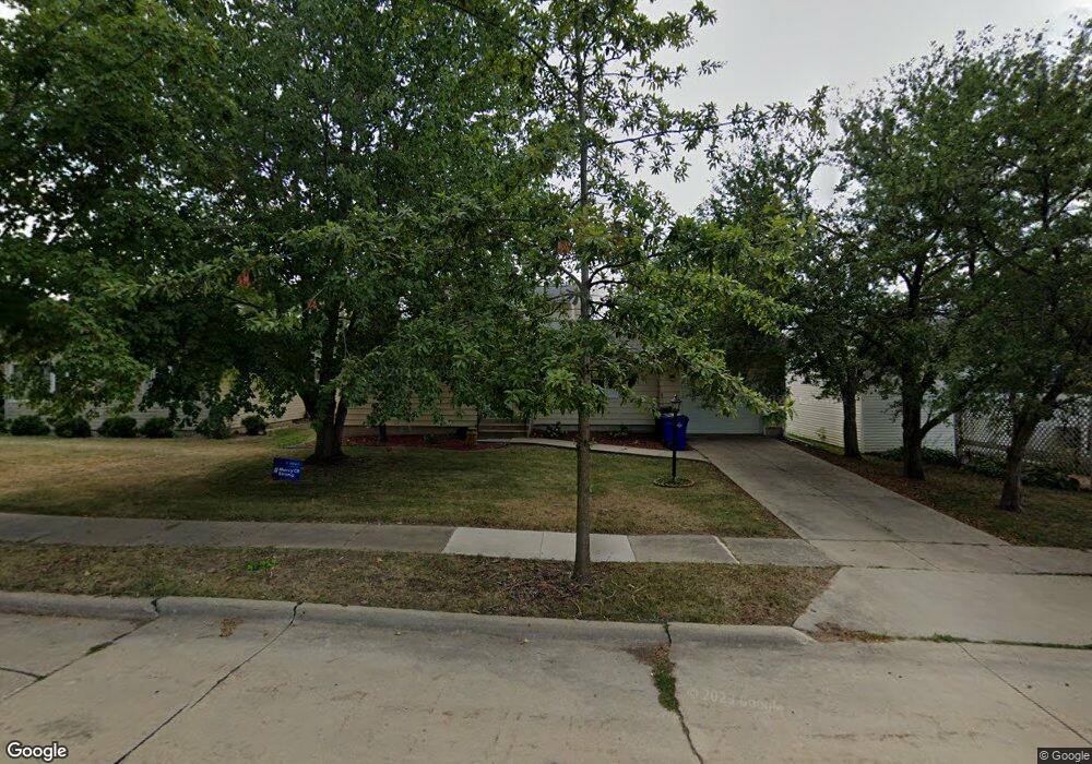
2711 Virginia Dr SE Cedar Rapids, IA 52403
Bever Park NeighborhoodEstimated Value: $228,000 - $282,000
3
Beds
4
Baths
2,136
Sq Ft
$117/Sq Ft
Est. Value
About This Home
This home is located at 2711 Virginia Dr SE, Cedar Rapids, IA 52403 and is currently estimated at $250,385, approximately $117 per square foot. 2711 Virginia Dr SE is a home located in Linn County with nearby schools including Grant Wood Elementary School, Summit Elementary School, and McKinley STEAM Academy.
Ownership History
Date
Name
Owned For
Owner Type
Purchase Details
Closed on
Oct 26, 2006
Sold by
Clark William and Clark Kathleen A
Bought by
Spiller Sharon L
Current Estimated Value
Home Financials for this Owner
Home Financials are based on the most recent Mortgage that was taken out on this home.
Original Mortgage
$114,525
Outstanding Balance
$68,653
Interest Rate
6.45%
Mortgage Type
Unknown
Estimated Equity
$181,732
Create a Home Valuation Report for This Property
The Home Valuation Report is an in-depth analysis detailing your home's value as well as a comparison with similar homes in the area
Home Values in the Area
Average Home Value in this Area
Purchase History
| Date | Buyer | Sale Price | Title Company |
|---|---|---|---|
| Spiller Sharon L | $167,500 | None Available |
Source: Public Records
Mortgage History
| Date | Status | Borrower | Loan Amount |
|---|---|---|---|
| Open | Spiller Sharon L | $114,525 |
Source: Public Records
Tax History Compared to Growth
Tax History
| Year | Tax Paid | Tax Assessment Tax Assessment Total Assessment is a certain percentage of the fair market value that is determined by local assessors to be the total taxable value of land and additions on the property. | Land | Improvement |
|---|---|---|---|---|
| 2025 | $3,254 | $227,000 | $33,700 | $193,300 |
| 2024 | $3,790 | $211,100 | $30,900 | $180,200 |
| 2023 | $3,790 | $201,400 | $29,500 | $171,900 |
| 2022 | $3,452 | $188,600 | $29,500 | $159,100 |
| 2021 | $3,562 | $175,600 | $26,700 | $148,900 |
| 2020 | $3,562 | $170,000 | $22,500 | $147,500 |
| 2019 | $3,340 | $163,500 | $22,500 | $141,000 |
| 2018 | $3,244 | $163,500 | $22,500 | $141,000 |
| 2017 | $3,370 | $158,500 | $22,500 | $136,000 |
| 2016 | $3,370 | $158,500 | $22,500 | $136,000 |
| 2015 | $3,438 | $161,545 | $22,477 | $139,068 |
| 2014 | $3,438 | $165,778 | $22,477 | $143,301 |
| 2013 | $3,452 | $165,778 | $22,477 | $143,301 |
Source: Public Records
Map
Nearby Homes
- 637 Grant Wood Dr SE
- 654 26th St SE
- 700 Memorial Dr SE
- 705 Grant Wood Dr SE
- 431 30th St SE
- 505 Forest Dr SE
- 2600 Mount Vernon Rd SE
- 435 Forest Dr SE
- 2323 Upland Dr SE
- 914 25th St SE
- 2700 Mount Vernon Rd SE
- 639 32nd St SE
- 3200 Mound Ave SE
- 2420 11th Ave SE
- 2251 Bever Ave SE
- 1117 Crestview Dr SE
- 520 22nd St SE
- 3223 Mound Ave SE
- 510 Knollwood Dr SE
- 1135 Crestview Dr SE
- 2717 Virginia Dr SE
- 512 Memorial Dr SE
- 526 Memorial Dr SE
- 2721 Virginia Dr SE
- 2718 Meadowbrook Dr SE
- 2710 Meadowbrook Dr SE
- 2724 Meadowbrook Dr SE
- 530 Memorial Dr SE
- 506 Memorial Dr SE
- 2725 Virginia Dr SE
- 2718 Virginia Dr SE
- 2730 Meadowbrook Dr SE
- 2722 Virginia Dr SE
- 2729 Virginia Dr SE
- 440 Memorial Dr SE
- 2726 Virginia Dr SE
- 2646 Meadowbrook Dr SE
- 2740 Meadowbrook Dr SE
- 513 Memorial Dr SE
- 511 Memorial Dr SE