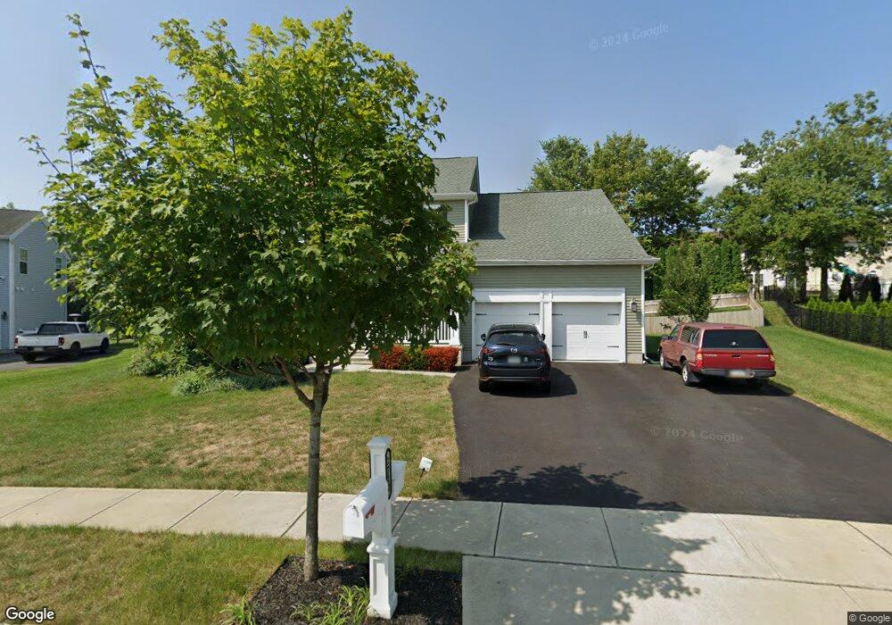
2712 Homestead Dr Unit Lot68 Easton, PA 18040
Estimated Value: $588,379 - $609,000
4
Beds
3
Baths
2,694
Sq Ft
$223/Sq Ft
Est. Value
About This Home
This home is located at 2712 Homestead Dr Unit Lot68, Easton, PA 18040 and is currently estimated at $600,095, approximately $222 per square foot. 2712 Homestead Dr Unit Lot68 is a home located in Northampton County with nearby schools including Forks El School, Easton Area Middle School, and Easton Area High School.
Ownership History
Date
Name
Owned For
Owner Type
Purchase Details
Closed on
May 12, 2021
Sold by
Schutt John E and Schutt Tina L
Bought by
Carver Jeffrey and Carver Michelle
Current Estimated Value
Home Financials for this Owner
Home Financials are based on the most recent Mortgage that was taken out on this home.
Original Mortgage
$364,000
Outstanding Balance
$329,875
Interest Rate
3.1%
Mortgage Type
New Conventional
Estimated Equity
$270,220
Purchase Details
Closed on
Oct 10, 2017
Sold by
Segal & Morel At Forks Township X Llc
Bought by
Schutt John E and Schutt Tina L
Home Financials for this Owner
Home Financials are based on the most recent Mortgage that was taken out on this home.
Original Mortgage
$184,000
Interest Rate
3.78%
Mortgage Type
New Conventional
Create a Home Valuation Report for This Property
The Home Valuation Report is an in-depth analysis detailing your home's value as well as a comparison with similar homes in the area
Home Values in the Area
Average Home Value in this Area
Purchase History
| Date | Buyer | Sale Price | Title Company |
|---|---|---|---|
| Carver Jeffrey | $455,000 | First United Land Transfer I | |
| Schutt John E | $379,745 | Land Services Usa Inc |
Source: Public Records
Mortgage History
| Date | Status | Borrower | Loan Amount |
|---|---|---|---|
| Open | Carver Jeffrey | $364,000 | |
| Previous Owner | Schutt John E | $184,000 |
Source: Public Records
Tax History Compared to Growth
Tax History
| Year | Tax Paid | Tax Assessment Tax Assessment Total Assessment is a certain percentage of the fair market value that is determined by local assessors to be the total taxable value of land and additions on the property. | Land | Improvement |
|---|---|---|---|---|
| 2025 | $1,305 | $120,800 | $25,000 | $95,800 |
| 2024 | $10,585 | $120,800 | $25,000 | $95,800 |
| 2023 | $10,424 | $120,800 | $25,000 | $95,800 |
| 2022 | $10,266 | $120,800 | $25,000 | $95,800 |
| 2021 | $10,232 | $120,800 | $25,000 | $95,800 |
| 2020 | $10,226 | $120,800 | $25,000 | $95,800 |
| 2019 | $10,080 | $120,800 | $25,000 | $95,800 |
| 2018 | $828 | $10,100 | $10,100 | $0 |
| 2017 | $803 | $10,100 | $10,100 | $0 |
| 2016 | -- | $18,700 | $18,700 | $0 |
| 2015 | -- | $18,700 | $18,700 | $0 |
| 2014 | -- | $18,700 | $18,700 | $0 |
Source: Public Records
Map
Nearby Homes
- 2733 Meadow Lane Dr
- 510 Ramblewood Dr
- 780 Ramblewood Dr
- 2665 Pond Dr
- 402 Newlins Rd E
- 2313 Hollow View Dr
- 257 Park Ridge Dr
- 202 Park Ridge Dr
- 2435 Burgundy Ln
- 2470 Sonoma Dr Unit 60
- 2478 Sonoma Dr Unit 59
- Talia Plan at Riverview Estates - Riverview Estates Active Adult
- 881 Veneto Ct Unit 61
- 2430 Sonoma Dr Unit 92
- 868 Veneto Ct Unit 66
- 868 Veneto Ct
- 2430 Sonoma Ln
- 286 Park Ridge Dr
- 2121 Huntington Ln
- 2037 Huntington Ln
- 2712 Homestead Dr
- 2726 Homestead Dr
- 2698 Homestead Dr
- 2685 Lower Way
- 2715 Lower Way
- 2675 Lower Way
- 2695 Lower Way
- 2665 Lower Way
- 2705 Lower Way
- 2687 Homestead Dr
- 2655 Lower Way
- 2684 Homestead Dr
- 3745 Homestead Dr
- 2673 Homestead Dr
- 2700 Lower Way
- 2710 Lower Way
- 2740 Homestead Dr
- 2645 Lower Way
- 2690 Lower Way
- 2730 Lower Way