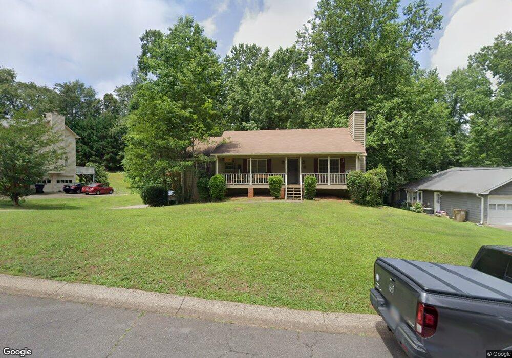
2714 Hawk Trace NE Unit 2 Marietta, GA 30066
Sandy Plains NeighborhoodEstimated Value: $351,632 - $414,000
3
Beds
2
Baths
1,436
Sq Ft
$272/Sq Ft
Est. Value
About This Home
This home is located at 2714 Hawk Trace NE Unit 2, Marietta, GA 30066 and is currently estimated at $390,658, approximately $272 per square foot. 2714 Hawk Trace NE Unit 2 is a home located in Cobb County with nearby schools including Davis Elementary School, Mabry Middle School, and Lassiter High School.
Ownership History
Date
Name
Owned For
Owner Type
Purchase Details
Closed on
Oct 28, 1998
Sold by
Weaver Weaver Z and Weaver Linda B
Bought by
Decker Michael T and Decker Darlene C
Current Estimated Value
Home Financials for this Owner
Home Financials are based on the most recent Mortgage that was taken out on this home.
Original Mortgage
$101,500
Interest Rate
6.87%
Mortgage Type
New Conventional
Create a Home Valuation Report for This Property
The Home Valuation Report is an in-depth analysis detailing your home's value as well as a comparison with similar homes in the area
Home Values in the Area
Average Home Value in this Area
Purchase History
| Date | Buyer | Sale Price | Title Company |
|---|---|---|---|
| Decker Michael T | $126,900 | -- |
Source: Public Records
Mortgage History
| Date | Status | Borrower | Loan Amount |
|---|---|---|---|
| Previous Owner | Decker Michael T | $101,500 |
Source: Public Records
Tax History Compared to Growth
Tax History
| Year | Tax Paid | Tax Assessment Tax Assessment Total Assessment is a certain percentage of the fair market value that is determined by local assessors to be the total taxable value of land and additions on the property. | Land | Improvement |
|---|---|---|---|---|
| 2025 | $725 | $147,932 | $32,000 | $115,932 |
| 2024 | $3,308 | $147,932 | $32,000 | $115,932 |
| 2023 | $2,312 | $127,056 | $29,600 | $97,456 |
| 2022 | $2,620 | $115,252 | $22,000 | $93,252 |
| 2021 | $2,183 | $95,292 | $12,800 | $82,492 |
| 2020 | $2,183 | $95,292 | $12,800 | $82,492 |
| 2019 | $2,129 | $92,812 | $10,800 | $82,012 |
| 2018 | $1,582 | $67,852 | $10,000 | $57,852 |
| 2017 | $1,531 | $67,852 | $10,000 | $57,852 |
| 2016 | $1,318 | $58,024 | $10,000 | $48,024 |
| 2015 | $1,258 | $54,024 | $12,000 | $42,024 |
| 2014 | $1,268 | $54,024 | $0 | $0 |
Source: Public Records
Map
Nearby Homes
- 4887 Raven Way NE
- 2768 Hawk Trace Ct NE
- 2874 S Cherokee Ln
- The Arlington Plan at Tanglewood
- The Alston A Plan at Tanglewood
- 383 Tillman Pass
- 3025 S Cherokee Ln
- 2958 Forest Chase Terrace NE
- 209 Lakestone Pkwy
- 2423 Turtle Crossing NE
- 2842 Forest Chase Dr NE
- 1013 Liberty Springs Dr
- 461 Maypop Ln
- 255 Wild Ginger Bend
- 310 Lauren Ln
- 449 Maypop Ln
- 444 Maypop Ln
- 2712 Hawk Trace NE
- 2716 Hawk Trace NE
- 4896 Raven Way NE
- 4898 Raven Way NE
- 2721 Hawk Trace NE
- 2723 Hawk Trace NE
- 2710 Hawk Trace NE
- 4894 Raven Way NE
- 2718 Hawk Trace NE
- 4900 Raven Way NE
- 2479 Hawk Trace NE
- 0 Raven Way NE Unit 8065015
- 0 Raven Way NE Unit 3263763
- 0 Raven Way NE Unit 8969691
- 2720 Hawk Trace NE
- 2719 Hawk Trace NE
- 4892 Raven Way NE
- 2708 Hawk Trace NE
- 2725 Hawk Trace NE Unit 2
- 4902 Raven Way NE