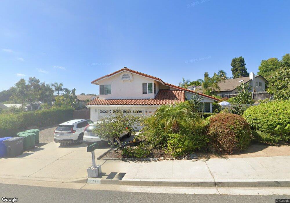
2714 York Rd Carlsbad, CA 92010
Tamarack Point NeighborhoodEstimated Value: $1,233,654 - $1,455,000
3
Beds
3
Baths
1,722
Sq Ft
$778/Sq Ft
Est. Value
About This Home
This home is located at 2714 York Rd, Carlsbad, CA 92010 and is currently estimated at $1,339,414, approximately $777 per square foot. 2714 York Rd is a home located in San Diego County with nearby schools including Hope Elementary School, Calavera Hills Middle, and Carlsbad High School.
Ownership History
Date
Name
Owned For
Owner Type
Purchase Details
Closed on
Jan 20, 2000
Sold by
Patricia M Huesing Theodore T
Bought by
Hantoosh Zohreh
Current Estimated Value
Home Financials for this Owner
Home Financials are based on the most recent Mortgage that was taken out on this home.
Original Mortgage
$195,000
Outstanding Balance
$60,373
Interest Rate
7.5%
Estimated Equity
$1,279,041
Purchase Details
Closed on
Jun 10, 1988
Create a Home Valuation Report for This Property
The Home Valuation Report is an in-depth analysis detailing your home's value as well as a comparison with similar homes in the area
Home Values in the Area
Average Home Value in this Area
Purchase History
| Date | Buyer | Sale Price | Title Company |
|---|---|---|---|
| Hantoosh Zohreh | $300,000 | First American Title | |
| -- | $175,000 | -- |
Source: Public Records
Mortgage History
| Date | Status | Borrower | Loan Amount |
|---|---|---|---|
| Open | Hantoosh Zohreh | $195,000 |
Source: Public Records
Tax History
| Year | Tax Paid | Tax Assessment Tax Assessment Total Assessment is a certain percentage of the fair market value that is determined by local assessors to be the total taxable value of land and additions on the property. | Land | Improvement |
|---|---|---|---|---|
| 2025 | $5,264 | $495,344 | $167,376 | $327,968 |
| 2024 | $5,264 | $485,633 | $164,095 | $321,538 |
| 2023 | $5,237 | $476,112 | $160,878 | $315,234 |
| 2022 | $5,157 | $466,777 | $157,724 | $309,053 |
| 2021 | $5,119 | $457,626 | $154,632 | $302,994 |
| 2020 | $4,693 | $417,235 | $153,047 | $264,188 |
| 2019 | $4,609 | $409,055 | $150,047 | $259,008 |
| 2018 | $4,417 | $401,035 | $147,105 | $253,930 |
| 2017 | $4,345 | $393,172 | $144,221 | $248,951 |
| 2016 | $4,172 | $385,464 | $141,394 | $244,070 |
| 2015 | $4,155 | $379,675 | $139,271 | $240,404 |
| 2014 | $4,087 | $372,238 | $136,543 | $235,695 |
Source: Public Records
Map
Nearby Homes
- 2736 Victoria Ave
- 2726 Naples Ct
- 3492 Corvallis St
- 3467 Corvallis St
- 4375 Stanford St
- 2816 Fairfield Ave
- 2822 Winthrop Ave
- 2808 Winthrop Ave
- 2591 Regent Rd Unit 52
- 2835 Hillsboro Ct
- 3920 Holly Brae Ln
- 2742 Glasgow Dr
- 3442 Celinda Dr
- 3201 Via Pescado
- 3038 Greenwich St
- 3019 Glenbrook St
- 1896 E Pointe Ave
- 3630 Donna Dr
- 3072 Marron Rd
- 4669 Coralwood Cir
Your Personal Tour Guide
Ask me questions while you tour the home.