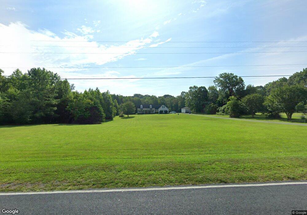
2715 Oddie Rd Salisbury, NC 28146
Estimated Value: $507,931 - $624,000
4
Beds
3
Baths
2,996
Sq Ft
$187/Sq Ft
Est. Value
About This Home
This home is located at 2715 Oddie Rd, Salisbury, NC 28146 and is currently estimated at $558,983, approximately $186 per square foot. 2715 Oddie Rd is a home located in Rowan County with nearby schools including Granite Quarry Elementary School, Charles C Erwin Middle School, and East Rowan High School.
Ownership History
Date
Name
Owned For
Owner Type
Purchase Details
Closed on
Dec 26, 2013
Sold by
Clark Robert William
Bought by
Sloop Everette Wayne and Sloop Amber Katherine
Current Estimated Value
Purchase Details
Closed on
May 13, 2005
Sold by
Freeman Janice B
Bought by
Clark Robert
Home Financials for this Owner
Home Financials are based on the most recent Mortgage that was taken out on this home.
Original Mortgage
$212,000
Interest Rate
5.25%
Mortgage Type
New Conventional
Create a Home Valuation Report for This Property
The Home Valuation Report is an in-depth analysis detailing your home's value as well as a comparison with similar homes in the area
Purchase History
| Date | Buyer | Sale Price | Title Company |
|---|---|---|---|
| Sloop Everette Wayne | $280,000 | None Available | |
| Clark Robert | $265,000 | -- |
Source: Public Records
Mortgage History
| Date | Status | Borrower | Loan Amount |
|---|---|---|---|
| Previous Owner | Clark Robert | $212,000 | |
| Closed | Clark Robert | $39,750 |
Source: Public Records
Tax History
| Year | Tax Paid | Tax Assessment Tax Assessment Total Assessment is a certain percentage of the fair market value that is determined by local assessors to be the total taxable value of land and additions on the property. | Land | Improvement |
|---|---|---|---|---|
| 2025 | $2,373 | $373,697 | $82,813 | $290,884 |
| 2024 | $2,373 | $373,697 | $82,813 | $290,884 |
| 2023 | $2,373 | $373,697 | $82,813 | $290,884 |
| 2022 | $1,923 | $269,850 | $63,188 | $206,662 |
| 2021 | $1,869 | $269,850 | $63,188 | $206,662 |
| 2020 | $1,869 | $269,850 | $63,188 | $206,662 |
| 2019 | $1,869 | $269,850 | $63,188 | $206,662 |
| 2018 | $1,713 | $249,390 | $63,187 | $186,203 |
| 2017 | $1,713 | $249,390 | $63,187 | $186,203 |
| 2016 | $1,713 | $249,390 | $63,187 | $186,203 |
| 2015 | $1,741 | $249,390 | $63,187 | $186,203 |
| 2014 | $1,570 | $228,108 | $63,187 | $164,921 |
Source: Public Records
Map
Nearby Homes
- 0 Stokes Ferry Rd Unit CAR4345686
- 0 Stokes Ferry Rd Unit 1207879
- 930 Gondola Ct
- 930 Gondola Ct Unit 72A
- 245 Castle Keep Rd
- 1082 Kingsway Dr
- 0 Fish Pond Rd
- 125 Stonehaven Ct
- 260 Joy Cir
- 115 East Ave
- 0 Chapparal Dr
- 0 Cemetery Cir Unit CAR4312700
- 306 O C Pine Dr
- 3980 Fish Pond Rd
- 1056 Elljoy Ln
- 0000 Dunns Mountain Rd
- 2050 Lake Rd
- 185 Willow Dr
- 1215 Juniper St
- 205 Willow Dr
Your Personal Tour Guide
Ask me questions while you tour the home.