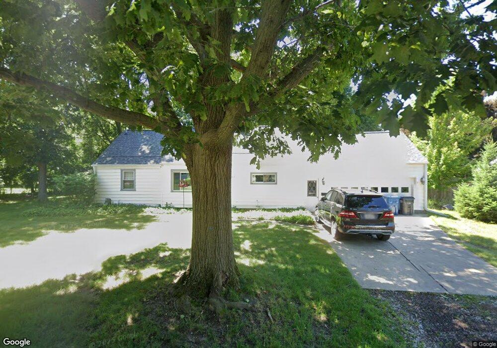
2715 Slater Dr Kalamazoo, MI 49004
Burke Acres NeighborhoodEstimated Value: $172,000 - $217,000
3
Beds
2
Baths
1,118
Sq Ft
$177/Sq Ft
Est. Value
About This Home
This home is located at 2715 Slater Dr, Kalamazoo, MI 49004 and is currently estimated at $197,446, approximately $176 per square foot. 2715 Slater Dr is a home located in Kalamazoo County with nearby schools including Spring Valley Center for Exploration, Hillside Middle School, and Kalamazoo Central High School.
Ownership History
Date
Name
Owned For
Owner Type
Purchase Details
Closed on
Oct 18, 2019
Sold by
Knibbe David and Knibbe Gayle
Bought by
Brown Michael and Brown William
Current Estimated Value
Home Financials for this Owner
Home Financials are based on the most recent Mortgage that was taken out on this home.
Original Mortgage
$139,428
Outstanding Balance
$122,518
Interest Rate
3.65%
Mortgage Type
FHA
Estimated Equity
$74,928
Purchase Details
Closed on
Apr 16, 2009
Sold by
Warrick Daniel
Bought by
Bank Of America National Association
Purchase Details
Closed on
Sep 20, 2006
Sold by
Werner Deborah A
Bought by
Warrick Daniel
Home Financials for this Owner
Home Financials are based on the most recent Mortgage that was taken out on this home.
Original Mortgage
$92,188
Interest Rate
8.7%
Mortgage Type
Purchase Money Mortgage
Purchase Details
Closed on
Jun 2, 2003
Sold by
Werner Deborah A C
Bought by
Werner Franklin K and Werner Deborah A
Create a Home Valuation Report for This Property
The Home Valuation Report is an in-depth analysis detailing your home's value as well as a comparison with similar homes in the area
Home Values in the Area
Average Home Value in this Area
Purchase History
| Date | Buyer | Sale Price | Title Company |
|---|---|---|---|
| Brown Michael | $149,000 | Devon Title Company | |
| Bank Of America National Association | $28,050 | None Available | |
| Warrick Daniel | $115,235 | Chicago Title | |
| Werner Franklin K | $101,000 | Metro |
Source: Public Records
Mortgage History
| Date | Status | Borrower | Loan Amount |
|---|---|---|---|
| Open | Brown Michael | $139,428 | |
| Previous Owner | Warrick Daniel | $92,188 |
Source: Public Records
Tax History Compared to Growth
Tax History
| Year | Tax Paid | Tax Assessment Tax Assessment Total Assessment is a certain percentage of the fair market value that is determined by local assessors to be the total taxable value of land and additions on the property. | Land | Improvement |
|---|---|---|---|---|
| 2025 | $2,817 | $73,300 | $0 | $0 |
| 2024 | $1,573 | $68,800 | $0 | $0 |
| 2023 | $1,499 | $62,100 | $0 | $0 |
| 2022 | $2,555 | $54,700 | $0 | $0 |
| 2021 | $2,470 | $50,900 | $0 | $0 |
| 2020 | $2,419 | $47,500 | $0 | $0 |
| 2019 | $1,774 | $42,000 | $0 | $0 |
| 2018 | $2,365 | $38,300 | $0 | $0 |
| 2017 | $2,481 | $37,500 | $0 | $0 |
| 2016 | $2,481 | $34,400 | $0 | $0 |
| 2015 | $2,481 | $33,700 | $0 | $0 |
| 2014 | $2,481 | $34,700 | $0 | $0 |
Source: Public Records
Map
Nearby Homes
- 3104 Courtlandt Ave
- 2921 Virginia Ave
- 3022 Virginia Ave
- 2356 Mount Olivet Rd
- 2606 Cimarron Dr
- 2215 Brook Dr
- 2535 Gull Rd
- 2228 Regent St
- 2507 Laredo St
- 2105 Gull Rd
- 405 Park Ave
- 248 Devon Ave
- 1042 E Mosel Ave
- 2820 Asbury Ave
- 124 Haymac Dr
- 3011 Riverview Dr
- 1727 Sunnyside Dr
- 1406 Bixby Rd
- 267 Parchmount Ave
- 134 Glendale Blvd
- 2715 Slater Dr
- 2705 Slater Dr
- 2723 Slater Dr
- 2709 Slater Dr
- 2630 Slater Dr
- 2802 Mount Olivet Rd
- 2720 Slater Dr
- 2716 Slater Dr
- 2724 Slater Dr
- 2804 Mount Olivet Rd
- 2732 Slater Dr
- 2740 Mount Olivet Rd
- 2816 Mount Olivet Rd
- 2806 Slater Dr
- 2822 Mount Olivet Rd
- 3029 Mount Olivet Rd
- 0 Mount Olivet Rd Unit M20001785
- 0 Mount Olivet Rd Unit 9186396
- 4023 Mount Olivet Rd
- 2411 Mount Olivet Rd