Estimated Value: $231,000 - $388,000
3
Beds
1
Bath
1,848
Sq Ft
$158/Sq Ft
Est. Value
About This Home
This home is located at 2715 State Route 122 W, Eaton, OH 45320 and is currently estimated at $291,265, approximately $157 per square foot. 2715 State Route 122 W is a home located in Preble County with nearby schools including Hollingsworth East Elementary School, William Bruce Elementary School, and Eaton Middle School.
Ownership History
Date
Name
Owned For
Owner Type
Purchase Details
Closed on
Oct 8, 2019
Sold by
Haber David L
Bought by
Koffer Barry S and Koffer Katelyn D
Current Estimated Value
Home Financials for this Owner
Home Financials are based on the most recent Mortgage that was taken out on this home.
Original Mortgage
$146,700
Outstanding Balance
$128,517
Interest Rate
3.5%
Mortgage Type
Future Advance Clause Open End Mortgage
Estimated Equity
$162,748
Create a Home Valuation Report for This Property
The Home Valuation Report is an in-depth analysis detailing your home's value as well as a comparison with similar homes in the area
Home Values in the Area
Average Home Value in this Area
Purchase History
| Date | Buyer | Sale Price | Title Company |
|---|---|---|---|
| Koffer Barry S | $163,000 | Southwestern Oh Ttl Agcy Box |
Source: Public Records
Mortgage History
| Date | Status | Borrower | Loan Amount |
|---|---|---|---|
| Open | Koffer Barry S | $146,700 |
Source: Public Records
Tax History Compared to Growth
Tax History
| Year | Tax Paid | Tax Assessment Tax Assessment Total Assessment is a certain percentage of the fair market value that is determined by local assessors to be the total taxable value of land and additions on the property. | Land | Improvement |
|---|---|---|---|---|
| 2024 | $2,008 | $62,820 | $18,750 | $44,070 |
| 2023 | $2,008 | $62,820 | $18,750 | $44,070 |
| 2022 | $1,947 | $44,420 | $8,610 | $35,810 |
| 2021 | $2,042 | $51,210 | $15,400 | $35,810 |
| 2020 | $1,975 | $51,210 | $15,400 | $35,810 |
| 2019 | $2,039 | $48,870 | $14,670 | $34,200 |
| 2018 | $5,278 | $220,350 | $186,150 | $34,200 |
| 2017 | $5,304 | $220,350 | $186,150 | $34,200 |
| 2016 | $5,598 | $184,420 | $156,030 | $28,390 |
| 2014 | $3,941 | $192,960 | $155,960 | $37,000 |
| 2013 | $3,941 | $161,735 | $124,740 | $36,995 |
Source: Public Records
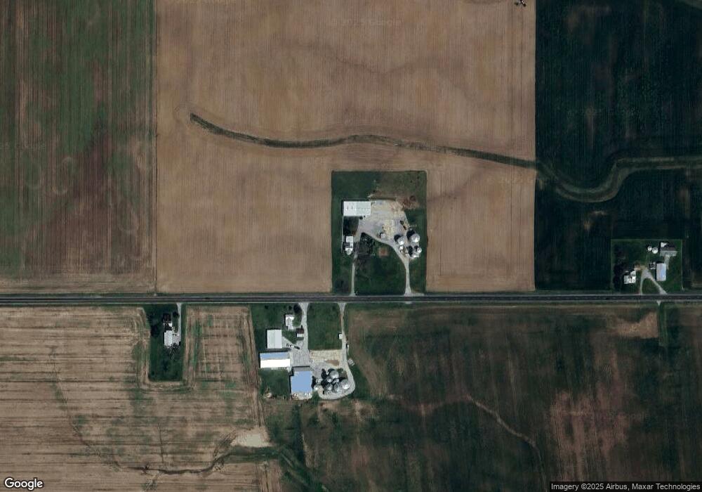
Map
Nearby Homes
- 0 & 00 Washington Jackson Rd
- 636 Skodborg Dr
- 115 Woodland Dr
- 0 Washington Jackson Rd Unit 1516310
- 331 W Chicago St
- 405 Walnut St
- 230 W Spring St
- 210 W Spring St
- 124 Deem St
- 111 W High St
- 233 N Barron St
- 115 E Decatur St
- 919 N Barron St
- 125 E Decatur St
- 401 Romadoor Ave Unit 511 (BLDG 12)
- 0-00 Washington Jackson Rd
- 519 Romadoor Ave Unit 520
- 105 Leatherman Place
- 612 N Cherry St
- 219 E High St
- 11459 St Rt 177
- 433 444 Brande
- 2754 State Route 122 W
- 2856 State Route 122 W
- 2481 State Route 122 W
- 3073 State Route 122 W
- 2255 State Route 122 W
- 3119 Ohio 122
- 2221 State Route 122 W
- 3216 State Route 122 W
- 464 Winters Rd
- 439 Winters Rd
- 0 Longman Rd Unit 752680
- 0 Longman Rd Unit 1475995
- 1 St Clair St E
- 1 St Rt 732
- 0 Longman Rd Unit 700193
- 0 Longman Rd Unit 863940
- 0 Longman Rd Unit 10032708
- 1973 State Route 122 W