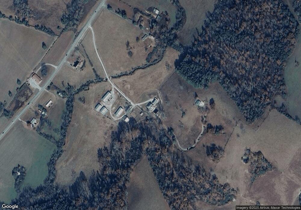
27152 Us 127 Dunlap, TN 37327
Estimated Value: $273,749 - $717,000
--
Bed
2
Baths
2,245
Sq Ft
$222/Sq Ft
Est. Value
About This Home
This home is located at 27152 Us 127, Dunlap, TN 37327 and is currently estimated at $498,937, approximately $222 per square foot. 27152 Us 127 is a home located in Bledsoe County with nearby schools including Bledsoe County High School.
Ownership History
Date
Name
Owned For
Owner Type
Purchase Details
Closed on
Nov 19, 2007
Sold by
Roberson Eddie Ray
Bought by
Roberson Zacharlee F
Current Estimated Value
Purchase Details
Closed on
Oct 23, 1991
Bought by
Roberson Eddie Ray
Purchase Details
Closed on
Feb 20, 1991
Bought by
Roberson Eddie Ray
Create a Home Valuation Report for This Property
The Home Valuation Report is an in-depth analysis detailing your home's value as well as a comparison with similar homes in the area
Home Values in the Area
Average Home Value in this Area
Purchase History
| Date | Buyer | Sale Price | Title Company |
|---|---|---|---|
| Roberson Zacharlee F | $150,000 | -- | |
| Roberson Eddie Ray | $100 | -- | |
| Roberson Eddie Ray | -- | -- |
Source: Public Records
Tax History Compared to Growth
Tax History
| Year | Tax Paid | Tax Assessment Tax Assessment Total Assessment is a certain percentage of the fair market value that is determined by local assessors to be the total taxable value of land and additions on the property. | Land | Improvement |
|---|---|---|---|---|
| 2025 | $1,068 | $51,775 | $0 | $0 |
| 2024 | $1,068 | $51,775 | $3,325 | $48,450 |
| 2023 | $1,068 | $51,775 | $3,325 | $48,450 |
| 2022 | $970 | $51,775 | $3,325 | $48,450 |
| 2021 | $1,012 | $42,425 | $2,475 | $39,950 |
| 2020 | $1,012 | $42,425 | $2,475 | $39,950 |
| 2019 | $1,012 | $42,425 | $2,475 | $39,950 |
| 2018 | $936 | $42,425 | $2,475 | $39,950 |
| 2017 | $936 | $42,425 | $2,475 | $39,950 |
| 2016 | $942 | $41,550 | $3,950 | $37,600 |
| 2015 | $921 | $41,550 | $3,950 | $37,600 |
| 2014 | $921 | $41,550 | $3,950 | $37,600 |
Source: Public Records
Map
Nearby Homes
- 0 Old State Highway 28
- 3 Lusk Loop Rd
- 459 Pope Rd
- 25066 US 127
- 18 Old State Highway 28
- 280 Chapman Rd
- 0 Harwood Ln Unit RTC2987060
- 000 Harwood Ln
- 0 Meadow View
- 442 Billingsley Rd
- 97 W Bluff Rd
- 0 Bowater Rd S Unit 1517780
- 0 Bowater Rd S Unit 221838
- 0 Bowater Rd S Unit 1310981
- 400 Maple Trail
- 264 Harlee Vista Rd
- 235 Allison Rd
- 816 Brock Hollow Rd
- 01 Brock Hollow Rd
- 0 Fern Hill Rd Unit 20245388
- 27152 Us 127
- 27160 Us 127
- 1982 Lusk Loop Rd
- 1982 Lusk Loop Rd
- 1934 Lusk Loop Rd
- 2028 Lusk Loop Rd
- 2181 Lusk Loop Rd
- 1896 Lusk Loop Rd
- 340 College Station Mountain Rd
- 5251 Old State Highway 28
- 1864 Lusk Loop Rd
- 1773 Lusk Loop Rd
- 0 Highway 285 Unit 718216
- 5347 Old State Highway 28
- 1828 Lusk Loop Rd
- 5525 Old State Highway 28
- 2218 Lusk Loop Rd
- 3300-5000 Old State Highway 28
- 1516 Old State Highway 28
- 33005000 Old State Highway 28
