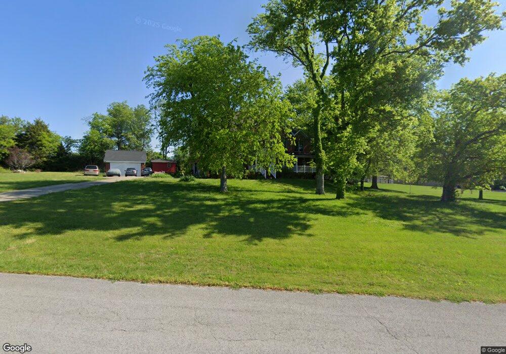
2716 Brenda St Thompsons Station, TN 37179
Estimated Value: $1,174,000 - $1,421,000
--
Bed
5
Baths
3,937
Sq Ft
$320/Sq Ft
Est. Value
About This Home
This home is located at 2716 Brenda St, Thompsons Station, TN 37179 and is currently estimated at $1,259,259, approximately $319 per square foot. 2716 Brenda St is a home located in Williamson County with nearby schools including Thompson's Station Middle School, Summit High School, and Primrose School of Spring Hill.
Ownership History
Date
Name
Owned For
Owner Type
Purchase Details
Closed on
Jan 12, 2006
Sold by
Thoni John P
Bought by
Lewis Floyd Morris and Lewis Elisabeth J
Current Estimated Value
Home Financials for this Owner
Home Financials are based on the most recent Mortgage that was taken out on this home.
Original Mortgage
$338,462
Outstanding Balance
$188,584
Interest Rate
6.22%
Mortgage Type
Fannie Mae Freddie Mac
Estimated Equity
$1,070,675
Create a Home Valuation Report for This Property
The Home Valuation Report is an in-depth analysis detailing your home's value as well as a comparison with similar homes in the area
Home Values in the Area
Average Home Value in this Area
Purchase History
| Date | Buyer | Sale Price | Title Company |
|---|---|---|---|
| Lewis Floyd Morris | $451,283 | None Available |
Source: Public Records
Mortgage History
| Date | Status | Borrower | Loan Amount |
|---|---|---|---|
| Open | Lewis Floyd Morris | $338,462 |
Source: Public Records
Tax History Compared to Growth
Tax History
| Year | Tax Paid | Tax Assessment Tax Assessment Total Assessment is a certain percentage of the fair market value that is determined by local assessors to be the total taxable value of land and additions on the property. | Land | Improvement |
|---|---|---|---|---|
| 2025 | $3,384 | $281,750 | $62,825 | $218,925 |
| 2024 | $3,384 | $170,650 | $38,250 | $132,400 |
| 2023 | $3,384 | $170,650 | $38,250 | $132,400 |
| 2022 | $3,384 | $170,650 | $38,250 | $132,400 |
| 2021 | $3,384 | $170,650 | $38,250 | $132,400 |
| 2020 | $2,844 | $122,450 | $20,725 | $101,725 |
| 2019 | $2,844 | $122,450 | $20,725 | $101,725 |
| 2018 | $2,759 | $122,450 | $20,725 | $101,725 |
| 2017 | $2,734 | $122,450 | $20,725 | $101,725 |
| 2016 | $0 | $118,350 | $20,725 | $97,625 |
| 2015 | -- | $105,950 | $18,750 | $87,200 |
| 2014 | -- | $105,950 | $18,750 | $87,200 |
Source: Public Records
Map
Nearby Homes
- 799 Saint Clair Ave
- 781 Saint Clair Ave
- 316 Huron Dr
- 310 Huron Dr
- 328 Huron Dr
- 2717 Learcrest Ct
- 145 Salton Ln
- 155 Salton Ln
- 157 Salton Ln
- 148 Salton Ln
- 140 Salton Ln
- 147 Salton Ln
- 151 Salton Ln
- 2752 Thompson Station Rd E
- 153 Salton Ln
- 159 Salton Ln
- 149 Salton Ln
- 630 Mayswift Dr
- 2612 Buckner Ln
- 2756 Buckner Ln
- 2720 Brenda St
- 2719 Brenda St
- 2697 Pantall Rd
- 2715 Brenda St
- 2712 Brenda St
- 2711 Brenda St
- 2698 Pantall Rd
- 2696 Pantall Rd
- 2704 Pantall Rd
- 2708 Brenda St
- 2652 Sherrie Ln
- 2707 Brenda St
- 2796 Thompson Station Rd E
- 2710 Pantall Rd
- 2691 Pantall Rd
- 2792 Thompson Station Rd E
- 2715 Pantall Rd
- 2648 Sherrie Ln
- 2788 Thompson Station Rd E
- 2694 Pantall Rd