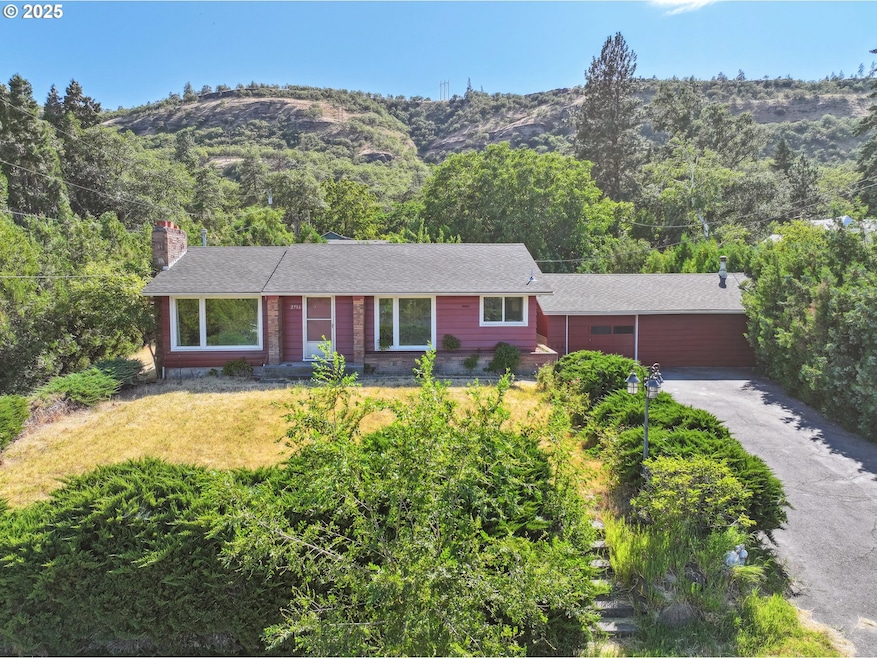
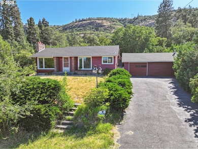
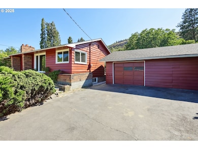
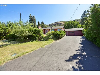
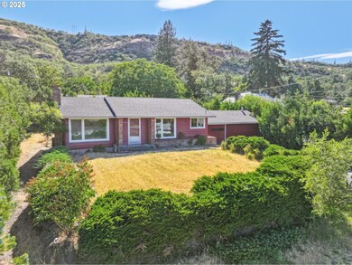

$350,000
- 2 Beds
- 1 Bath
- 792 Sq Ft
- 3316 W 13th St
- the Dalles, OR
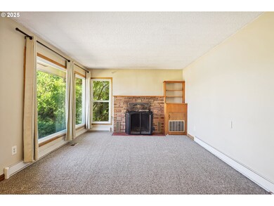
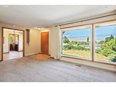
A gardener’s dream retreat with unmatched views and direct access to nature! This charming 2-bedroom home sits above the Columbia River with stunning, protected vistas that can never be built in. The beautifully landscaped yard features terraced rock wall gardens, a patio shaded by a grape arbor, mature fruit trees, and vibrant roses—perfect for quiet mornings or entertaining outdoors. Inside,
Philip Mascher Cascade Hasson Sotheby's International Realty