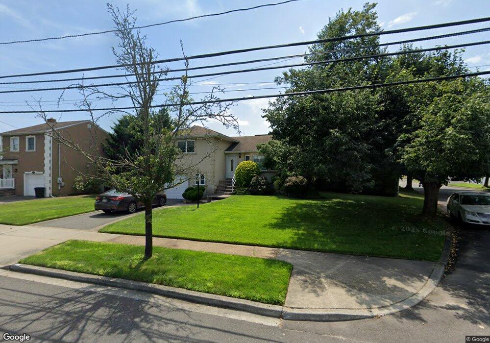
2716 Wynsum Ave Merrick, NY 11566
Estimated Value: $910,000 - $929,110
4
Beds
2
Baths
1,750
Sq Ft
$525/Sq Ft
Est. Value
About This Home
This home is located at 2716 Wynsum Ave, Merrick, NY 11566 and is currently estimated at $919,555, approximately $525 per square foot. 2716 Wynsum Ave is a home located in Nassau County with nearby schools including Burcham Elementary School, Merrick Avenue Middle School, and John F. Kennedy High School.
Ownership History
Date
Name
Owned For
Owner Type
Purchase Details
Closed on
Nov 6, 2013
Sold by
Peter Salmerii and Salmeri Snezana
Bought by
Antignani Joseph and Martinez Melissa
Current Estimated Value
Home Financials for this Owner
Home Financials are based on the most recent Mortgage that was taken out on this home.
Original Mortgage
$428,000
Interest Rate
3.5%
Mortgage Type
Purchase Money Mortgage
Purchase Details
Closed on
May 29, 2002
Sold by
Braverman Herbert
Bought by
Salmeri Peter
Create a Home Valuation Report for This Property
The Home Valuation Report is an in-depth analysis detailing your home's value as well as a comparison with similar homes in the area
Home Values in the Area
Average Home Value in this Area
Purchase History
| Date | Buyer | Sale Price | Title Company |
|---|---|---|---|
| Antignani Joseph | $535,000 | All State Abstract Corp | |
| Salmeri Peter | $425,000 | -- |
Source: Public Records
Mortgage History
| Date | Status | Borrower | Loan Amount |
|---|---|---|---|
| Previous Owner | Antignani Joseph | $428,000 |
Source: Public Records
Tax History Compared to Growth
Tax History
| Year | Tax Paid | Tax Assessment Tax Assessment Total Assessment is a certain percentage of the fair market value that is determined by local assessors to be the total taxable value of land and additions on the property. | Land | Improvement |
|---|---|---|---|---|
| 2025 | $16,726 | $551 | $284 | $267 |
| 2024 | $3,812 | $565 | $291 | $274 |
| 2023 | $14,679 | $568 | $293 | $275 |
| 2022 | $14,679 | $573 | $358 | $215 |
| 2021 | $13,931 | $541 | $279 | $262 |
| 2020 | $6,005 | $819 | $548 | $271 |
| 2019 | $15,579 | $841 | $473 | $368 |
| 2018 | $13,541 | $841 | $0 | $0 |
| 2017 | $8,067 | $825 | $563 | $262 |
| 2016 | $11,597 | $825 | $563 | $262 |
| 2015 | $3,274 | $825 | $563 | $262 |
| 2014 | $3,274 | $825 | $563 | $262 |
| 2013 | $3,098 | $825 | $563 | $262 |
Source: Public Records
Map
Nearby Homes
- 110 Hampton Way
- 2770 Lincoln Blvd
- 2810 Wynsum Ave
- 2072 Brighton Way
- 217 Bayview Ave
- 72 Lake End Rd
- 1360-1370 Merrick Rd
- 23 Bay St
- 163 Wynsum Ave
- 2956 Judith Dr
- 2819 Harbor Rd
- 1945 Byron Rd
- 2884 Bay Dr
- 2863 Harbor Rd
- 2729 Shore Dr
- 119 Ocean Ave
- 2466 Army Place
- 14 Bell Ct
- 2476 Florin Ct
- 2542 Lefferts Place
- 2728 Wynsum Ave
- 5 Avenue C
- 111 Elliot St
- 2356 Wynsum Ave
- 2346 Wynsum Ave
- 338 Wynsum Ave
- 109 Elliot St
- 2129 Avenue C
- 2719 Wynsum Ave
- 351 Wynsum Ave
- 357 Wynsum Ave
- 9 Avenue C
- 2727 Wynsum Ave
- 345 Wynsum Ave
- 2125 Elliot St
- 332 Wynsum Ave
- 2138 Elliot St Unit 2138
- 2736 Wynsum Ave
- 112 Elliot St
- 2695 Kenny Ave