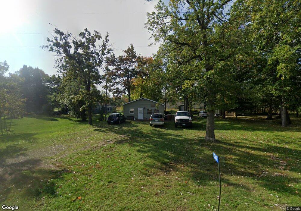
27167 Central St Garrison, MN 56450
Estimated Value: $153,259 - $255,000
2
Beds
1
Bath
576
Sq Ft
$338/Sq Ft
Est. Value
About This Home
This home is located at 27167 Central St, Garrison, MN 56450 and is currently estimated at $194,565, approximately $337 per square foot. 27167 Central St is a home located in Crow Wing County with nearby schools including Garfield Elementary School, Forestview Middle School, and Brainerd Senior High School.
Ownership History
Date
Name
Owned For
Owner Type
Purchase Details
Closed on
Mar 18, 2022
Sold by
Oleson Gordon and Oleson Tammy
Bought by
Oleson Jesse
Current Estimated Value
Home Financials for this Owner
Home Financials are based on the most recent Mortgage that was taken out on this home.
Original Mortgage
$125,900
Outstanding Balance
$117,130
Interest Rate
3.55%
Mortgage Type
New Conventional
Estimated Equity
$77,435
Purchase Details
Closed on
Jun 1, 2014
Bought by
Oleson Gordy
Create a Home Valuation Report for This Property
The Home Valuation Report is an in-depth analysis detailing your home's value as well as a comparison with similar homes in the area
Purchase History
| Date | Buyer | Sale Price | Title Company |
|---|---|---|---|
| Oleson Jesse | $125,900 | -- | |
| Oleson Gordy | $28,500 | -- |
Source: Public Records
Mortgage History
| Date | Status | Borrower | Loan Amount |
|---|---|---|---|
| Open | Oleson Jesse | $125,900 |
Source: Public Records
Tax History
| Year | Tax Paid | Tax Assessment Tax Assessment Total Assessment is a certain percentage of the fair market value that is determined by local assessors to be the total taxable value of land and additions on the property. | Land | Improvement |
|---|---|---|---|---|
| 2025 | $1,186 | $126,000 | $37,700 | $88,300 |
| 2024 | $1,186 | $119,300 | $41,400 | $77,900 |
| 2023 | $872 | $114,800 | $41,700 | $73,100 |
| 2022 | $1,914 | $86,900 | $25,700 | $61,200 |
| 2021 | $1,706 | $71,200 | $24,500 | $46,700 |
| 2020 | $1,680 | $57,800 | $22,100 | $35,700 |
| 2019 | $1,580 | $57,600 | $21,900 | $35,700 |
| 2018 | $1,670 | $52,900 | $21,900 | $31,000 |
| 2017 | $1,408 | $60,500 | $30,300 | $30,200 |
| 2016 | $1,368 | $41,600 | $25,300 | $16,300 |
| 2015 | $1,312 | $38,400 | $23,400 | $15,000 |
| 2014 | $665 | $40,300 | $23,400 | $16,900 |
Source: Public Records
Map
Nearby Homes
- TBD Lilac Dr
- 7925 US Highway 169
- 7919 US Highway 169
- 26491 County Road 26
- 25663 Circle Dr
- 25671 Circle Dr
- 25701 Bambi Ln
- 11563 Beaver Dr
- Lot 12 Beaver Dr
- Lot 14 Beaver Dr
- N/A N A
- TBD Red Oak Dr
- 24555 Emstad Rd
- xxx Highway 169
- 0 Lot 6 Todd Cir Unit NST6814682
- 169 Highway 169
- 6454 Flying Jib
- TBD Chestnut Ln
- 44461 Conifer St
- Lot 22 County Road 138
- 27148 Central St
- 27167 27167 Central St
- 9451 Adams St
- 9490 Tower Rd
- 9490 9490 N Tower-Road-
- 27209 Central St
- 27124 Central St
- 27200 Central St
- 9418 Adams St
- 27232 Central St
- 27254 Central St
- 9531 Washington St
- L3B12 Central St
- 27252 Hayes St
- 27252 27252 Hayes-Street-
- 27268 Central St
- 27077 Monroe St
- 27249 27249 Monroe St
- 27249 Monroe St
- 27270 Hayes St
Your Personal Tour Guide
Ask me questions while you tour the home.