2718 Rock Dam Rd Lincolnton, NC 28092
Estimated Value: $257,000 - $267,000
3
Beds
2
Baths
1,104
Sq Ft
$237/Sq Ft
Est. Value
About This Home
This home is located at 2718 Rock Dam Rd, Lincolnton, NC 28092 and is currently estimated at $262,194, approximately $237 per square foot. 2718 Rock Dam Rd is a home located in Lincoln County with nearby schools including Norris S. Childers Elementary School, West Lincoln Middle, and West Lincoln High School.
Ownership History
Date
Name
Owned For
Owner Type
Purchase Details
Closed on
Oct 2, 2007
Sold by
Santiago Samuel and Araya Santiago Rosibel
Bought by
Santiago Samuel and Santiago Rosibel A
Current Estimated Value
Home Financials for this Owner
Home Financials are based on the most recent Mortgage that was taken out on this home.
Original Mortgage
$110,888
Outstanding Balance
$69,949
Interest Rate
6.41%
Mortgage Type
FHA
Estimated Equity
$192,245
Purchase Details
Closed on
Apr 30, 2002
Bought by
Santiage Samuel and Rosibel Araya Sa
Create a Home Valuation Report for This Property
The Home Valuation Report is an in-depth analysis detailing your home's value as well as a comparison with similar homes in the area
Home Values in the Area
Average Home Value in this Area
Purchase History
| Date | Buyer | Sale Price | Title Company |
|---|---|---|---|
| Santiago Samuel | -- | Archer Land Title | |
| Santiage Samuel | $84,000 | -- |
Source: Public Records
Mortgage History
| Date | Status | Borrower | Loan Amount |
|---|---|---|---|
| Open | Santiago Samuel | $110,888 |
Source: Public Records
Tax History Compared to Growth
Tax History
| Year | Tax Paid | Tax Assessment Tax Assessment Total Assessment is a certain percentage of the fair market value that is determined by local assessors to be the total taxable value of land and additions on the property. | Land | Improvement |
|---|---|---|---|---|
| 2025 | $1,268 | $177,727 | $30,621 | $147,106 |
| 2024 | $1,248 | $177,727 | $30,621 | $147,106 |
| 2023 | $1,243 | $177,727 | $30,621 | $147,106 |
| 2022 | $997 | $116,920 | $25,140 | $91,780 |
| 2021 | $997 | $116,920 | $25,140 | $91,780 |
| 2020 | $859 | $116,920 | $25,140 | $91,780 |
| 2019 | $859 | $116,920 | $25,140 | $91,780 |
| 2018 | $812 | $96,914 | $22,447 | $74,467 |
| 2017 | $711 | $96,914 | $22,447 | $74,467 |
| 2016 | $711 | $96,914 | $22,447 | $74,467 |
| 2015 | $781 | $96,914 | $22,447 | $74,467 |
| 2014 | $820 | $104,817 | $23,567 | $81,250 |
Source: Public Records
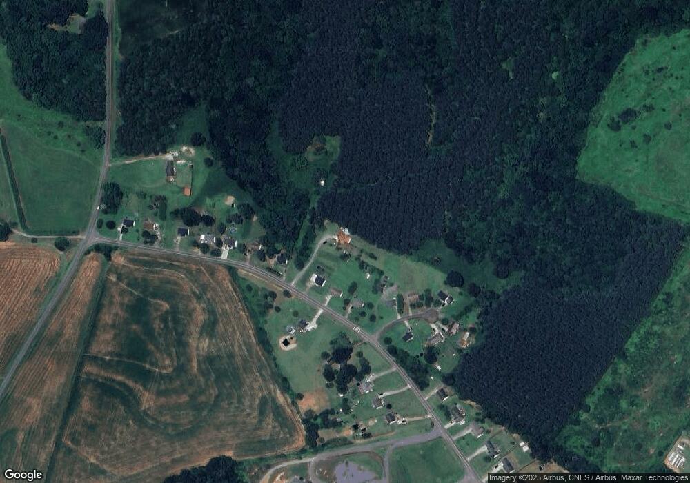
Map
Nearby Homes
- 2508 Rock Dam Rd
- 1259 Haywood Ct
- 3300 Paul Heavner Ln
- 142 Alf Hoover Rd
- 00 Pleasant Grove Church Rd
- 1865 Rockdam Creek Ct
- 0 Hillard Ln
- 1712 Cline Farm Rd
- 958 Hillard Ln
- 3817 Spike Ln
- 000 Blossom Hill Rd Unit 138
- 1783 Reepsville Rd
- 000 Flag Ln Unit 53
- 217 Blossom Hill Rd
- 00 George Brown Rd Unit 10
- 00 George Brown Rd Unit 9
- 00 George Brown Rd Unit 8
- 00 George Brown Rd Unit 7
- 00 George Brown Rd Unit 6
- 00 George Brown Rd Unit 5
- 2704 Rock Dam Rd
- 2724 Rock Dam Rd
- 2722 Rock Dam Rd
- 2684 Rock Dam Rd
- 2736 Rock Dam Rd
- 2578 Ellys St
- 2564 Ellys St
- 2693 Rock Dam Rd
- 2746 Rock Dam Rd
- 2575 Ellys St
- 2756 Rock Dam Rd
- 2673 Rock Dam Rd
- 2673 Rock Dam Rd Unit 4
- 2558 Ellys St
- 2561 Ellys St
- 2766 Rock Dam Rd
- 2557 Ellys St
- 2645 Rock Dam Rd
- 2635 Rock Dam Rd
- 2635 Rock Dam Rd Unit 6