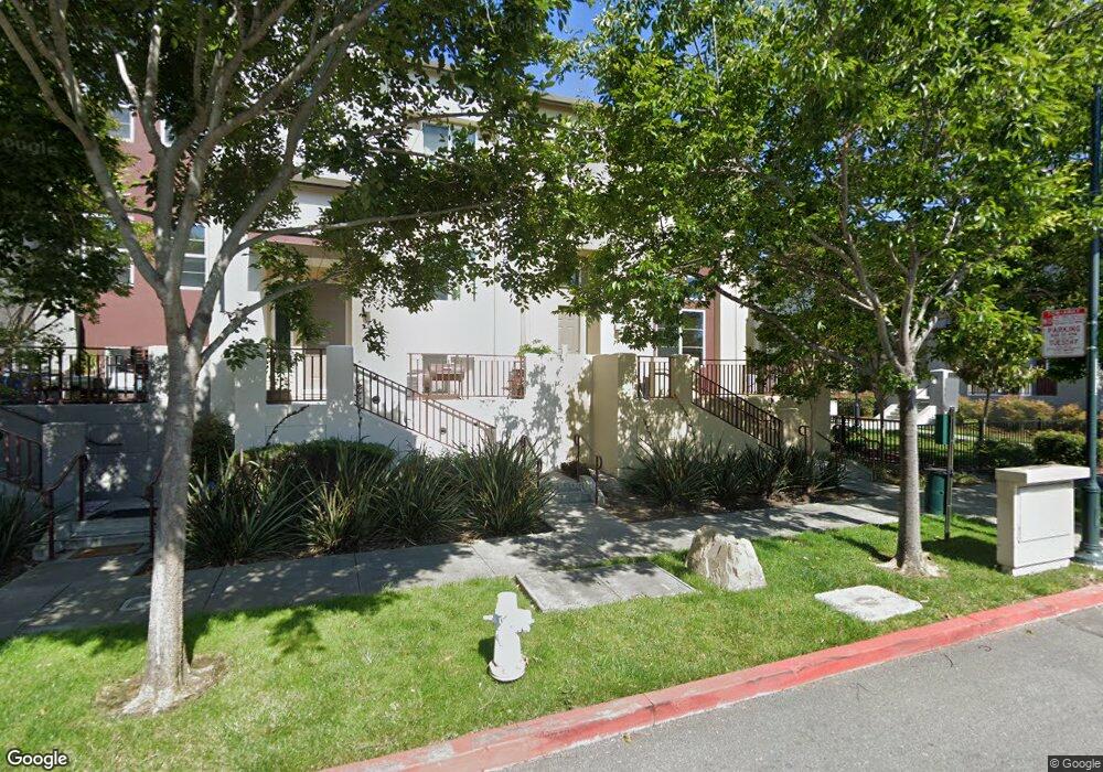
2719 10th St Unit 44 San Pablo, CA 94806
Estimated Value: $478,000 - $550,361
4
Beds
3
Baths
1,699
Sq Ft
$310/Sq Ft
Est. Value
About This Home
This home is located at 2719 10th St Unit 44, San Pablo, CA 94806 and is currently estimated at $527,090, approximately $310 per square foot. 2719 10th St Unit 44 is a home located in Contra Costa County with nearby schools including Bayview Elementary School, Betty Reid Soskin Middle School, and De Anza Senior High School.
Ownership History
Date
Name
Owned For
Owner Type
Purchase Details
Closed on
May 31, 2012
Sold by
Ponthier Jazmin and Ponthier Lizette
Bought by
Ponthier Lizette
Current Estimated Value
Purchase Details
Closed on
Oct 10, 2006
Sold by
Pulte Home Corp
Bought by
Ponthier Jazmin and Ponthier Lizette
Home Financials for this Owner
Home Financials are based on the most recent Mortgage that was taken out on this home.
Original Mortgage
$500,000
Interest Rate
6.21%
Mortgage Type
Purchase Money Mortgage
Create a Home Valuation Report for This Property
The Home Valuation Report is an in-depth analysis detailing your home's value as well as a comparison with similar homes in the area
Home Values in the Area
Average Home Value in this Area
Purchase History
We collect this data history from publicly available records. To have your information removed, we recommend requesting removal directly through your county’s website.
| Date | Buyer | Sale Price | Title Company |
|---|---|---|---|
| Ponthier Lizette | -- | None Available | |
| Ponthier Jazmin | $500,000 | First American Title Co |
Source: Public Records
Mortgage History
We collect this data history from publicly available records. To have your information removed, we recommend requesting removal directly through your county’s website.
| Date | Status | Borrower | Loan Amount |
|---|---|---|---|
| Previous Owner | Ponthier Jazmin | $500,000 |
Source: Public Records
Tax History
| Year | Tax Paid | Tax Assessment Tax Assessment Total Assessment is a certain percentage of the fair market value that is determined by local assessors to be the total taxable value of land and additions on the property. | Land | Improvement |
|---|---|---|---|---|
| 2025 | $6,658 | $425,997 | $119,736 | $306,261 |
| 2024 | $6,367 | $417,645 | $117,389 | $300,256 |
| 2023 | $6,367 | $409,457 | $115,088 | $294,369 |
| 2022 | $6,280 | $401,430 | $112,832 | $288,598 |
| 2021 | $6,252 | $393,560 | $110,620 | $282,940 |
| 2019 | $5,902 | $381,889 | $107,340 | $274,549 |
| 2018 | $5,673 | $374,402 | $105,236 | $269,166 |
| 2017 | $5,533 | $367,062 | $103,173 | $263,889 |
| 2016 | $5,457 | $359,865 | $101,150 | $258,715 |
| 2015 | $4,875 | $312,000 | $87,696 | $224,304 |
| 2014 | $4,836 | $306,500 | $86,151 | $220,349 |
Source: Public Records
Map
Nearby Homes
- 2712 Holly St
- 2872 10th St Unit 70
- 2600 Giant Rd Unit 37
- 2600 Giant Rd Unit 35
- 4 Sheffield Ct
- 8 Sheffield Ct
- 2637 Kelley Ave
- 2857 16th St
- 1111 Stonington Ave
- 113 Westgate Cir
- 2858 17th St
- 1002 Stanton Ave
- 2489 20th St
- 2830 21st St Unit 32
- 14761 San Pablo Ave
- 1911 Miner Ave
- 2190 Giant Rd
- 1620 Stanton Ave
- 1943 Regello Ct
- 1810 Acapulco Dr
- 2715 10th St
- 2718 Holly St
- 2713 10th St
- 2724 Holly St Unit 48
- 2722 Holly St
- 2714 Holly St
- 2711 10th St
- 2728 Holly St
- 2709 10th St Unit 39
- 2710 Holly St
- 2730 Holly St Unit 45
- 2708 Holly St
- 2707 10th St
- 1000 Lake St
- 2802 10th St Unit 3
- 2706 Holly St
- 2705 10th St Unit 37
- 912 Lake St Unit 54
- 914 Lake St
- 916 Lake St
Your Personal Tour Guide
Ask me questions while you tour the home.