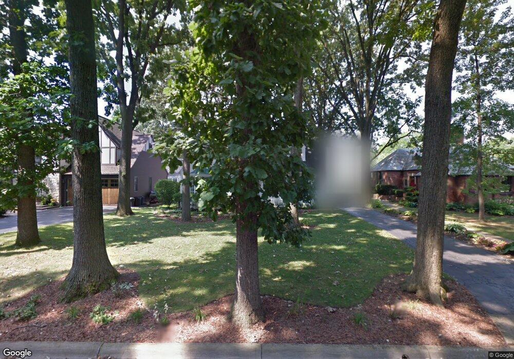
2719 Henthorn Rd Columbus, OH 43221
Estimated Value: $747,000 - $1,113,000
3
Beds
3
Baths
2,602
Sq Ft
$343/Sq Ft
Est. Value
About This Home
This home is located at 2719 Henthorn Rd, Columbus, OH 43221 and is currently estimated at $893,550, approximately $343 per square foot. 2719 Henthorn Rd is a home located in Franklin County with nearby schools including Tremont Elementary School, Jones Middle School, and Upper Arlington High School.
Ownership History
Date
Name
Owned For
Owner Type
Purchase Details
Closed on
Mar 29, 1991
Bought by
Kirby William J and Kirby Susan B
Current Estimated Value
Purchase Details
Closed on
Jun 1, 1984
Create a Home Valuation Report for This Property
The Home Valuation Report is an in-depth analysis detailing your home's value as well as a comparison with similar homes in the area
Home Values in the Area
Average Home Value in this Area
Purchase History
| Date | Buyer | Sale Price | Title Company |
|---|---|---|---|
| Kirby William J | $166,000 | -- | |
| -- | $126,000 | -- |
Source: Public Records
Tax History Compared to Growth
Tax History
| Year | Tax Paid | Tax Assessment Tax Assessment Total Assessment is a certain percentage of the fair market value that is determined by local assessors to be the total taxable value of land and additions on the property. | Land | Improvement |
|---|---|---|---|---|
| 2024 | $12,401 | $214,210 | $87,890 | $126,320 |
| 2023 | $12,248 | $214,200 | $87,885 | $126,315 |
| 2022 | $10,869 | $155,540 | $43,260 | $112,280 |
| 2021 | $9,621 | $155,540 | $43,260 | $112,280 |
| 2020 | $9,536 | $155,540 | $43,260 | $112,280 |
| 2019 | $8,577 | $123,690 | $43,260 | $80,430 |
| 2018 | $8,805 | $123,690 | $43,260 | $80,430 |
| 2017 | $8,511 | $123,690 | $43,260 | $80,430 |
| 2016 | $9,090 | $137,480 | $46,690 | $90,790 |
| 2015 | $9,082 | $137,480 | $46,690 | $90,790 |
| 2014 | $9,092 | $137,480 | $46,690 | $90,790 |
| 2013 | $4,342 | $124,985 | $42,455 | $82,530 |
Source: Public Records
Map
Nearby Homes
- 2615 Northwest Blvd
- 2593 Coventry Rd
- 1909 Inchcliff Rd
- 2569 Chester Rd
- 2648 Chester Rd
- 2585 Westmont Blvd
- 3015 Welsford Rd
- 1887-1891 Kentwell Rd
- 2063 Westover Rd
- 1550 College Hill Dr
- 2276 Northwest Blvd
- 1932 Suffolk Rd Unit 1932
- 2979 Avalon Rd
- 2227 Zollinger Rd
- 3175 Tremont Rd Unit 502
- 3041 Avalon Rd
- 1565 Berkshire Rd
- 1764 Ridgecliff Rd Unit 1764
- 3296 Leighton Rd
- 2370 Zollinger Rd
- 2711 Henthorn Rd
- 2727 Henthorn Rd
- 2703 Henthorn Rd
- 2724 Wexford Rd
- 2718 Wexford Rd
- 2726 Wexford Rd
- 2710 Wexford Rd
- 2718 Henthorn Rd
- 2695 Henthorn Rd
- 2710 Henthorn Rd
- 2726 Henthorn Rd
- 2702 Henthorn Rd
- 2702 Wexford Rd
- 2685 Henthorn Rd
- 2694 Henthorn Rd
- 2694 Wexford Rd
- 2686 Henthorn Rd
- 2715 Wexford Rd
- 2737 Wexford Rd
- 2713 Wexford Rd