Estimated Value: $136,273 - $169,000
Studio
--
Bath
1,337
Sq Ft
$114/Sq Ft
Est. Value
About This Home
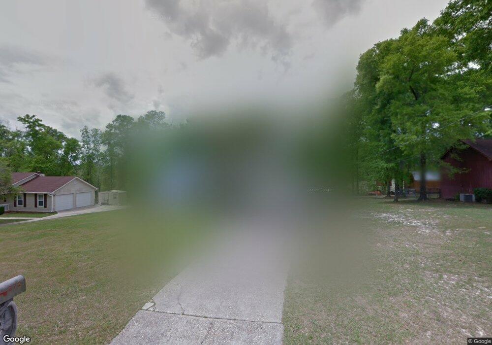
This home is located at 272 Graceland Cir, Ozark, AL 36360 and is currently estimated at $151,818, approximately $113 per square foot. 272 Graceland Cir is a home located in Dale County with nearby schools including Lisenby Primary School, Mixon Intermediate School, and D. A. Smith Middle School.
Ownership History
Date
Name
Owned For
Owner Type
Purchase Details
Closed on
Oct 11, 2023
Sold by
Stanfield Chris
Bought by
Stanfield Chris and Stanfield Melinda Carol
Current Estimated Value
Purchase Details
Closed on
Jun 22, 2023
Sold by
Parker Heidi
Bought by
Stanfield Chris
Purchase Details
Closed on
May 22, 2023
Sold by
Parker Heidi
Bought by
Stanfield Chris
Purchase Details
Closed on
Sep 26, 2020
Sold by
Stanfield Chris and Parker Heidi
Bought by
Stanfield Chris
Create a Home Valuation Report for This Property
The Home Valuation Report is an in-depth analysis detailing your home's value as well as a comparison with similar homes in the area
Purchase History
| Date | Buyer | Sale Price | Title Company |
|---|---|---|---|
| Stanfield Chris | $80,000 | None Listed On Document | |
| Stanfield Chris | -- | None Listed On Document | |
| Stanfield Chris | $80,000 | None Listed On Document | |
| Stanfield Chris | -- | None Listed On Document | |
| Stanfield Chris | $80,000 | None Listed On Document |
Source: Public Records
Tax History
| Year | Tax Paid | Tax Assessment Tax Assessment Total Assessment is a certain percentage of the fair market value that is determined by local assessors to be the total taxable value of land and additions on the property. | Land | Improvement |
|---|---|---|---|---|
| 2024 | $906 | $16,780 | $760 | $16,020 |
| 2023 | $793 | $14,360 | $560 | $13,800 |
| 2022 | $556 | $12,080 | $12,080 | $0 |
| 2021 | $515 | $11,260 | $960 | $10,300 |
| 2020 | $515 | $11,260 | $960 | $10,300 |
| 2019 | $515 | $11,260 | $960 | $10,300 |
| 2018 | $482 | $10,620 | $960 | $9,660 |
| 2017 | $482 | $10,620 | $960 | $9,660 |
| 2016 | $498 | $10,940 | $960 | $9,980 |
| 2015 | $498 | $10,940 | $960 | $9,980 |
| 2014 | $490 | $10,780 | $960 | $9,820 |
| 2013 | $486 | $10,780 | $960 | $9,820 |
Source: Public Records
Map
Nearby Homes
- 2.75 acres Whittle Hudson Rd
- TBD Whittle Hudson Rd
- 9+-ac Whittle Hudson Rd
- 1152 Whittle Hudson Rd
- 266 Ashley Dr
- 353 Juniper Dr
- 142 Whittle Hudson Rd
- 1692 Will Logan Rd
- 161 Sanford Place
- 572 Sharon Ln
- 347 Sunny Acres Rd
- 2169 Will Logan Rd
- 348 Sharon Ln
- 511 Ben St
- 284 Alec Cir
- 267 Barbara Dr
- 445 Deer Path Farms Rd
- 3013 N County Road 21
- 615 Rolling Hills Dr
- 106 Greenwood Ct
- 250 Graceland Cir
- 288 Graceland Cir
- 247 Graceland Cir
- 267 Graceland Cir
- 287 Graceland Cir
- 205 Graceland Cir
- 205 Graceland Cir
- 212 Graceland Cir
- 233 Graceland Cir
- 295 Graceland Cir
- 186 Graceland Cir
- 185 Graceland Cir
- 162 Graceland Cir
- 251 Keisha Cir
- 251 Keisha Cir
- 167 Graceland Cir
- 733 Whittle Hudson Rd
- 873 Whittle Hudson Rd
- 709 Whittle Hudson Rd
- 223 Keisha Cir
Your Personal Tour Guide
Ask me questions while you tour the home.