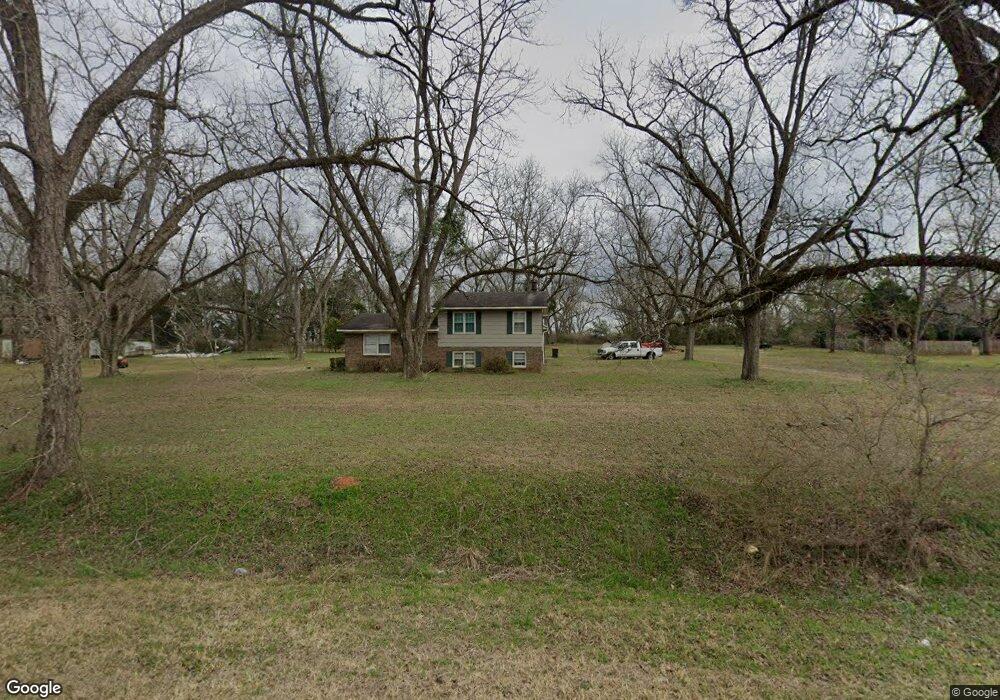
272 Howard Johnson Rd Americus, GA 31719
Estimated Value: $155,000 - $235,000
3
Beds
2
Baths
1,632
Sq Ft
$112/Sq Ft
Est. Value
About This Home
This home is located at 272 Howard Johnson Rd, Americus, GA 31719 and is currently estimated at $182,688, approximately $111 per square foot. 272 Howard Johnson Rd is a home located in Sumter County with nearby schools including Sumter County Primary School, Sumter County Elementary School, and Sumter County Middle School.
Ownership History
Date
Name
Owned For
Owner Type
Purchase Details
Closed on
Feb 16, 2000
Sold by
Woods Craig A
Bought by
Steiner Stanley R
Current Estimated Value
Purchase Details
Closed on
Dec 24, 1996
Sold by
Young Donald E and Young Be
Bought by
Woods Craig A
Purchase Details
Closed on
Aug 27, 1992
Sold by
Middleton Beth B
Bought by
Young Donald E and Young Be
Purchase Details
Closed on
May 19, 1992
Sold by
Hood Beth B
Bought by
Middleton Beth B
Purchase Details
Closed on
Apr 29, 1989
Bought by
Hood Beth B
Create a Home Valuation Report for This Property
The Home Valuation Report is an in-depth analysis detailing your home's value as well as a comparison with similar homes in the area
Purchase History
| Date | Buyer | Sale Price | Title Company |
|---|---|---|---|
| Steiner Stanley R | $73,000 | -- | |
| Woods Craig A | $65,500 | -- | |
| Young Donald E | $45,000 | -- | |
| Middleton Beth B | -- | -- | |
| Hood Beth B | -- | -- |
Source: Public Records
Tax History
| Year | Tax Paid | Tax Assessment Tax Assessment Total Assessment is a certain percentage of the fair market value that is determined by local assessors to be the total taxable value of land and additions on the property. | Land | Improvement |
|---|---|---|---|---|
| 2025 | $1,597 | $38,268 | $3,600 | $34,668 |
| 2024 | $1,597 | $38,268 | $3,600 | $34,668 |
| 2023 | $1,561 | $38,268 | $3,600 | $34,668 |
| 2022 | $1,561 | $38,268 | $3,600 | $34,668 |
| 2021 | $1,563 | $38,268 | $3,600 | $34,668 |
| 2020 | $1,602 | $38,268 | $3,600 | $34,668 |
| 2019 | $1,531 | $38,268 | $3,600 | $34,668 |
| 2018 | $1,531 | $38,268 | $3,600 | $34,668 |
| 2017 | $1,531 | $38,268 | $3,600 | $34,668 |
| 2016 | $1,532 | $38,268 | $3,600 | $34,668 |
| 2015 | $1,617 | $39,828 | $3,600 | $36,228 |
| 2014 | $1,619 | $39,828 | $3,600 | $36,228 |
| 2013 | -- | $39,828 | $3,600 | $36,228 |
Source: Public Records
Map
Nearby Homes
- Lot 38 Wolf Creek Dr
- 171 Labrador Trail
- 207 Wolf Creek Dr
- Lot 73 & 74 Wolf Creek Dr
- 240-248 James Hart Rd
- 154 Lawhorn Cir Unit Tuck
- 195 Horseshoe Cir
- 130 Mallard Ln
- 100 Odum Rd
- 215 Mockingbird Dr
- 205 U S 19
- 000 U S Highway 19
- 914 Adderton St
- 601 Youngs Mill Rd
- 1708 Armory Dr
- 302 Patton Dr
- 633 S Hampton St
- 406 S Hampton St
- 732 McGarrah St
- 402 Rawley Rd
- 264 Howard Johnson Rd
- 284 Howard Johnson Rd
- 543 McMath Mill Rd
- 252 Howard Johnson Rd
- 521 McMath Mill Rd
- 246 Howard Johnson Rd
- 538 McMath Mill Rd
- 242 Howard Johnson Rd
- 232 Howard Johnson Rd
- 299 Howard Johnson Rd
- 498 McMath Mill Rd
- 213 Howard Johnson Rd
- 226 Howard Johnson Rd
- 212 Howard Johnson Rd
- 494 McMath Mill Rd
- 206 Howard Johnson Rd
- 211 Howard Johnson Rd
- Lot 80 Wolf Creek McMath Mill Rd
- 202 Howard Johnson Rd
- 110 Wolf Creek Dr
Your Personal Tour Guide
Ask me questions while you tour the home.