272 Rattlesnake Island Alton Bay, NH 03810
Estimated Value: $643,000 - $1,305,000
2
Beds
2
Baths
1,303
Sq Ft
$729/Sq Ft
Est. Value
About This Home
This home is located at 272 Rattlesnake Island, Alton Bay, NH 03810 and is currently estimated at $949,514, approximately $728 per square foot. 272 Rattlesnake Island is a home with nearby schools including Alton Central School (Elem) and Prospect Mountain High School.
Ownership History
Date
Name
Owned For
Owner Type
Purchase Details
Closed on
Mar 22, 2010
Sold by
David A Dietrich Ret
Bought by
Dawson Daryl C
Current Estimated Value
Home Financials for this Owner
Home Financials are based on the most recent Mortgage that was taken out on this home.
Original Mortgage
$360,000
Outstanding Balance
$239,434
Interest Rate
5.05%
Mortgage Type
Purchase Money Mortgage
Estimated Equity
$710,080
Create a Home Valuation Report for This Property
The Home Valuation Report is an in-depth analysis detailing your home's value as well as a comparison with similar homes in the area
Home Values in the Area
Average Home Value in this Area
Purchase History
| Date | Buyer | Sale Price | Title Company |
|---|---|---|---|
| Dawson Daryl C | $450,000 | -- |
Source: Public Records
Mortgage History
| Date | Status | Borrower | Loan Amount |
|---|---|---|---|
| Open | Dawson Daryl C | $360,000 |
Source: Public Records
Tax History Compared to Growth
Tax History
| Year | Tax Paid | Tax Assessment Tax Assessment Total Assessment is a certain percentage of the fair market value that is determined by local assessors to be the total taxable value of land and additions on the property. | Land | Improvement |
|---|---|---|---|---|
| 2024 | $6,772 | $521,700 | $387,100 | $134,600 |
| 2022 | $5,932 | $521,700 | $387,100 | $134,600 |
| 2021 | $5,937 | $521,700 | $387,100 | $134,600 |
| 2020 | $6,734 | $482,700 | $296,500 | $186,200 |
| 2019 | $6,039 | $482,700 | $296,500 | $186,200 |
| 2018 | $6,753 | $482,700 | $296,500 | $186,200 |
| 2017 | $6,208 | $482,700 | $296,500 | $186,200 |
| 2016 | $5,661 | $400,100 | $264,900 | $135,200 |
| 2015 | $5,709 | $400,100 | $264,900 | $135,200 |
| 2014 | $5,752 | $415,300 | $283,500 | $131,800 |
| 2013 | $5,095 | $379,100 | $247,300 | $131,800 |
Source: Public Records
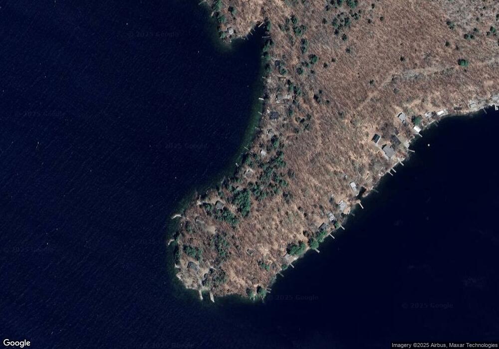
Map
Nearby Homes
- Lot 36 Mauhaut Shores Rd
- 1425 Mount Major Hwy
- 36-3 Checkerberry Ln
- 0 Parker Island Rd Unit 10
- 20 Wyman Dr
- 2696 Lake Shore Rd Unit 108
- 2696 Lake Shore Rd Unit 61
- 6 Cumberland Rd Unit 22
- 38 Spy Gold Ln
- 208 Forest Rd
- 1256 Cherry Valley Rd
- 101 Tuftonboro Neck Rd
- 90 Briarcliff Rd
- 46 Spy Gold Ln
- 235 Cumberland Rd
- 22 Ginger Gold Way
- 39 Deer Run Ln
- 1 Woodbridge Lsp Rd
- 3 Cedar Dr
- 47 Homestead Dr
- 268 Rattlesnake Island
- 278 Rattlesnake Island
- 97C Rattlesnake Island
- 250 Rattlesnake Island
- 842 Rattlesnake Island
- 554 Rattlesnake Island
- 482 Rattlesnake Island
- 264 Rattlesnake Island
- 500 Rattlesnake Island
- 882 Rattlesnake Island
- 654 Rattlesnake Island
- 902 Rattlesnake Island
- 218 Rattlesnake Island
- 100 Rattlesnake Island
- 878 Rattlesnake Island
- 876 Rattlesnake Island
- 330 Rattlesnake Island
- 1020 Rattlesnake Island
- 115 Rattlesnake Island
- 264 Rattlesnake Island