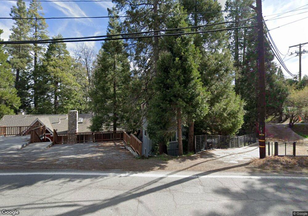
272 S State Highway 173 Lake Arrowhead, CA 92352
Estimated Value: $625,000 - $1,081,000
3
Beds
3
Baths
1,392
Sq Ft
$539/Sq Ft
Est. Value
About This Home
This home is located at 272 S State Highway 173, Lake Arrowhead, CA 92352 and is currently estimated at $749,758, approximately $538 per square foot. 272 S State Highway 173 is a home with nearby schools including Lake Arrowhead Elementary School, Mary P. Henck Intermediate School, and Rim Of The World Senior High School.
Ownership History
Date
Name
Owned For
Owner Type
Purchase Details
Closed on
Apr 19, 2019
Sold by
Nisco Philip Matthew and Nisco Mary A
Bought by
Philip And May Nisco Family Trust
Current Estimated Value
Purchase Details
Closed on
Oct 21, 1999
Sold by
Makhanian Lillie S Tr
Bought by
Nisco Philip Matthew and Nisco Mary A
Home Financials for this Owner
Home Financials are based on the most recent Mortgage that was taken out on this home.
Original Mortgage
$240,000
Interest Rate
7.84%
Create a Home Valuation Report for This Property
The Home Valuation Report is an in-depth analysis detailing your home's value as well as a comparison with similar homes in the area
Home Values in the Area
Average Home Value in this Area
Purchase History
| Date | Buyer | Sale Price | Title Company |
|---|---|---|---|
| Philip And May Nisco Family Trust | -- | None Available | |
| Nisco Philip Matthew | $325,000 | Fidelity Title |
Source: Public Records
Mortgage History
| Date | Status | Borrower | Loan Amount |
|---|---|---|---|
| Closed | Nisco Philip Matthew | $240,000 |
Source: Public Records
Tax History Compared to Growth
Tax History
| Year | Tax Paid | Tax Assessment Tax Assessment Total Assessment is a certain percentage of the fair market value that is determined by local assessors to be the total taxable value of land and additions on the property. | Land | Improvement |
|---|---|---|---|---|
| 2025 | $5,341 | $482,747 | $268,974 | $213,773 |
| 2024 | $5,341 | $473,281 | $263,700 | $209,581 |
| 2023 | $5,288 | $464,001 | $258,529 | $205,472 |
| 2022 | $5,181 | $454,903 | $253,460 | $201,443 |
| 2021 | $5,124 | $445,983 | $248,490 | $197,493 |
| 2020 | $4,911 | $421,615 | $245,941 | $175,674 |
| 2019 | $4,784 | $413,348 | $241,119 | $172,229 |
| 2018 | $4,739 | $405,243 | $236,391 | $168,852 |
| 2017 | $4,655 | $397,297 | $231,756 | $165,541 |
| 2016 | $4,567 | $389,507 | $227,212 | $162,295 |
| 2015 | $4,578 | $383,656 | $223,799 | $159,857 |
| 2014 | $4,449 | $376,141 | $219,415 | $156,726 |
Source: Public Records
Map
Nearby Homes
- 207 Blue Lake Rd
- 262 S State Highway 173
- 384 Primrose Cir
- 0 Village Bay
- 242 Holiday Dr
- 343 Garden Dr
- 28050 State Hwy 189 Unit 212
- 103 Rockledge Ln
- 252 Crest Circle Dr
- 28041 Lakes Edge Rd
- 244 Corona Cir
- 142 Rockledge Ln
- 209 Cool Creek Ln Unit 10
- 256 B Ln
- 226 Holiday Dr
- 158 B Ln
- 222 Holiday Dr
- 316 Canyon Crest Ln
- 207 C Ln
- 323 Canyon Crest Ln
- 274 S State Highway 173
- 201 Blue Lake Rd
- 217 Hwy 173
- 195 Hwy 173
- 276 S State Highway 173
- 268 S State Highway 173
- 275 S State Highway 173 Ln
- 207 Lake Dr
- 237 Bluebell Ln
- 269 State Hwy
- 271 S State Highway 173
- 266 S State Highway 173
- 278 S State Highway 173
- 213 Blue Lake Rd
- 253 Flower Dr
- 257 Bluebell Ln
- 280 State Highway 173
- 246 Bluebell Ln
- 261 Flower Dr
- 233 Blue Bell Ln